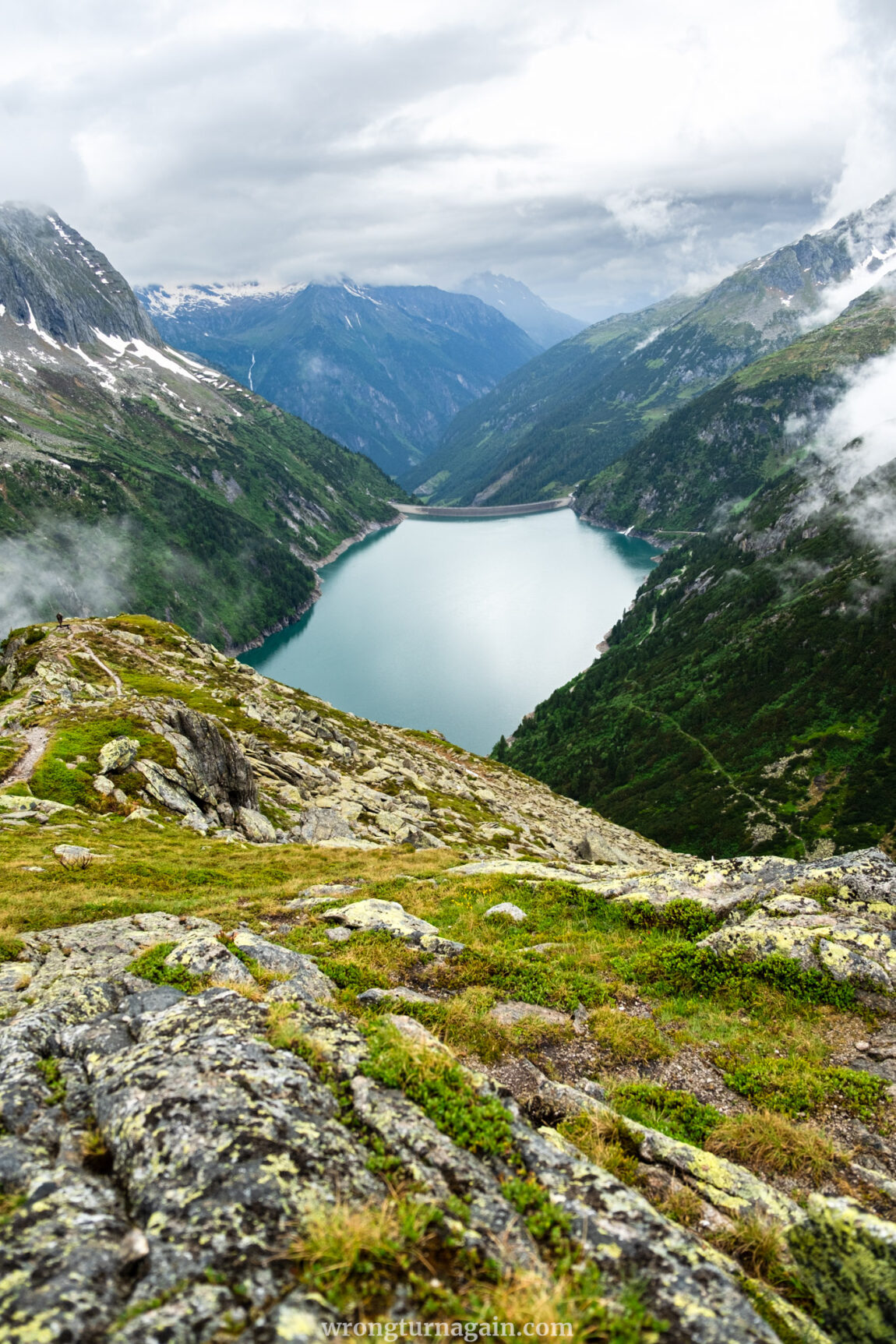
In one of Tyrol’s most dramatic valleys, Zillertal, awaits a day hike that is anything but ordinary. Here, amid misty mountains and cascading waterfalls, you’ll find the Zillergründl Speicher, a turquoise reservoir that captivates with its serene beauty. Stroll among Tibetan prayer flags, reach epic viewpoints, hike past grazing cows and babbling streams, and find moments of peace at alpine huts.
Inside this Guide
THE HIKE ESSENTIALS
● Trailhead: Zillergründl Reservoir
● Distance: 15,4km (loop)
● Time: 5h 30min
● Ascent: 695m
● Min/Max Elevation: 1,85m / 2,478m
● Difficulty: moderate
● Where to Eat: Plauernerhütte, Hohenaualm, Einkehr zum Adlerblick, Gasthaus Bärenbad im Zillertal
● When to Visit: mid-June to mid-September
About the Zillergründl
The Zillertal Valley
Zillertal is one of the gorgeous valleys of Tyrol. It is named after the Ziller River that flows through it, which also lends its name to the Zillertal Alps, the strongly glaciated section of the Alps in which it lies. It features a few side valleys itself, such as the charming Zillergrund, and five reservoirs. One of these reservoirs, and the destination of your hike, is the Speicher Zillergründl, located in the rear part of Zillergrund called Zillergründl.

Did you know? “Tal” means valley in German, while “Speicher” translates as reservoir.
The Zillergründl Side-Valley
The approx. 20 km-long Zillergründl Valley stretches from Mayrhofen to the Austrian-Italian border and is traversed by a toll road that ends at the reservoir. This road is 18 km in total, but only the first 14 km are open to cars; the remaining 4 km leading to the reservoir can only be traversed by bus or bike.
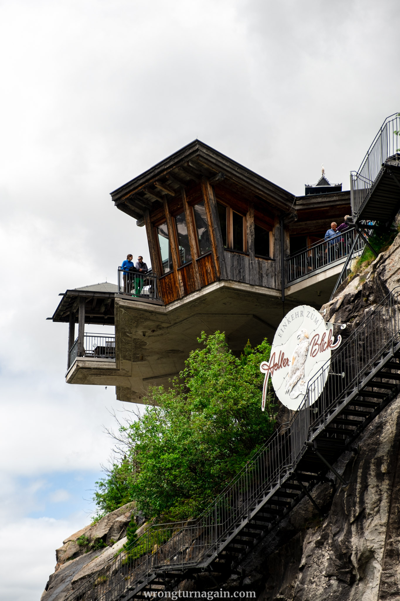
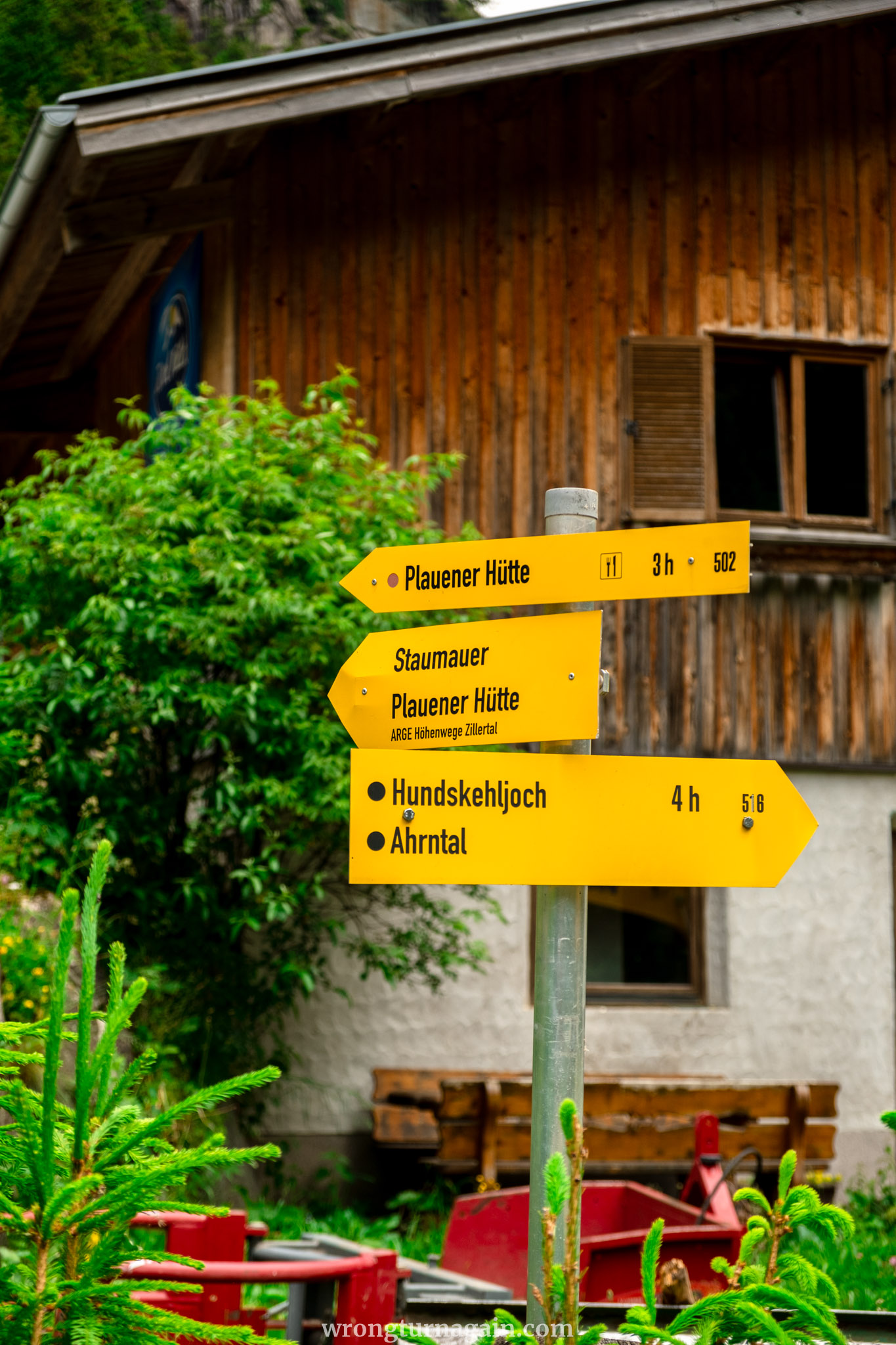
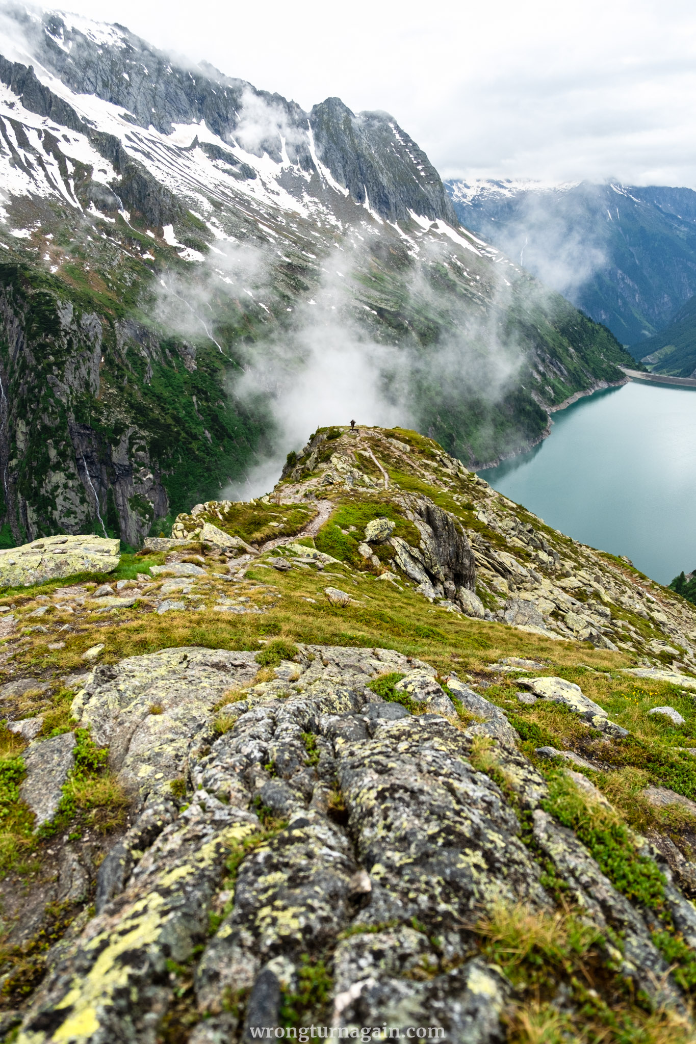
Along this road are a handful of traditional inns where you can spend the night or stop to grab a bite, such as Der Klaushof, Häusling Alm, and Bärenbadalm. At the end of the road, at an altitude of 1,850m, lies the Zillergründl Reservoir and the Einkehr zum Adlerblick restaurant, from where you can enjoy panoramic views of the artificial lake.
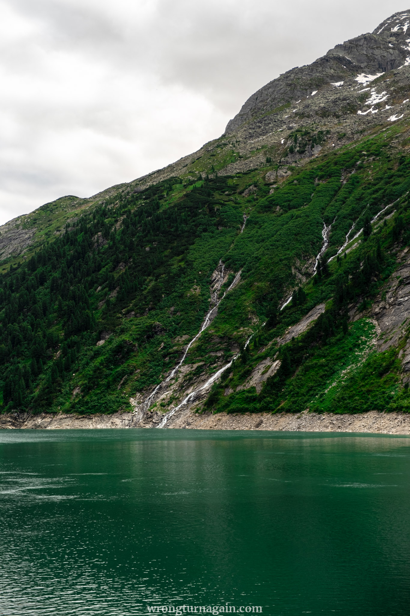
The Zillergründl Reservoir
The 3 km-long and 186 m-tall reservoir, constructed over seven years, was completed in 1987. Today, its water flows through a tunnel to the Häusling Power Plant and, after electricity is generated, continues to another reservoir, Speicher Stillup, located 35 km away by road. A path starting from the reservoir leads you to two quaint mountain huts. These are the Plauner Hütte and the Hohenaualm, the latter also known as the “Little Tibet of the Ziller Valley,” which are our destinations in this guide.

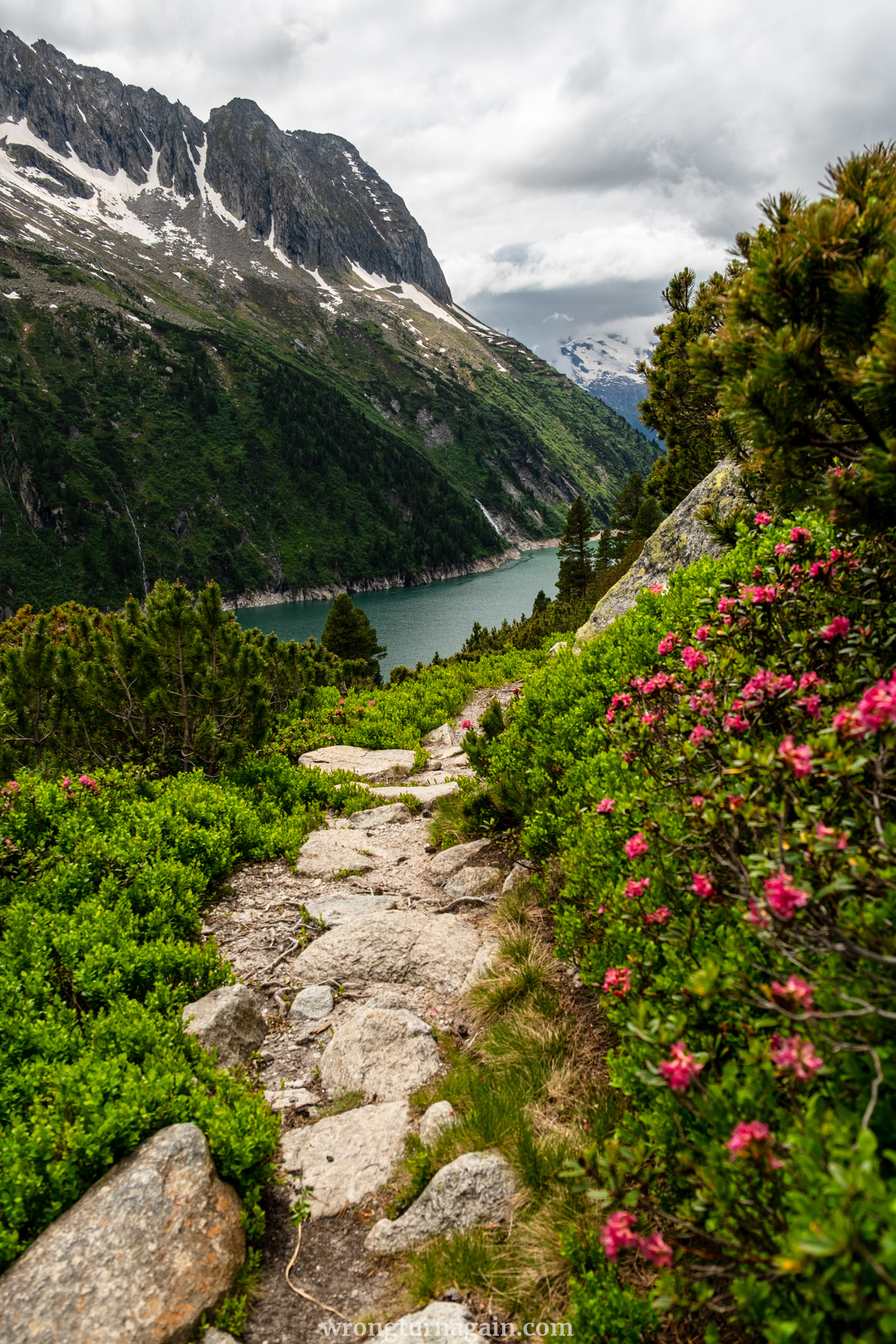
The Hike around the Zillergründl Reservoir
Starting from the Einkehr zum Adlerblick restaurant, you have two main hiking destinations: the Plauener Hütte and the Hohenaualm (aka Little Tibet). For an easy hike, head to the Hohenaualm, located on the shores of the reservoir. For panoramic views, hike up to the Plauener Hütte. If you prefer a longer day hike, you can combine both destinations into a loop trail connecting the two huts.
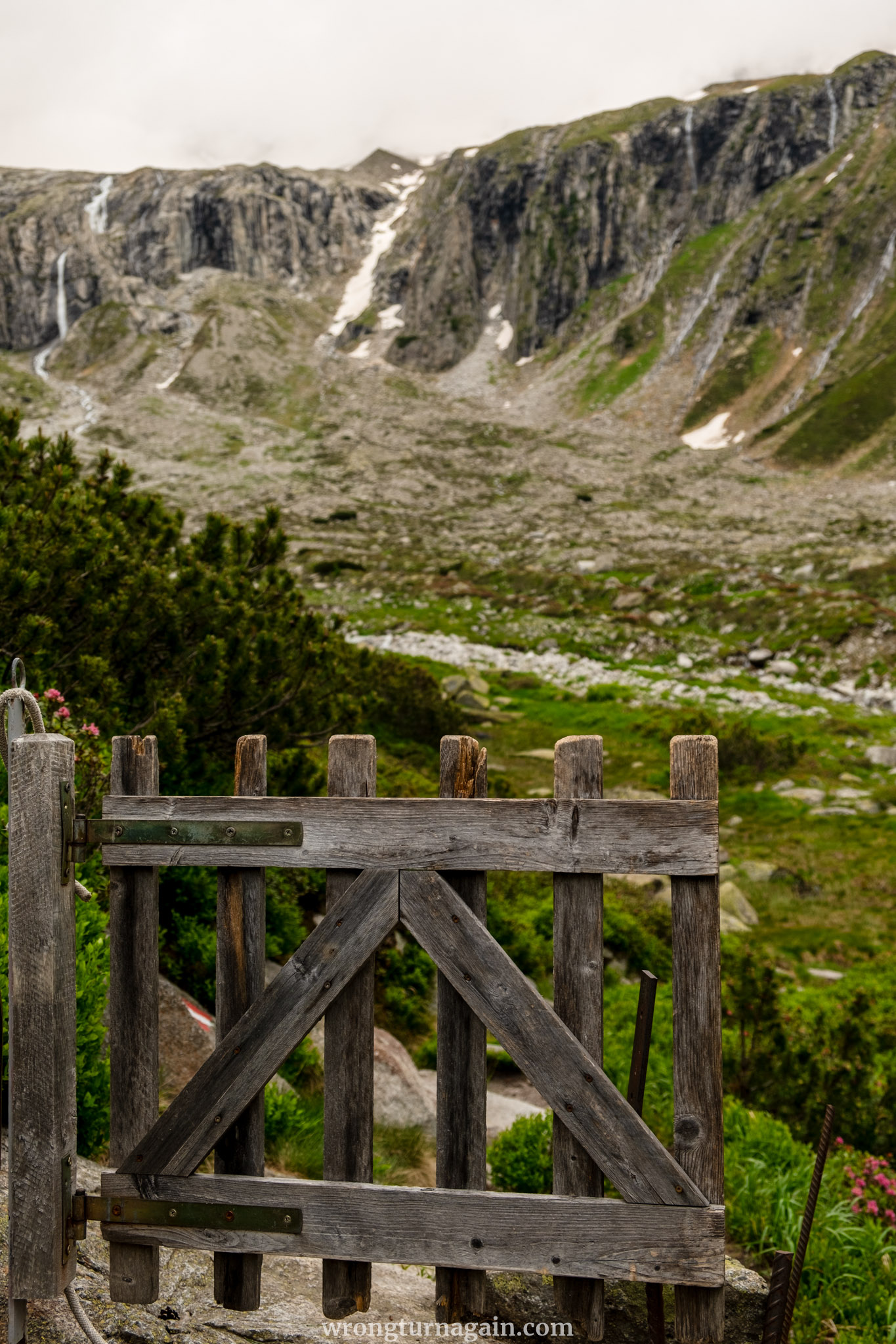
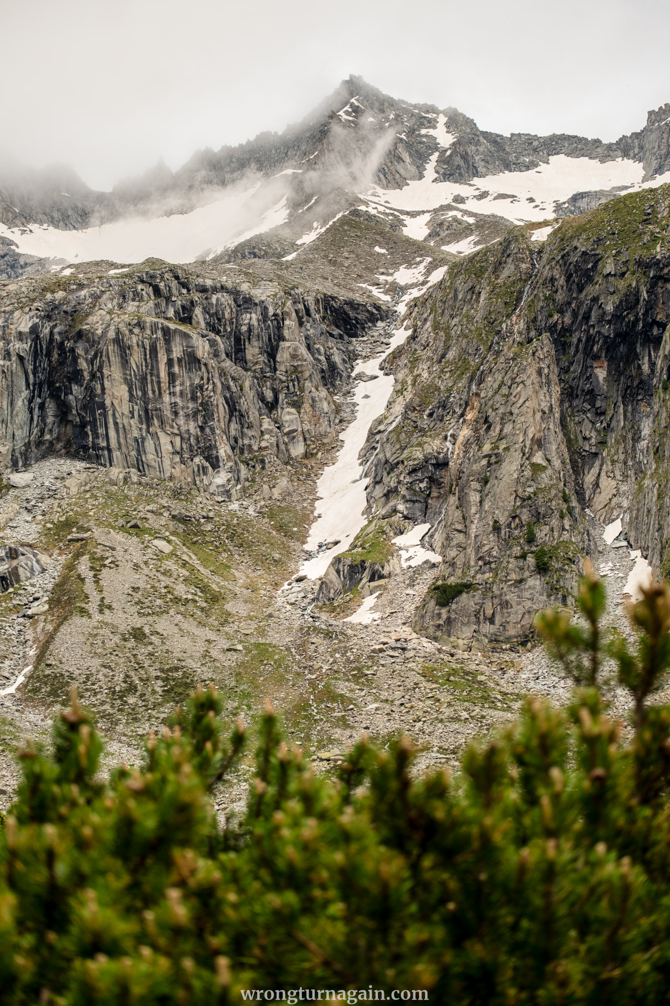
Here’s an overview of the one-way routes:
- To Little Tibet (one way: 3.9km, 1h, +75m, -60m): This almost flat path hugs the reservoir, offering a straightforward route that runs parallel to the water.
- To Plauener Hütte (one way: 4.1km, 2h, +515m): A more challenging uphill hike that rewards you with stunning panoramic views.
- Plauener Hütte & Little Tibet Loop (loop: 15.4km, 5h 30min, +695m): A scenic loop that connects both huts for a comprehensive hiking experience.
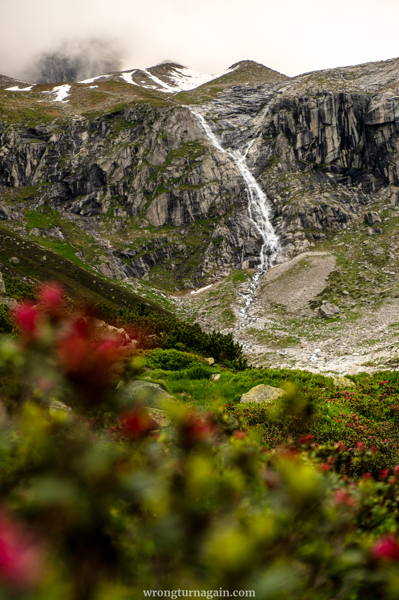
We will guide you through the third option, the loop that connects the two huts. If you wish to visit only the Plauener Hütte, follow the first section described below and retrace your steps. For the Hohenaualm, follow the third section in reverse.
| Section I – From Einkehr zum Adlerblick to Plauener Hütte |
Our hike to the 2,363-meter-high Plauener Hütte begins at the Einkehr zum Adlerblick restaurant, located by the dam of the Zillergründl Reservoir. This spot is also where the bus from Mayrhofen will drop you off.
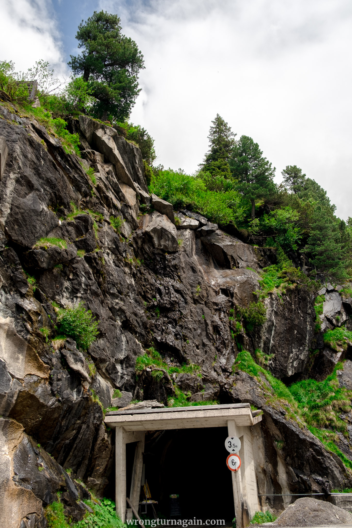
The journey starts by following a gravel road along the northern shore of the reservoir, with the first section passing through a tunnel. After about 1.5 km, the path diverges from the road to the left, marking the start of your ascent. Over the next 2.5 km, you will climb about 540m to reach the hut.
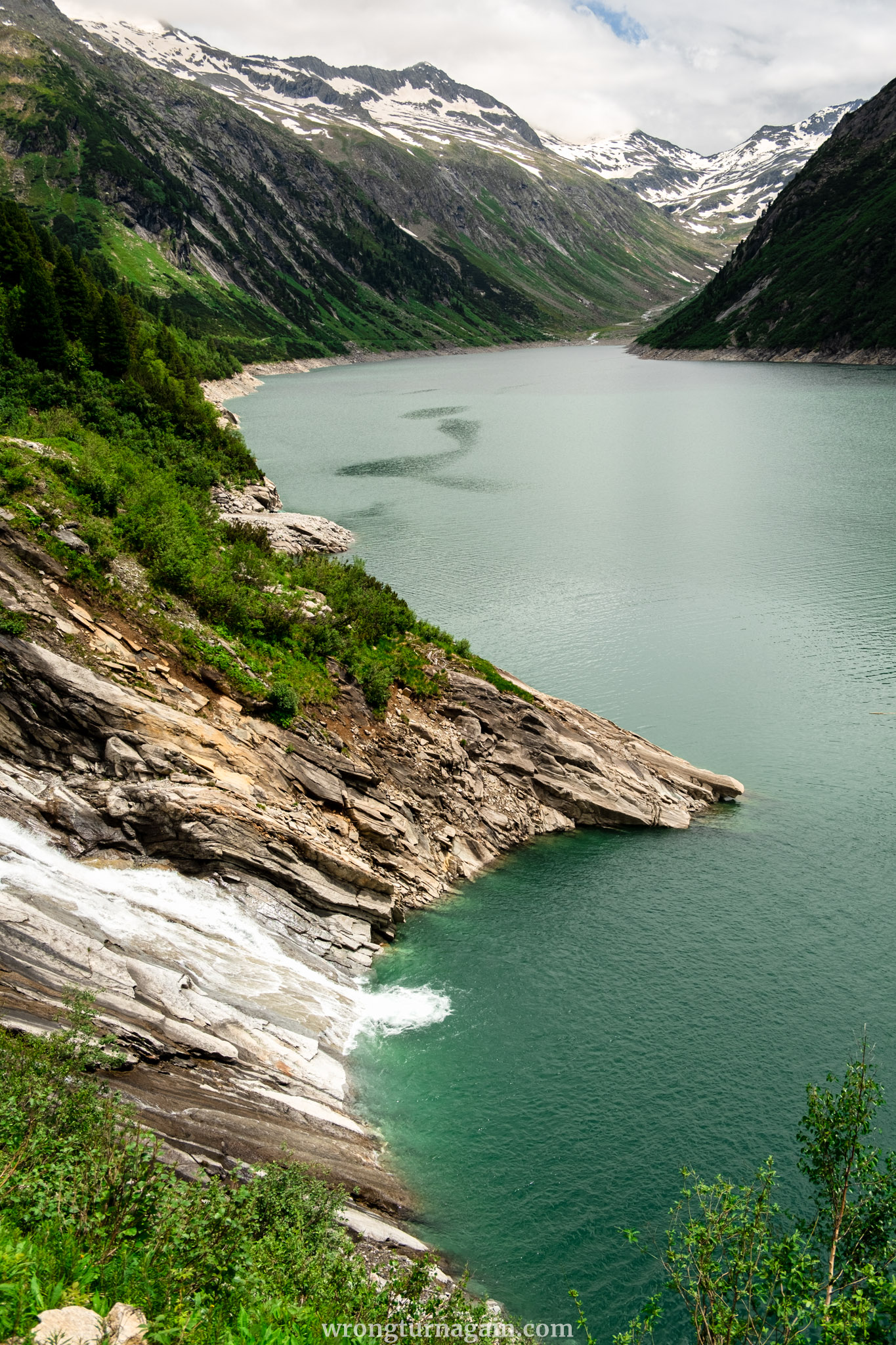
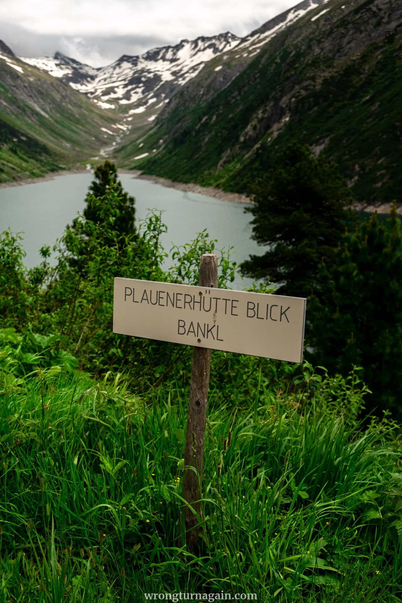
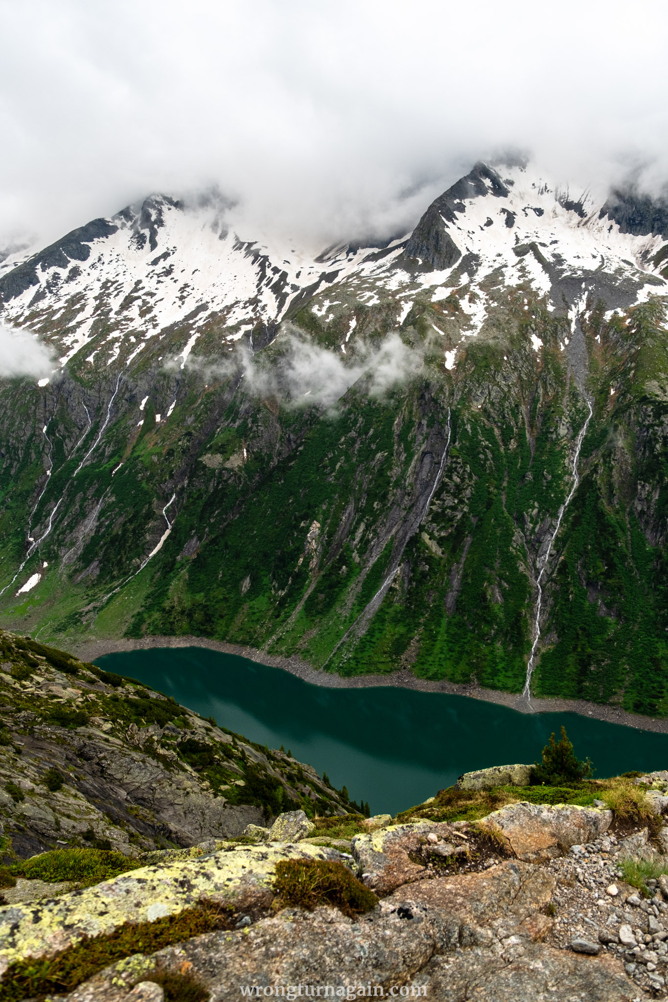
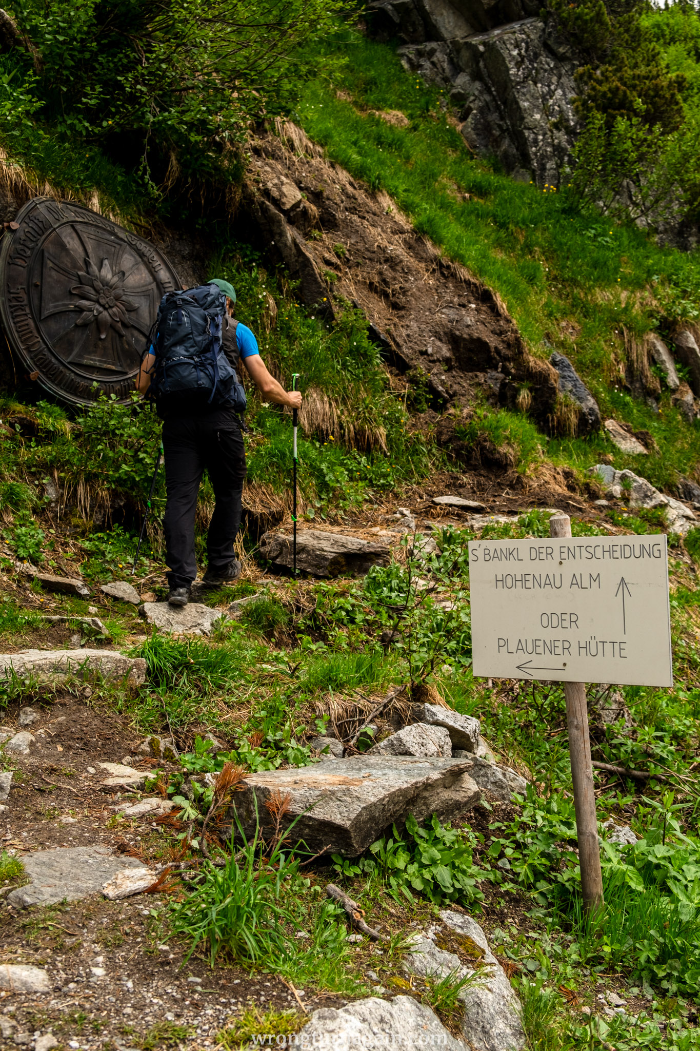
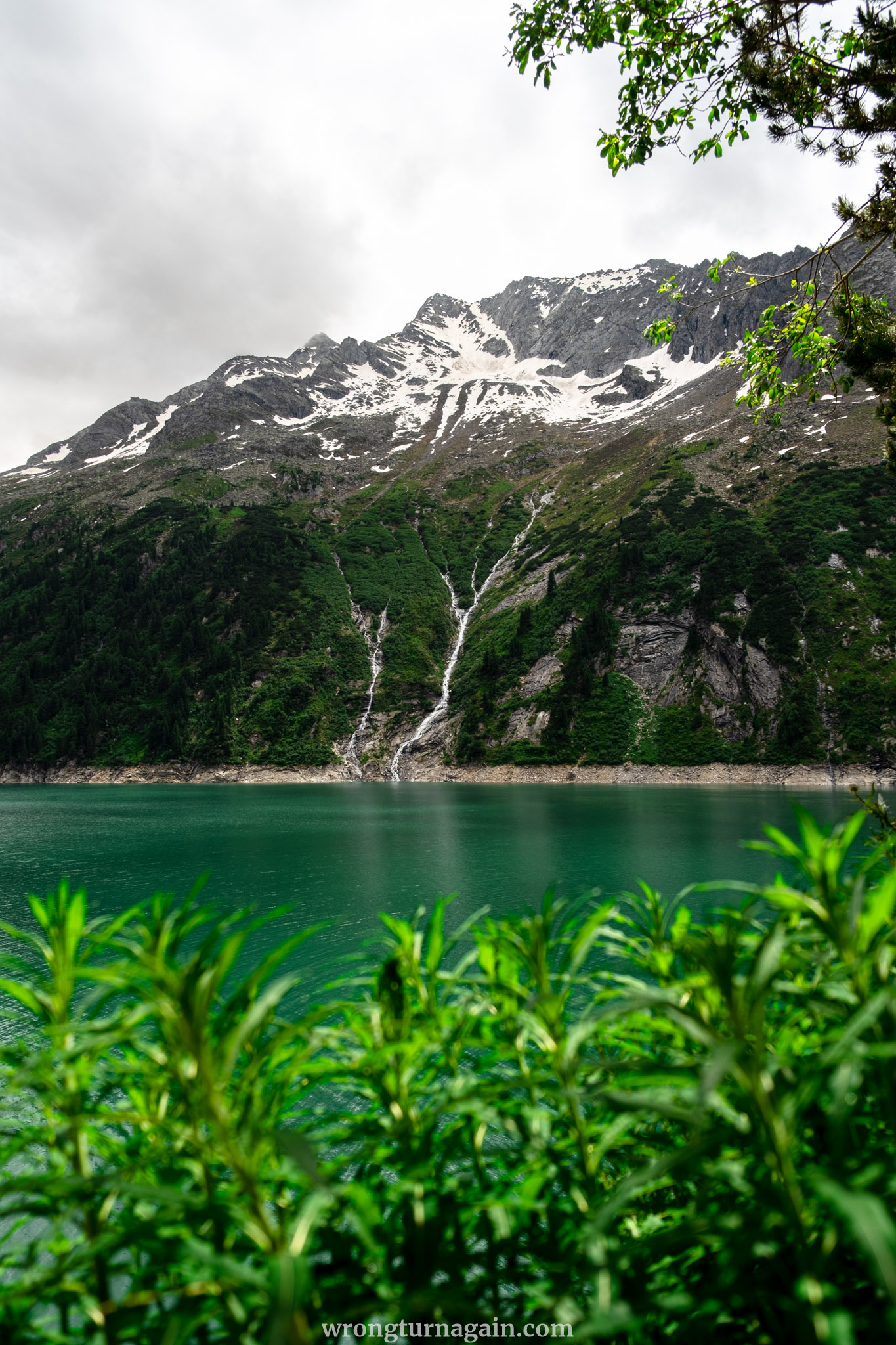
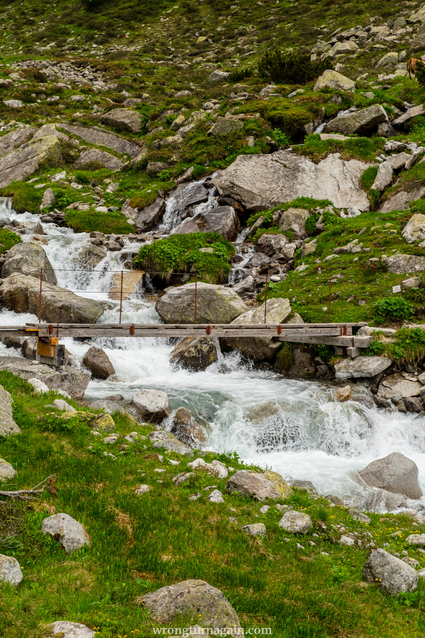
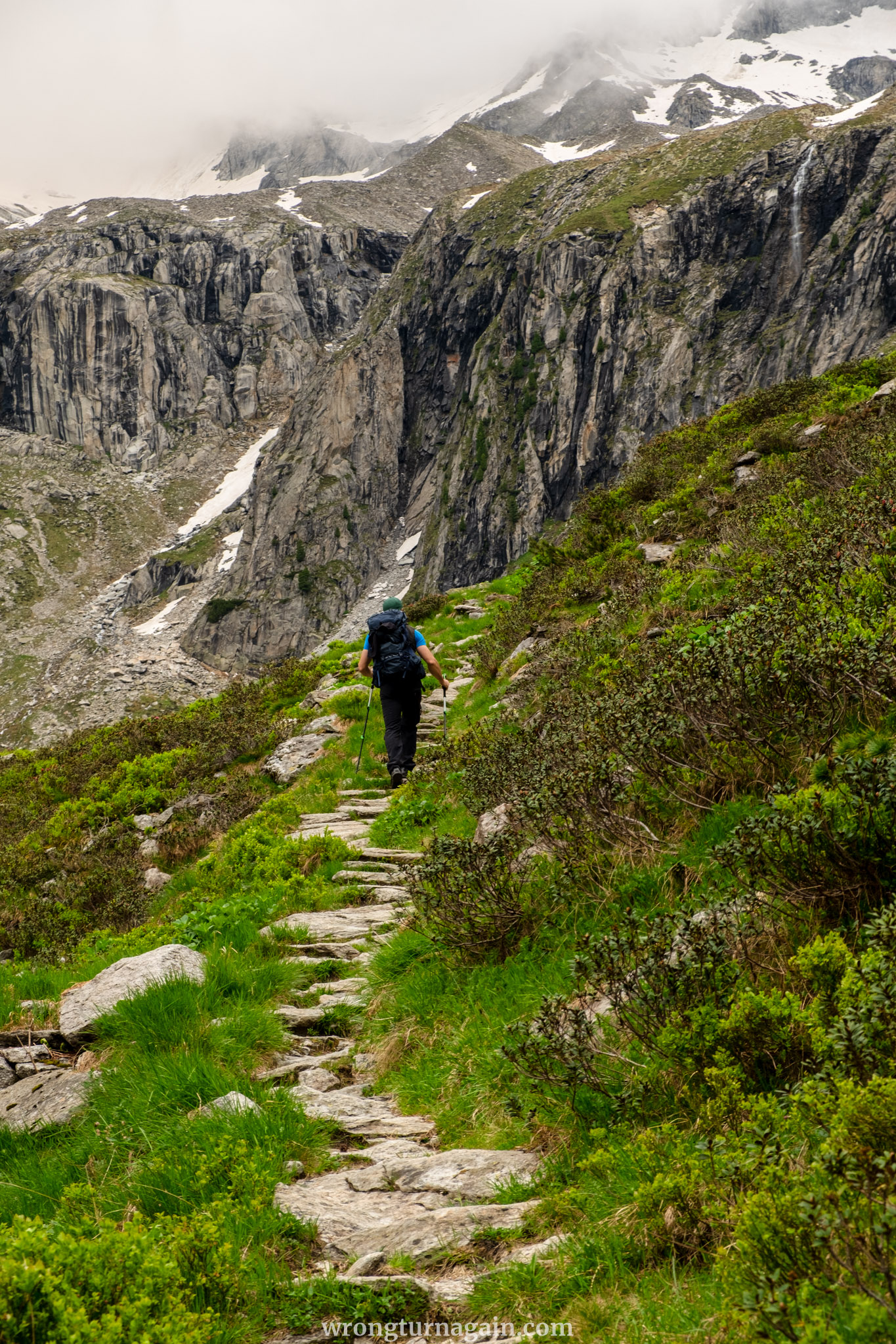
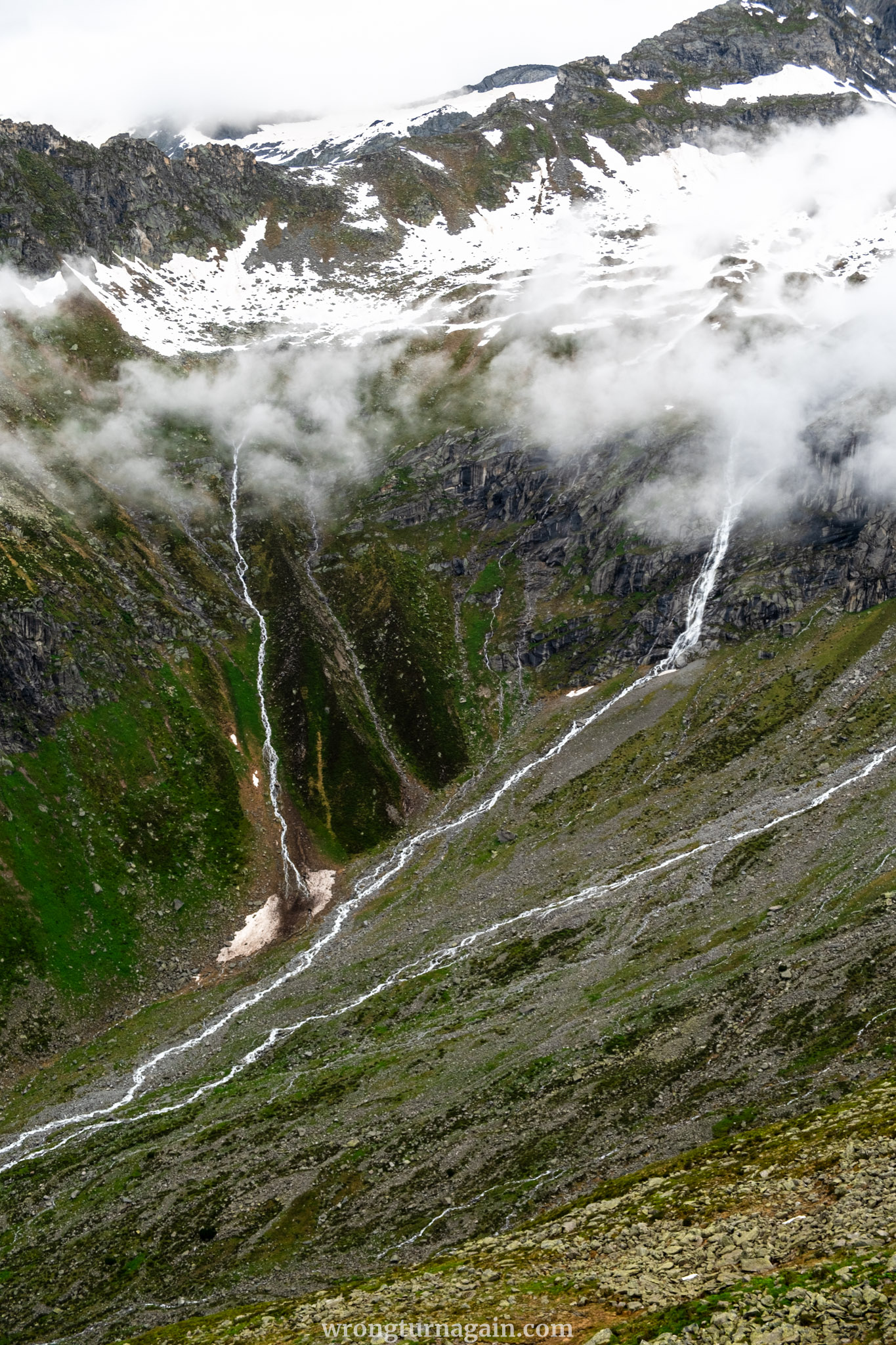
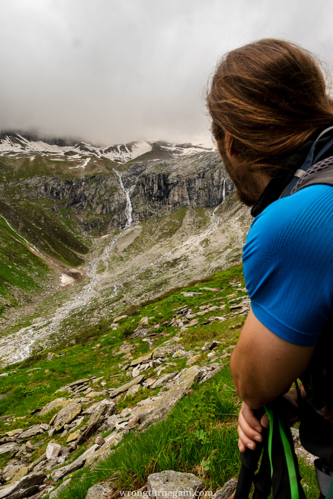
This trail leads you uphill through a scenic landscape of forests and heath, reaching the Keesbach stream. From here, it winds up the rocky slope in a series of switchbacks, with a few exposed sections secured by wire cables for safety. Looking westward, the shimmering turquoise waters of the Zillergründl Reservoir dominate the view, while the north-to-southeast panorama is filled with the glacier-capped peaks of the Zillertal Alps, including Wildgerlosspitze, Reichenspitze, and Zillerspitze.
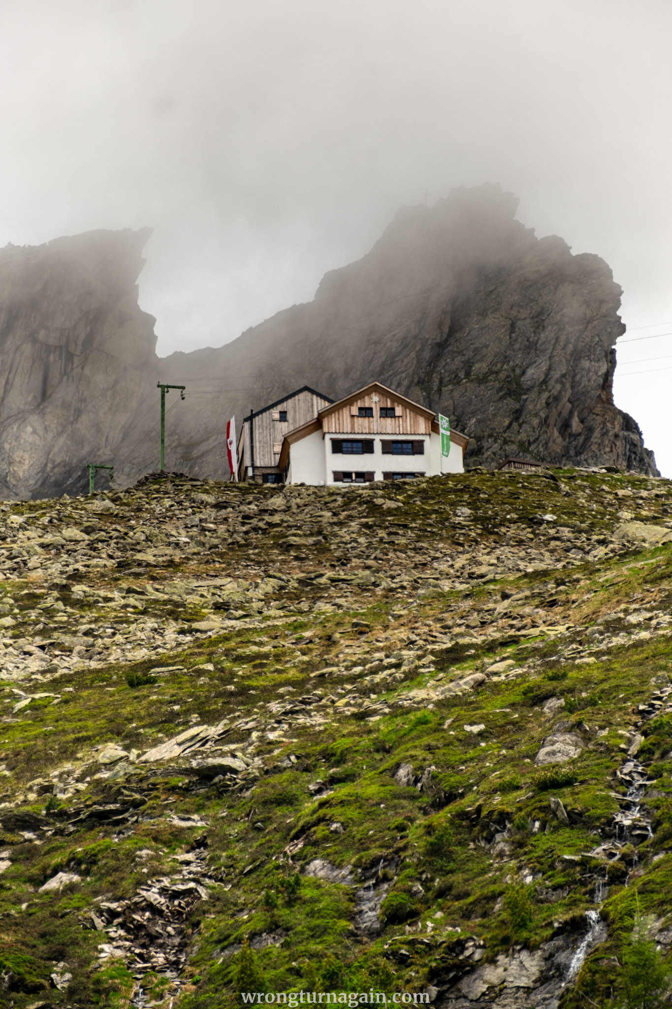
The Plauener Hütte
Nestled in the high mountain landscape within the Zillertal Alps Nature Park, the Plauerner Hütte offers a solitary retreat where you can enjoy magnificent views of the reservoir below and the waterfalls cascading down the surrounding mountains. Rest on its sun-drenched terrace, grab a bite to eat, or even spend the night there.

Tip: For experienced hikers, there are further hikes starting from the Plauener Hütte, such as those to Reichenspitze (3,303m) and Rainbachköpfl (2,690m). For those opting for an overnight stay, the next day can be spent hiking to the Zittauer Hütte (3 hours), the Richterhütte (5 hours 30 minutes), or the Krimmler Tauernhaus (6 hours).
| Section II – From Plauener Hütte to Hohenaualm |
From the Plauener Hütte, take the Hannemannweg (Trail No. 502) heading south toward Heilig-Geist-Jöchl. The trail is mostly flat or has a slight incline for the first 4 km, often crossing rocky terrain on the slopes. You’ll occasionally cross streams as you move through the Hohenaukar and Seekar (Keeskar) areas. Here, the trail to Zillerplattenscharte branches off to the left, while our descent route (Trail No. 517) takes a right turn a bit further along.
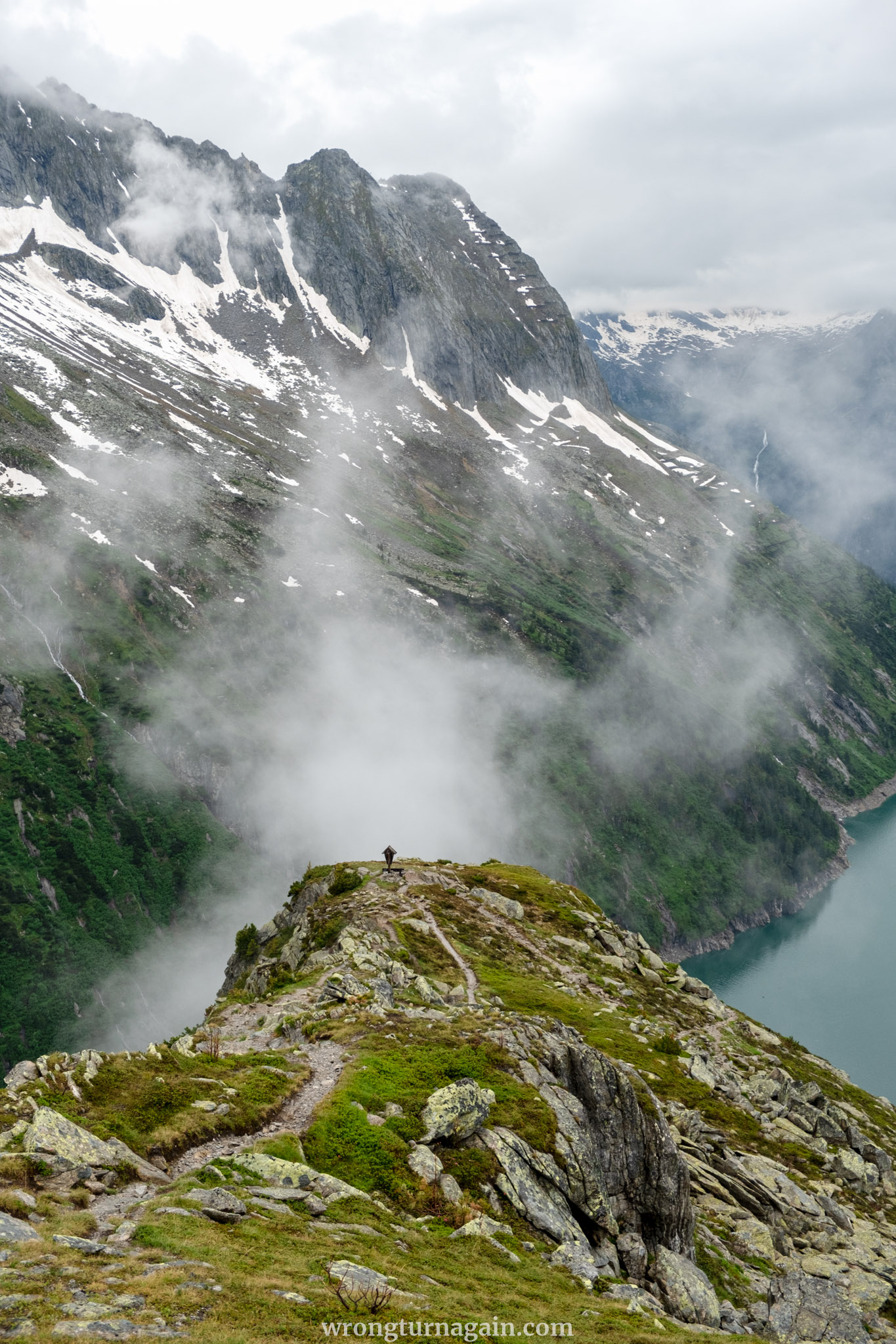

The path then descends about 600 meters over increasingly green and rocky ground, winding down to the Oberboden area and turning outward along the valley. Staying to the right of the stream, the path gently slopes down to the Hohenaualm.
The Hohenaualm
The Hohenaualm is a modest alpine hut situated at 1,869 meters, also known as the “Little Tibet of Zillertal.” This name is inspired by the resemblance of the region to Tibetan landscapes, featuring narrow alpine meadows surrounded by high peaks and rock formations. Some Tibetan influences, such as prayer wheels and prayer flags, give this area a special cultural touch.
Roll the prayer wheels, check out the Klein Tibet sign made from large wooden letters, and enjoy the surroundings. Free-range chickens, pigs, and cows roam around the Alm, and you can have lunch while enjoying chill-out views of the reservoir.
*Alternative route
If you prefer a shorter hike, retrace your steps from the Plauener Hütte to the base of the reservoir. After about 1.5 km or approx. 40 minutes, take the path branching to your left (starting here) to descend to the base of the reservoir.
This shortcut path takes about 15 minutes, covering a distance of 650 meters and descending some 130 meters. From the base of the reservoir, follow the gravel road along the shore to Little Tibet, which is 1.5 km away (about 25 minutes).
| Section III – From Hohenaualm to Einkehr zum Adlerblick |
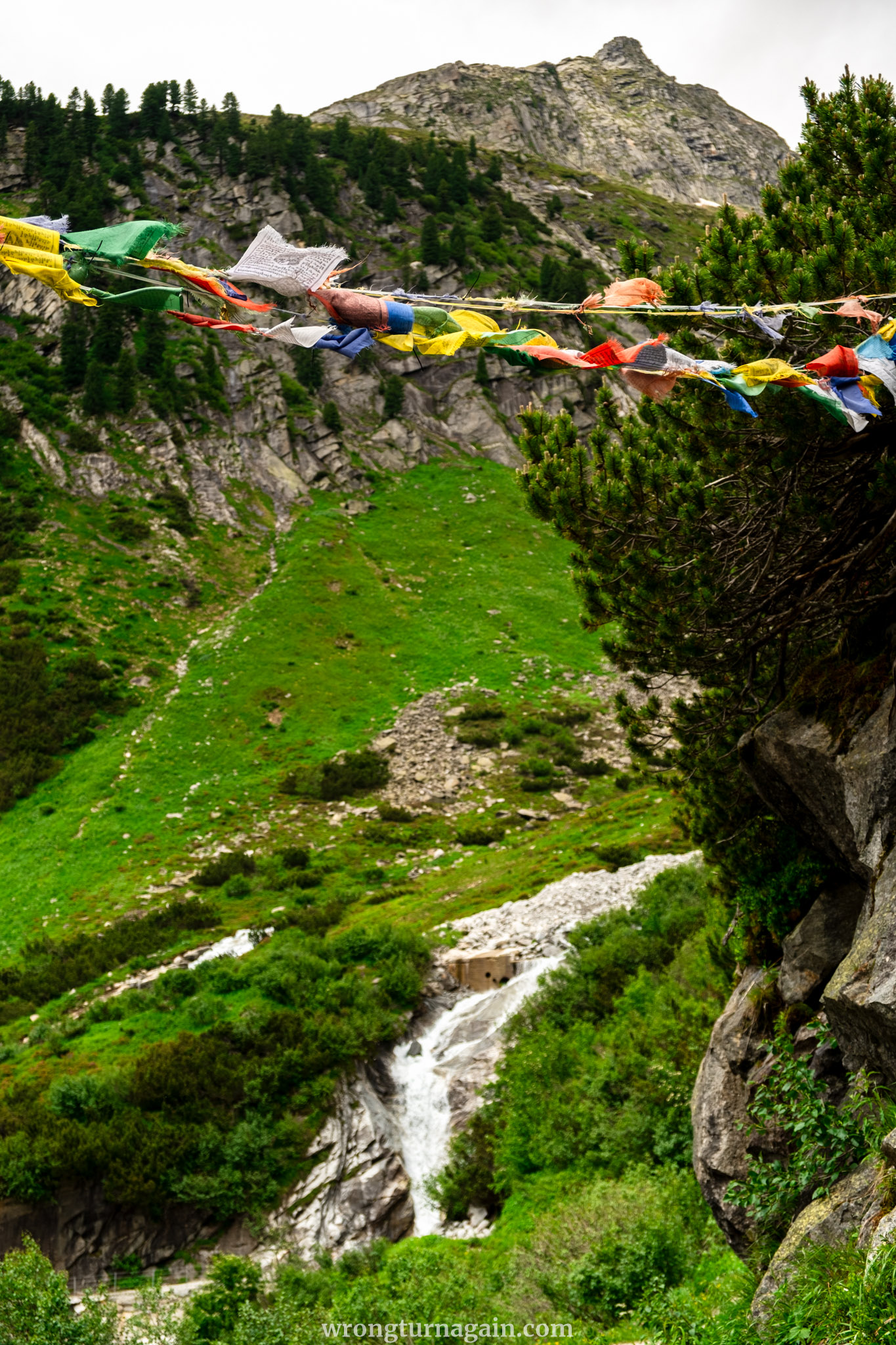
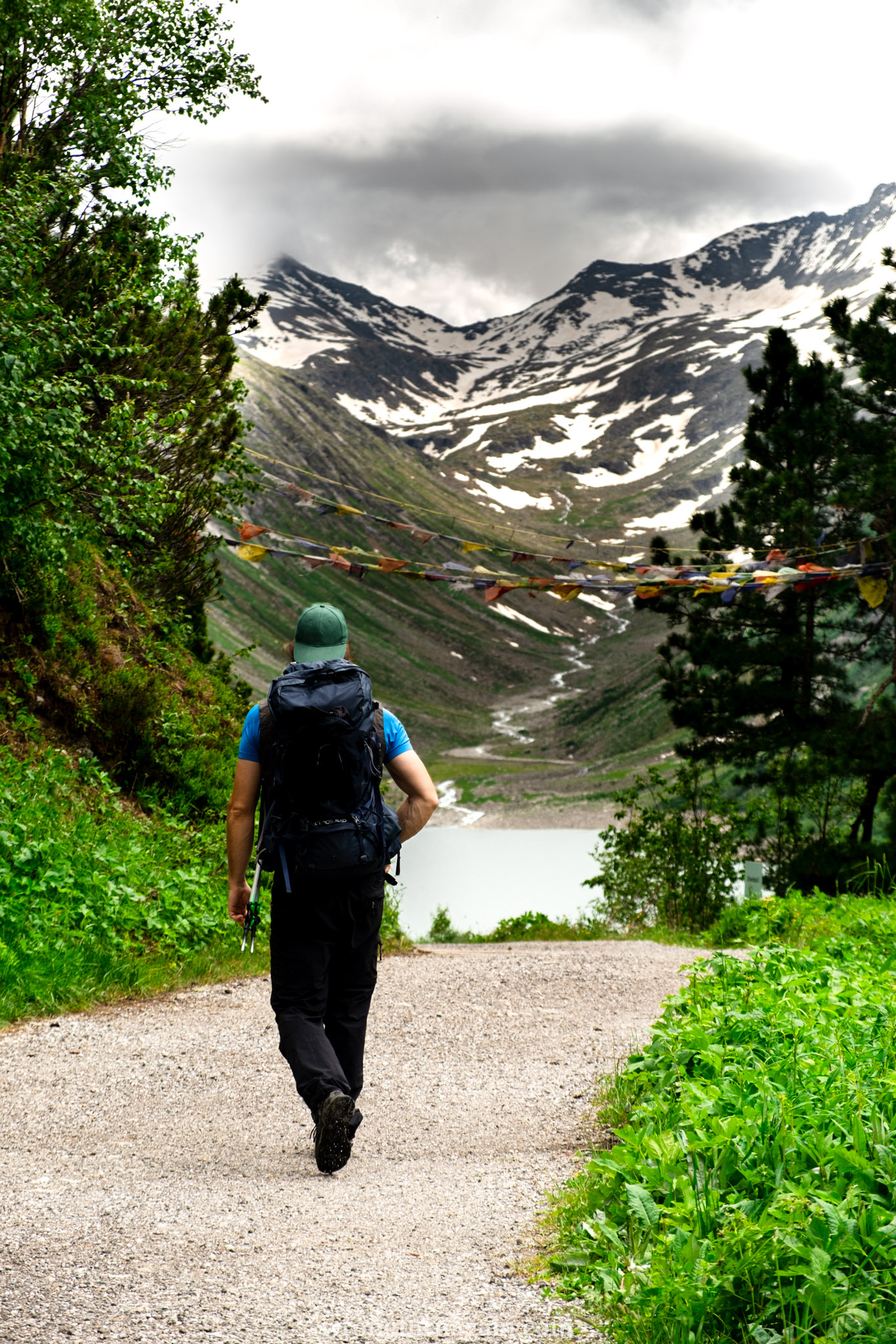
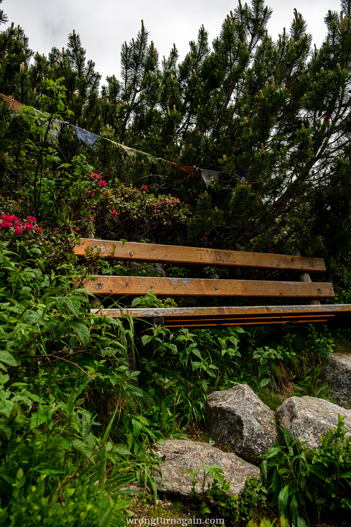
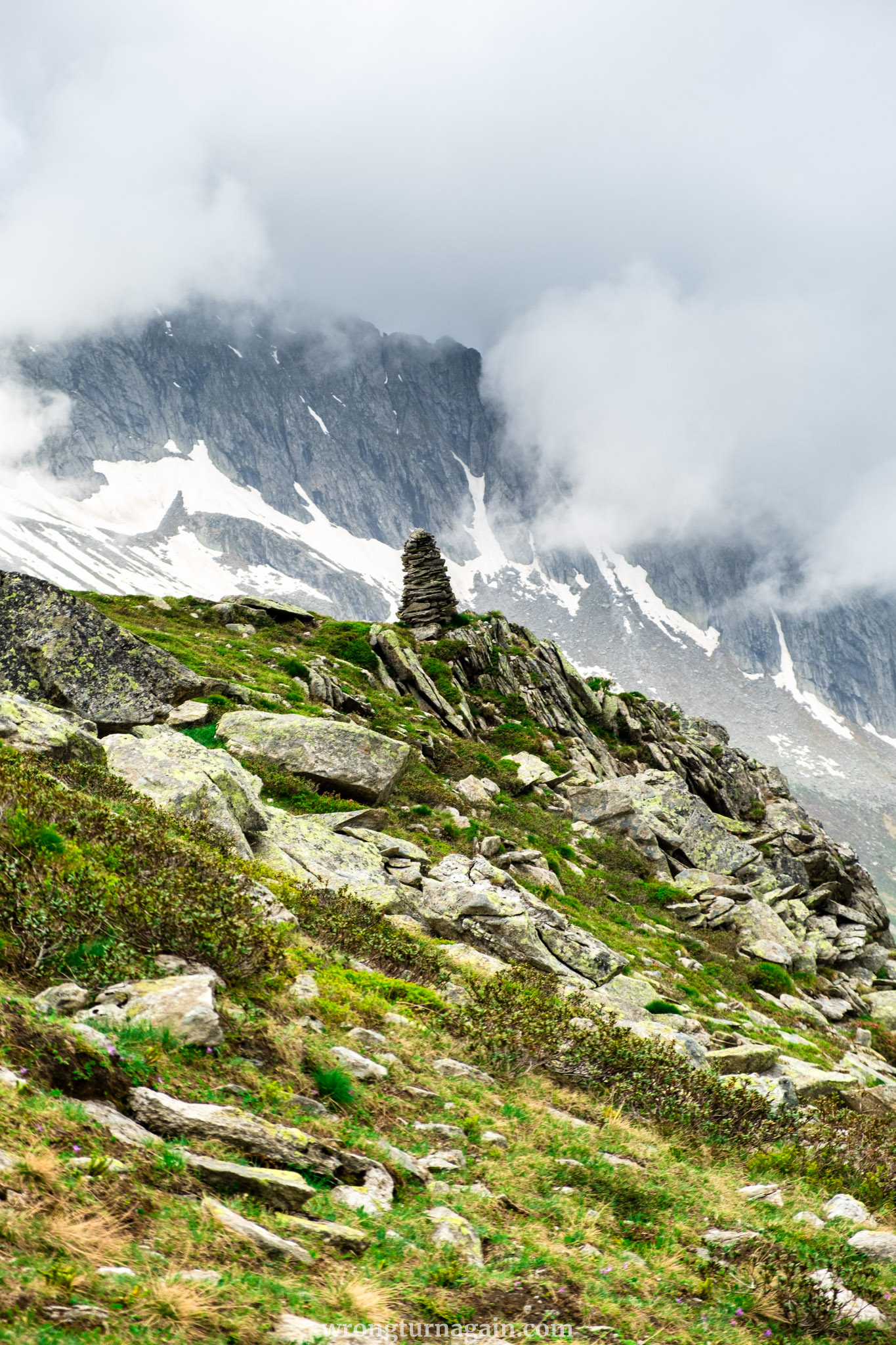
From Klein Tibet, head back to your trailhead by following the gravel road that runs parallel to the reservoir, slightly downhill, and shared with bikes. Along the way, you will pass colorful Tibetan prayer flags, wooden benches, and signs featuring various sayings, many of which have a religious or philosophical touch.
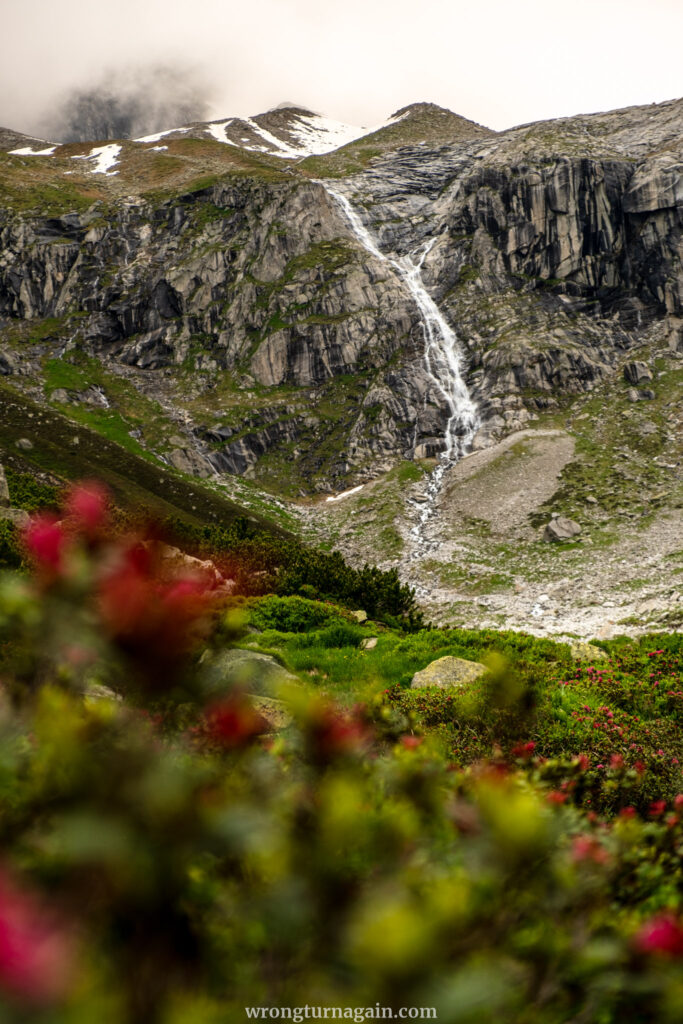
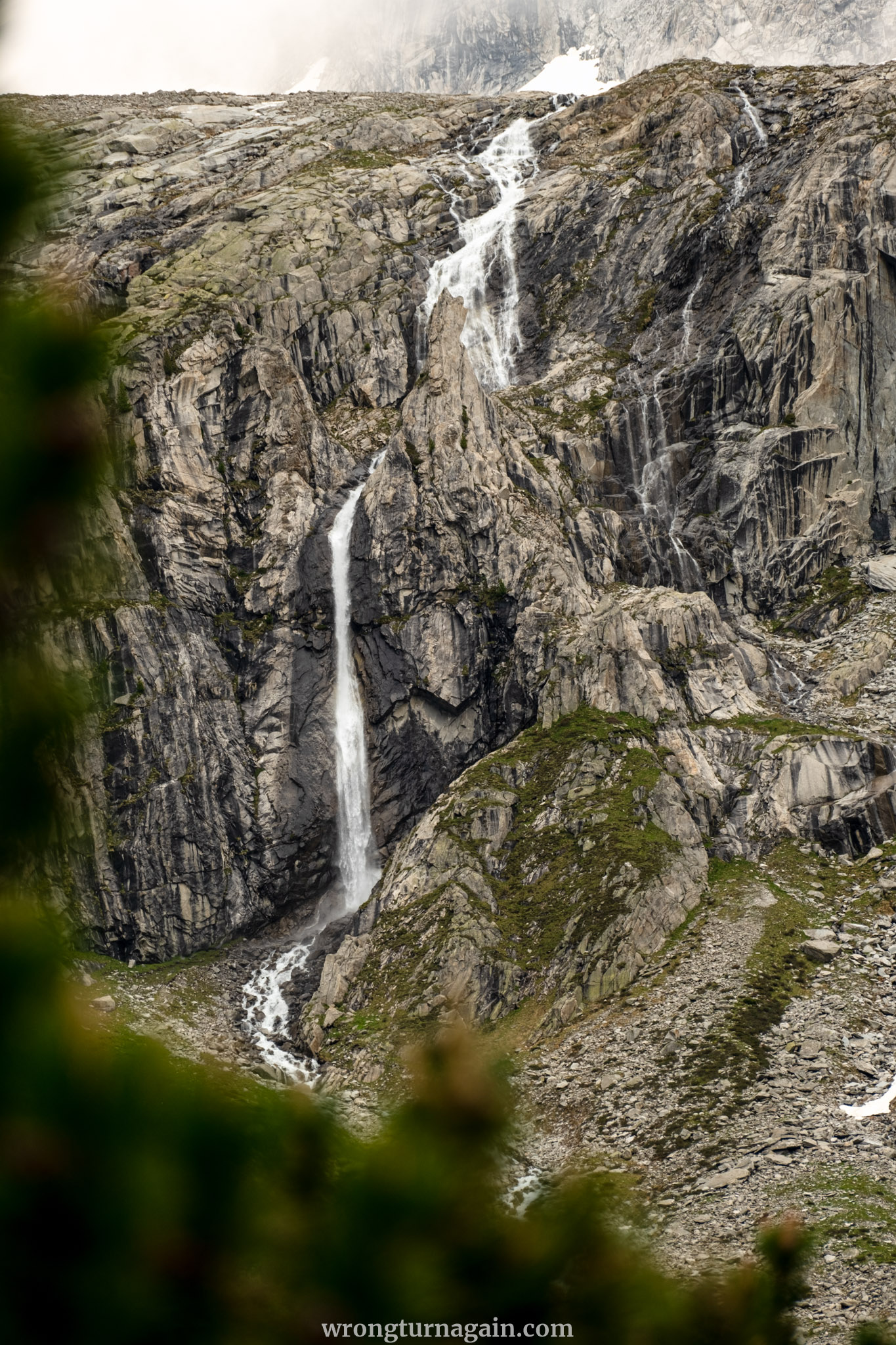
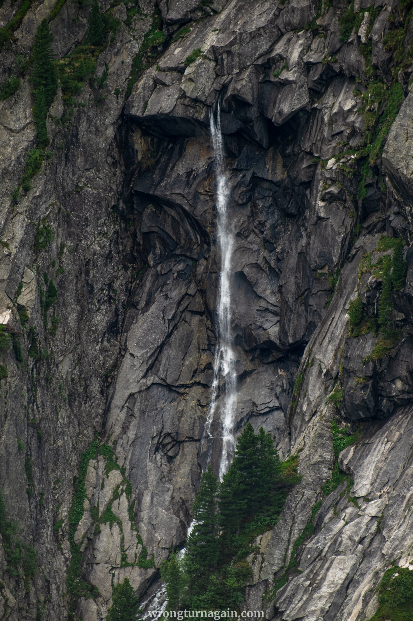
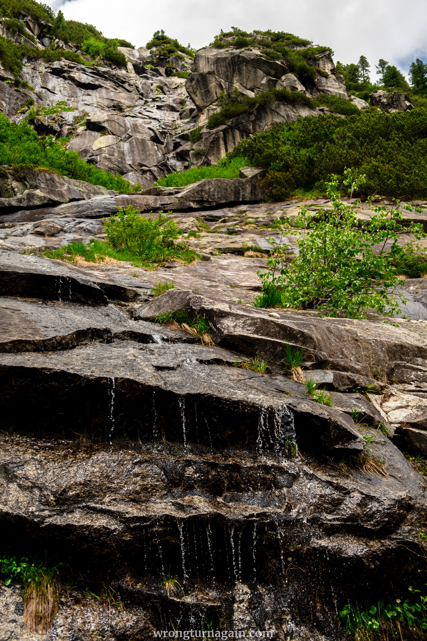
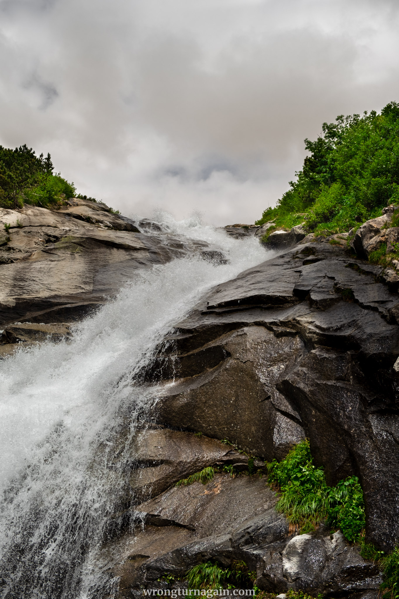
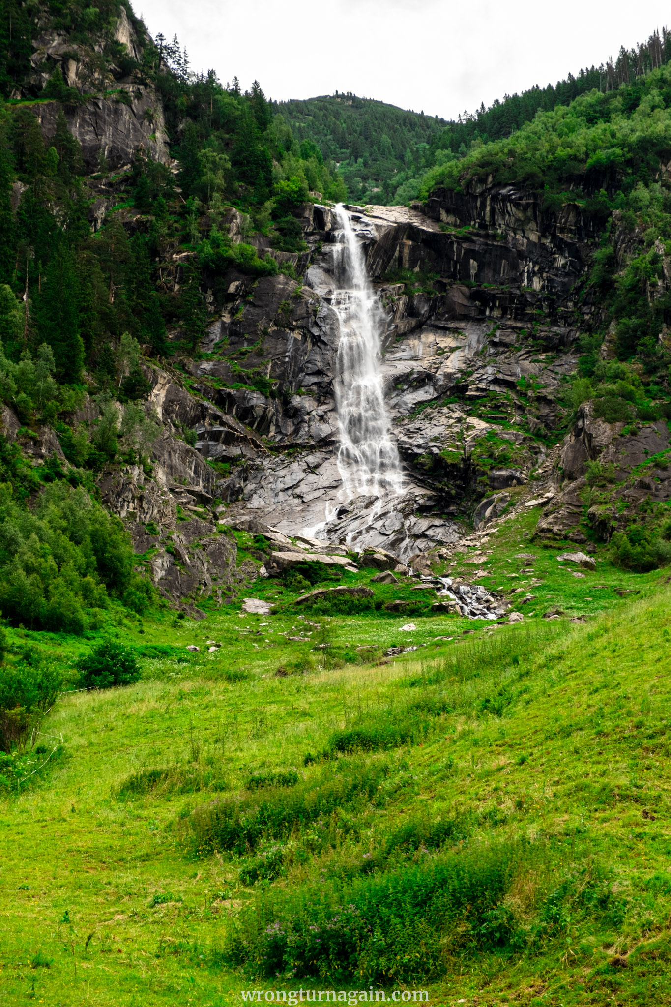
After about 2.5 km, you will arrive at the same point where you started your hike: the turn-off that leads up to the Plauener Hütte. Ignore this turn-off and continue retracing your steps to the trailhead. This route will take you past the waterfall, whose spray reaches the trail, and through the rock tunnel that brings you back to the Adlerblick Restaurant.

How to Get to the Zillergründl Reservoir Trailhead
Your hike starts at the Zillergründl Reservoir, where the Adlerblick restaurant is located. This is at the end of the 18km toll road that starts after Mayrhofen. If you are traveling by bus or bike, you can get directly to the trailhead. However, if you are arriving by car, you will need to park 4km before the reservoir and cover the remaining distance on foot (a 400m ascent) or by bus.

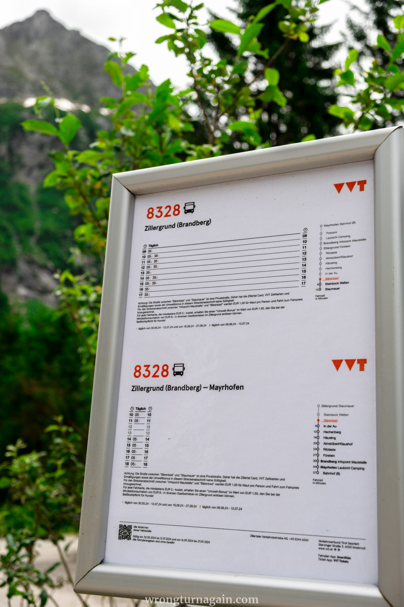
For every bus ticket costing at least EUR 2.00, you will receive an “environmental bonus” worth EUR 1.50, which you can redeem at a minimum consumption of EUR 6.00 in various restaurants in the Zillergrund.
By Bus
First, make your way to the village of Mayrhofen in Zillertal. Regular trains run to the Mayrhofen train station from nearby towns, with a transfer required at Jenbach. Once in Mayrhofen, take Bus Line #8328 to Zillergrund, which operates from June to September. Get off at the Zillergrund Staumauer stop, which is the trailhead, after about 1 hour.

Ticket: For train tickets and timetables, click here. If you are already in Mayrhofen, a one-way bus ticket costs EUR 8.70 and can be purchased online or from the bus driver (bring cash).
By Car
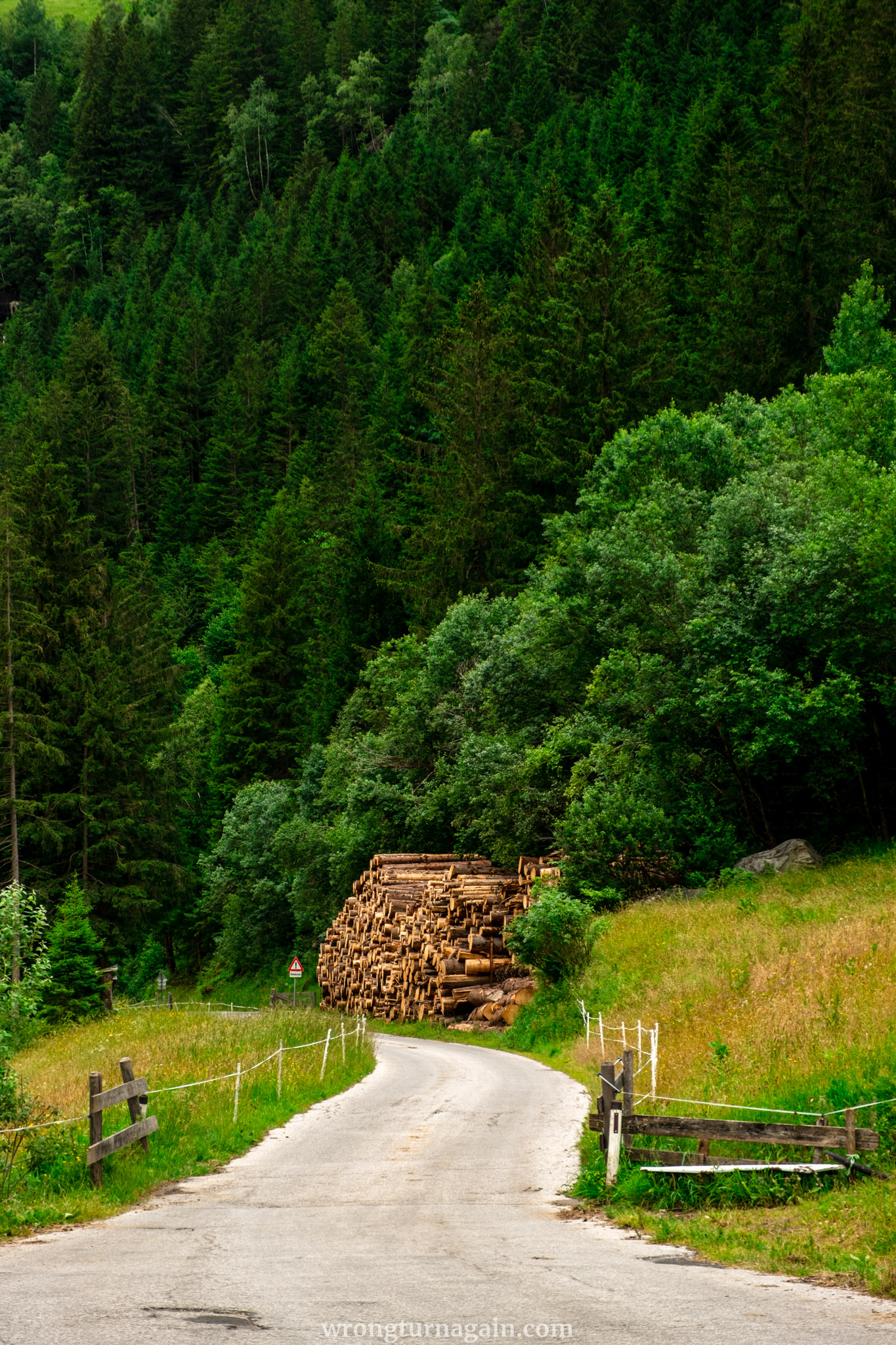
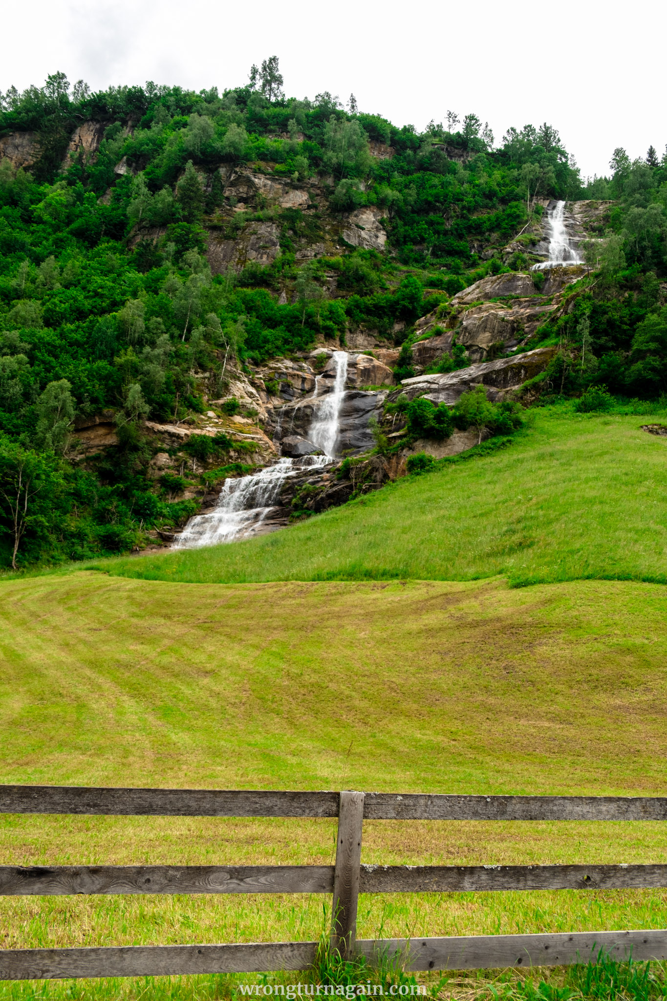
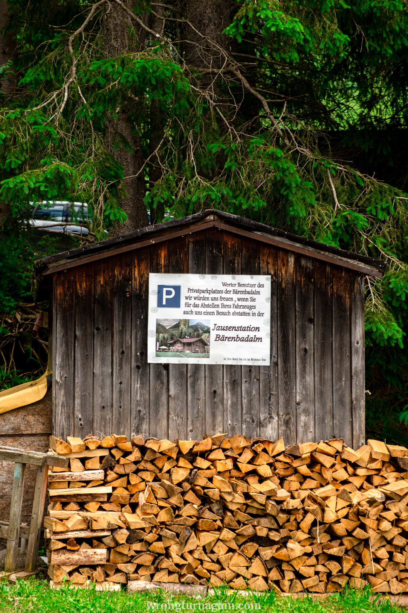
Set your destination to Bärenbad Wanderparkplatz. You’ll drive along a scenic toll road, which costs €10 for cars and €5 for motorbikes (cash only). The drive is beautiful, featuring tunnels, waterfalls, quaint inns, and grazing cows.
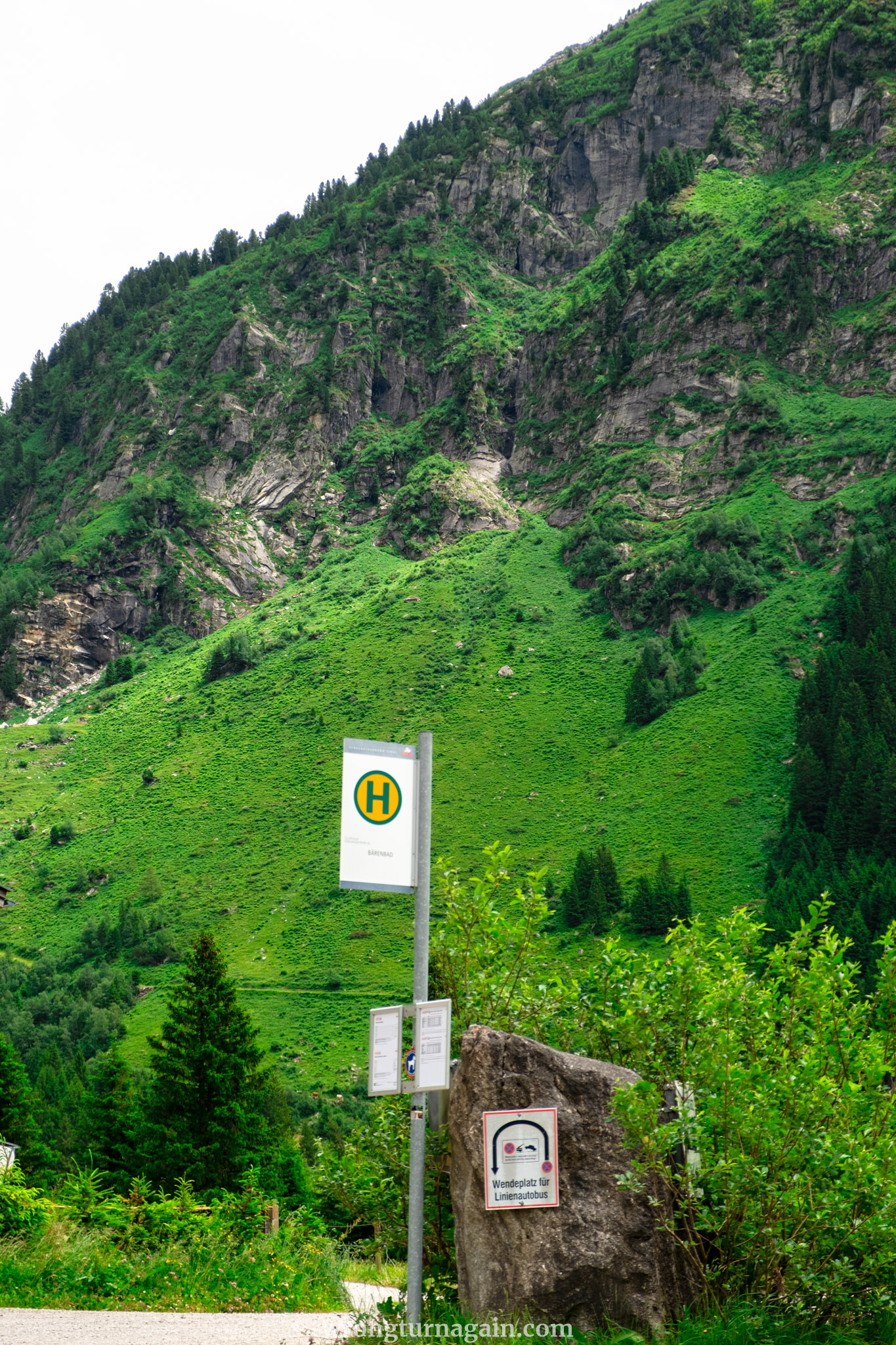
You can park for free at either the Bärenbad Wanderparkplatz or the adjacent Bärenbad restaurant parking lot. The trailhead is 4km from the parking area. To reach it, you can take Bus Line #8328, which departs from just across the parking lot and costs €2.90 for a 10-minute ride. Alternatively, you can walk to the trailhead following an uphill path.
Hiking from Bärenbad (parking) to the Trailhead
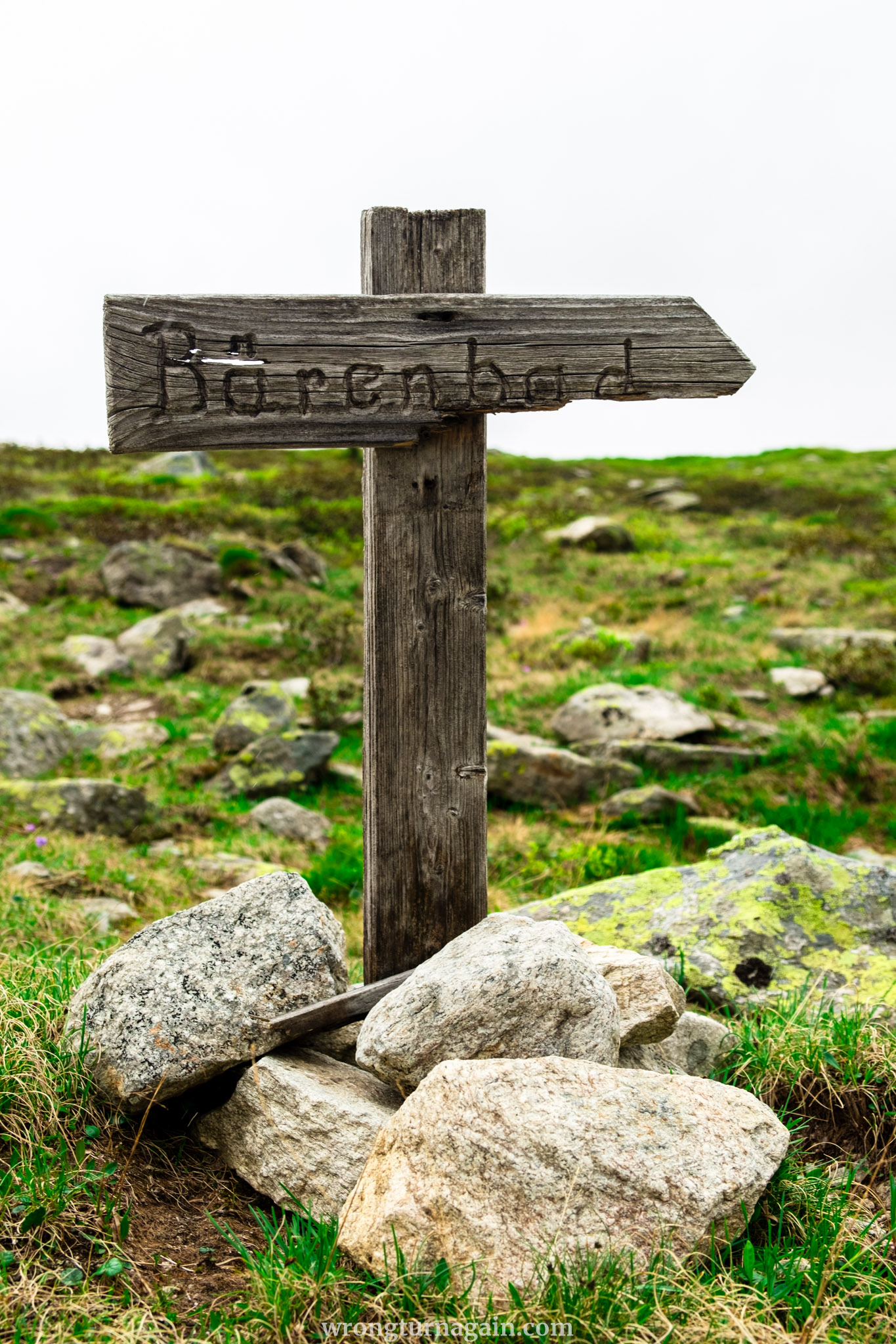
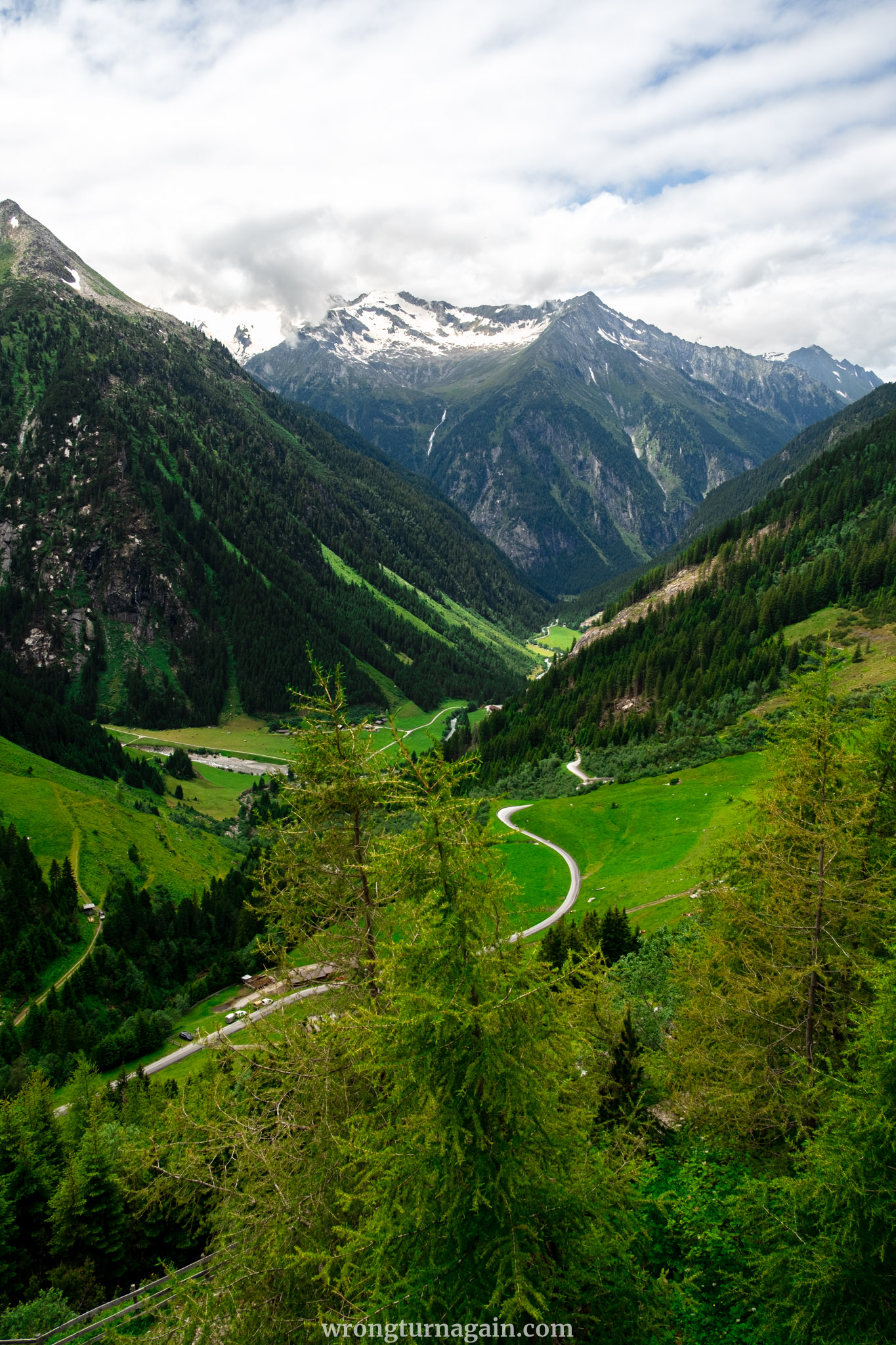
Begin your hike from the Bärenbad parking lot by heading north and passing the bus stop on your right. After about 300 meters, you will see yellow signposts on your right indicating the way to the Staumauer. Leave the road here and follow the trail, which first winds through meadows with grazing cows before ascending on a narrow forest path that eventually rejoins the road.
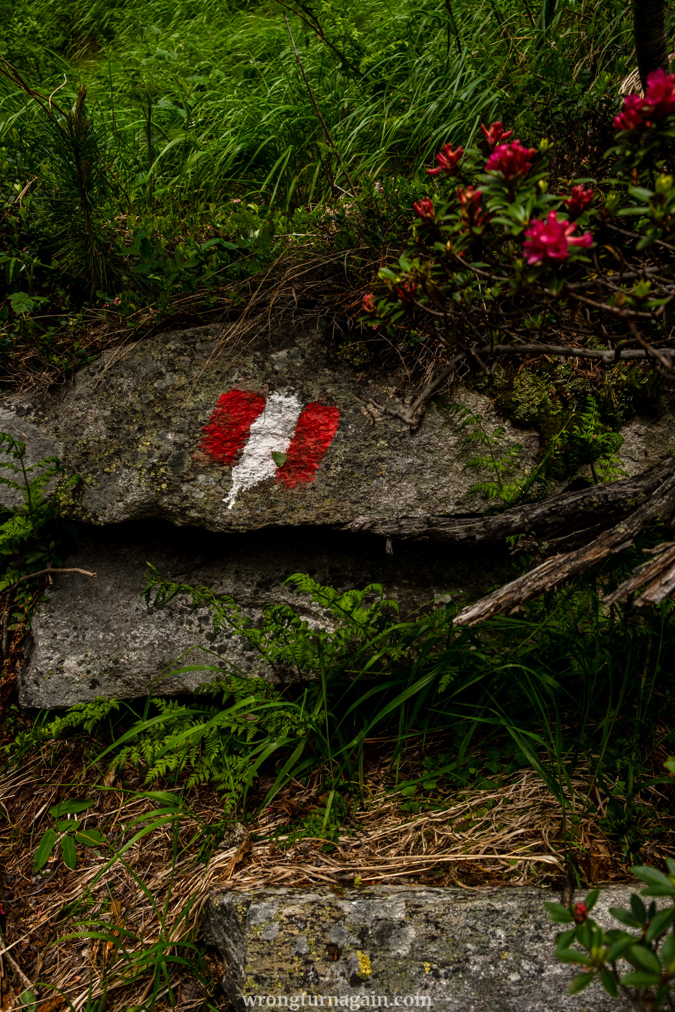
Continue uphill along the road for another 300 meters. When you see the first house on your left, take the forest path that passes by it. Follow the well-marked trail, which briefly intersects the road one more time before leading you up to the reservoir.

Where to Eat in Zillergründl
The destinations of your hike are two alpine huts where you can enjoy hearty meals with scenic views. If you prefer to eat after concluding your hike, there are two convenient huts, one at the trailhead and one at the parking lot. Additionally, you can always dine at one of the guesthouses or restaurants scattered throughout the Zillergründl Valley.
- Plauernerhütte: As the first stop on your hike, this hut is perfect for a well-deserved mid-hike break, especially since you will have completed the ascent by the time you arrive. While the food may not be the best you’ve tried, a refreshing drink on the terrace with the majestic views surrounding you is highly recommended.
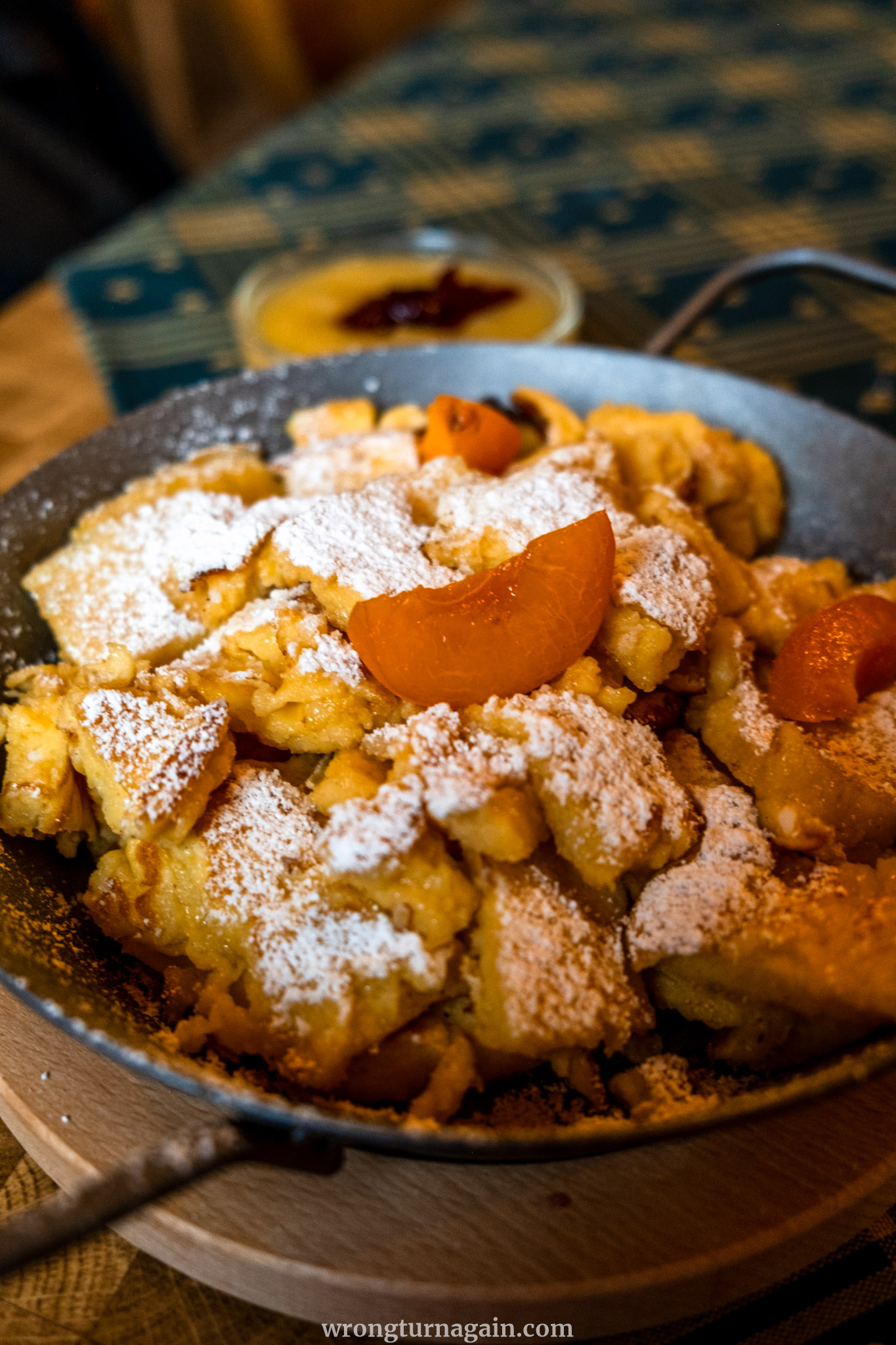
- Hohenaualm: Right by the reservoir, this place is an ideal spot to unwind, with animals roaming freely and a rustic setting inspired by Tibetan culture. Add to this the delicious hearty meals and sweet delights, and you have our top pick for food during your hike. If you haven’t already tried it, this is also an authentic place to try the ‘Buttermilch’.
- Einkehr zum Adlerblick: Situated by the dam at the trailhead and bus drop-off point, this is a perfect spot to enjoy a meal after your hike while waiting for the bus to take you down to Mayrhofen. The outdoor seating provides stunning views of the reservoir and surrounding mountains.
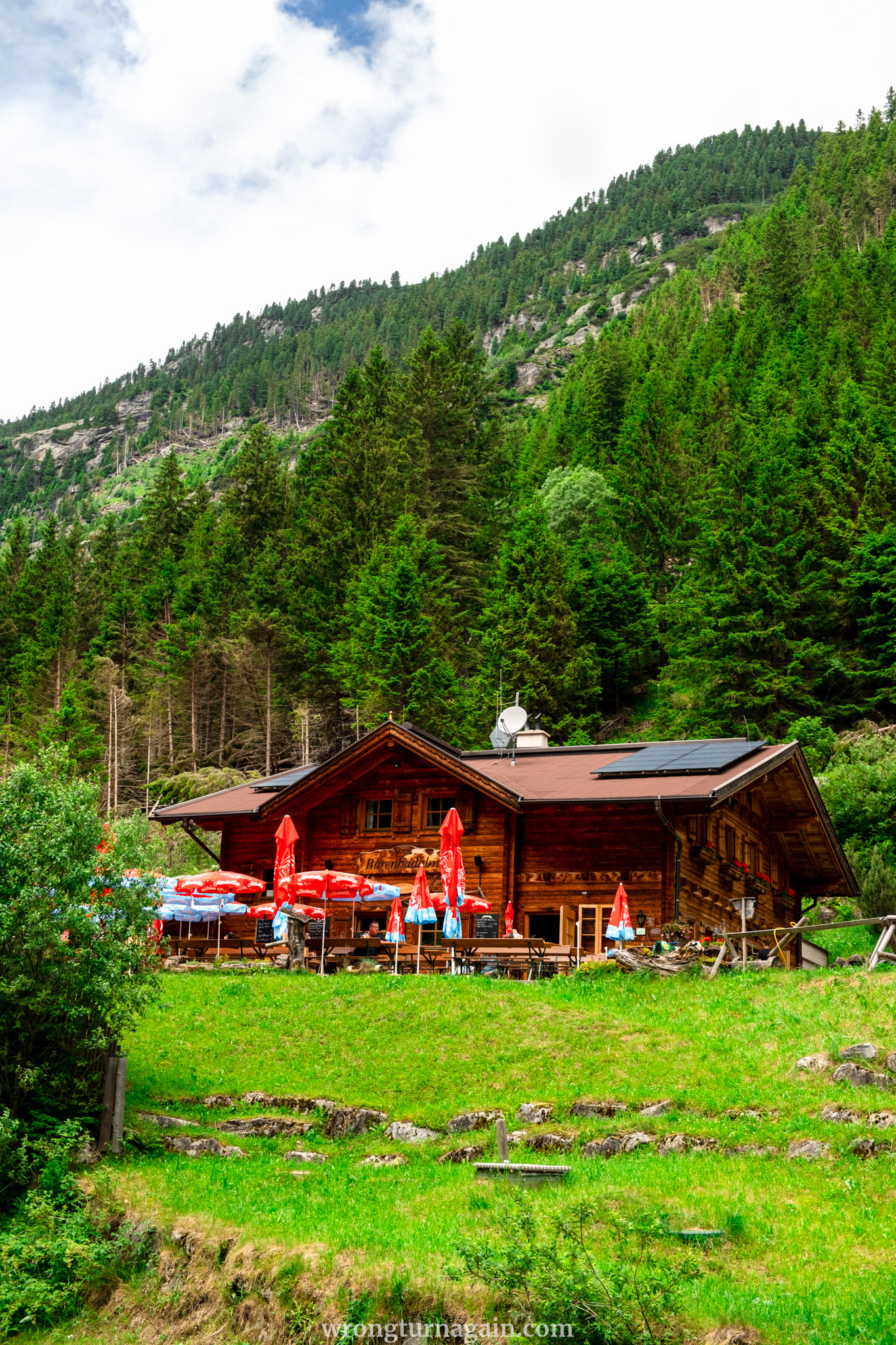
- Gasthaus Bärenbad im Zillertal: With its charming interior and inviting outdoor seating area, this restaurant is a great place to enjoy local specialties. Located right at the parking lot, it makes for a convenient spot at the end of your hike.

Where to Stay in Zillertal
Mayrhofen is the largest town in Zillertal, offering a range of accommodations from guesthouses to resorts. While it can feel touristy, it provides all the necessary amenities. Another option is Brandberg, located 5km from Mayrhofen, which offers a more relaxed atmosphere. Note that both places are located before the toll road entrance. Therefore, if you plan to visit the Zillergründl Valley on different days, you will need to pay the toll each time.


Accommodation in Mayrhofen: ZillergrundRock Luxury Mountain Resort, Gästehaus Hornegger, Der Siegeler B&B – In Brandberg: Apart Spitaler, Gasthof Thanner, Panoramablick Ferienwohnung Schiestl
So, if you plan to explore the Zillergründl side valley for more than a day, opt for staying at one of the guesthouses within it. Although accommodations are limited, they are charming and offer dining options. These include Der Klaushof, Schiestl’s Almstüberl, Urige Alm, Gasthaus Häusling Alm, and Bärenbadalm.
For longer hikes, consider overnighting at Plauerner Hütte and starting your adventure fresh the next day. The hut offers mattress dormitories, multi-bed rooms, and double rooms available for online booking. Note that prices are cheaper for members of the Alpenverein.

When to Visit the Zillergründl Speicher
To access the reservoir, you must cross the private road (Zillergrund Alpenstraße), which is closed during winter due to avalanche risks. The road typically opens from mid to late May and closes again from mid to late October, depending on snow conditions. Bus schedules (bus stop Staumauer) align with the road’s opening times and can be found here.

Another consideration is the opening times of the huts. Plauener Hütte operates from mid-June to mid-September, with current information available here. Hohenaualm opens from mid-May to early September, except for Mondays when it is closed.
Overall, mid-June to mid-September is the optimal period to visit when everything is fully operational. Keep in mind to avoid Mondays if you plan to visit the Hohenaualm.
Tyrol, Austria
Travel and Hiking Guides
MOUNTAIN LAKES
● Blaue Lacke Lake: from Grawa Waterfall and Sulzenauhütte
● Lake Gufelsee in the Lechtal Alps: from Hanauer Hütte
● Olpererhütte & Suspension Bridge in Zillertal
● Seebensee & Drachensee Lakes in Ehrwald
● Lake Salfeiner See & Grieskogel around Innsbruck
● Hirschebensee & Plenderlessee in Kühtai
GORGES
● Wolfsklamm Gorge near Innsbruck
● Tiefenbachklamm in Alpbachtal
● Kaiserklamm in Alpbachtal
● Rosengartenschlucht in Lechtal
VILLAGE TRAVEL GUIDES
● 9 Best Things to Do in Kramsach
● The Best Things To Do In Alpbach