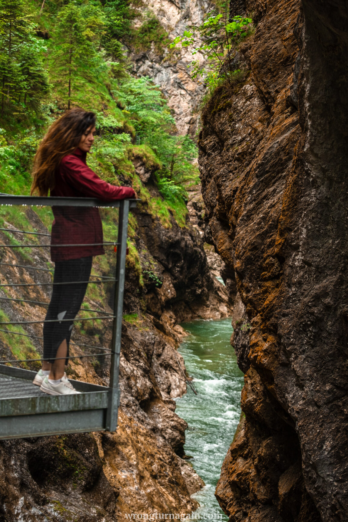
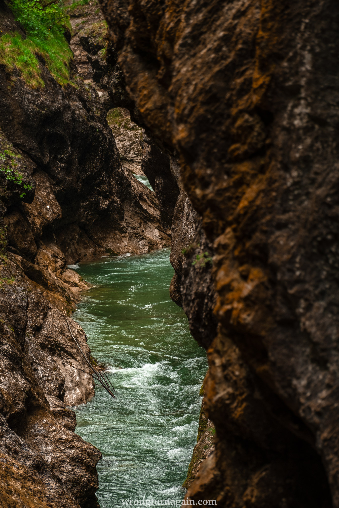
One of the most spectacular gorges in Alpbachtal, the Tiefenbachklamm is a narrow chasm carved by the cascading waters of the Brandenberger Ache River. Hike through ever-changing landscapes, from forest and riverside trails to narrow paths secured by wire ropes, encountering waterfalls and peculiar rock formations along the way. Upon reaching the viewing platform, ensconced amidst steep ravines with the frothing river below, prepare to be spellbound by nature’s splendor. Discover everything you need to know about hiking the Tiefenbach Gorge in Tyrol, Austria!
About the Tiefenbach Gorge
Tiefenbachklamm stands among the trio of breathtaking gorges in the Alpbachtal Region, alongside Kaiserklamm and Kundler Klamm, and is renowned as one of Tirol’s most stunning natural wonders. Nestled between Kramsach and Brandenberg, this gorge is sculpted by the meandering waters of the Ache River, a tributary of the Inn. Its name, “Deep Stream Gorge,” perfectly encapsulates its character.
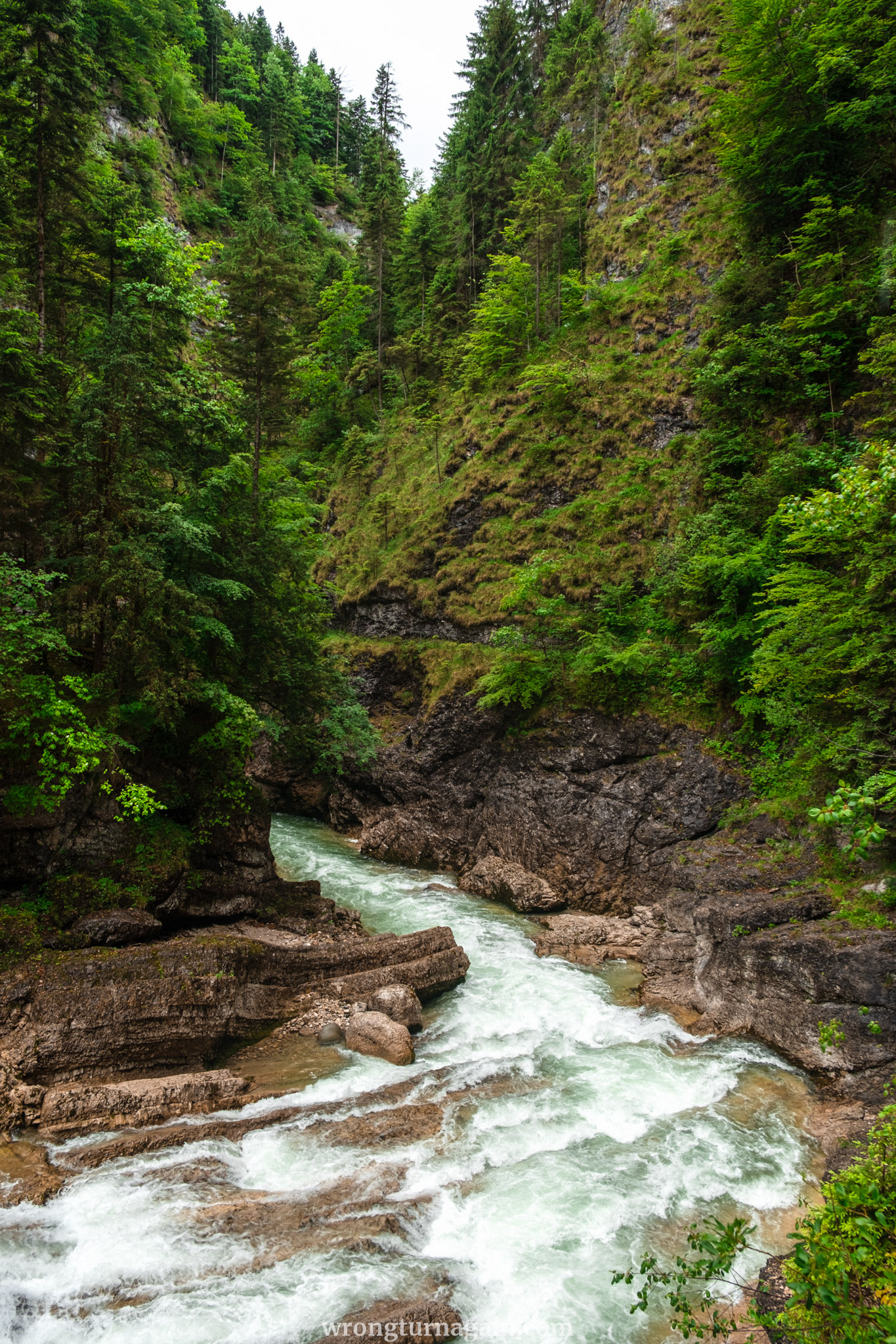
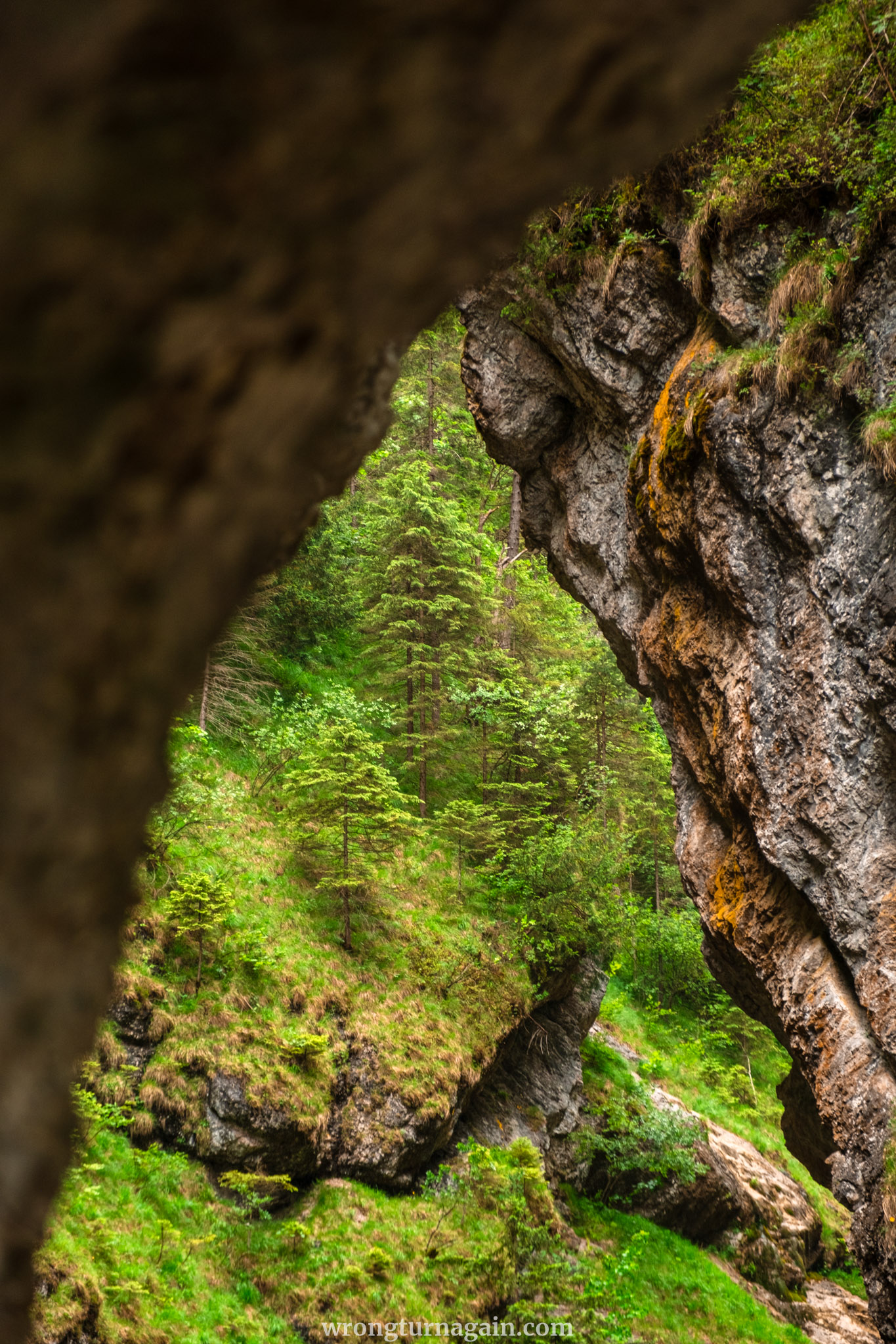
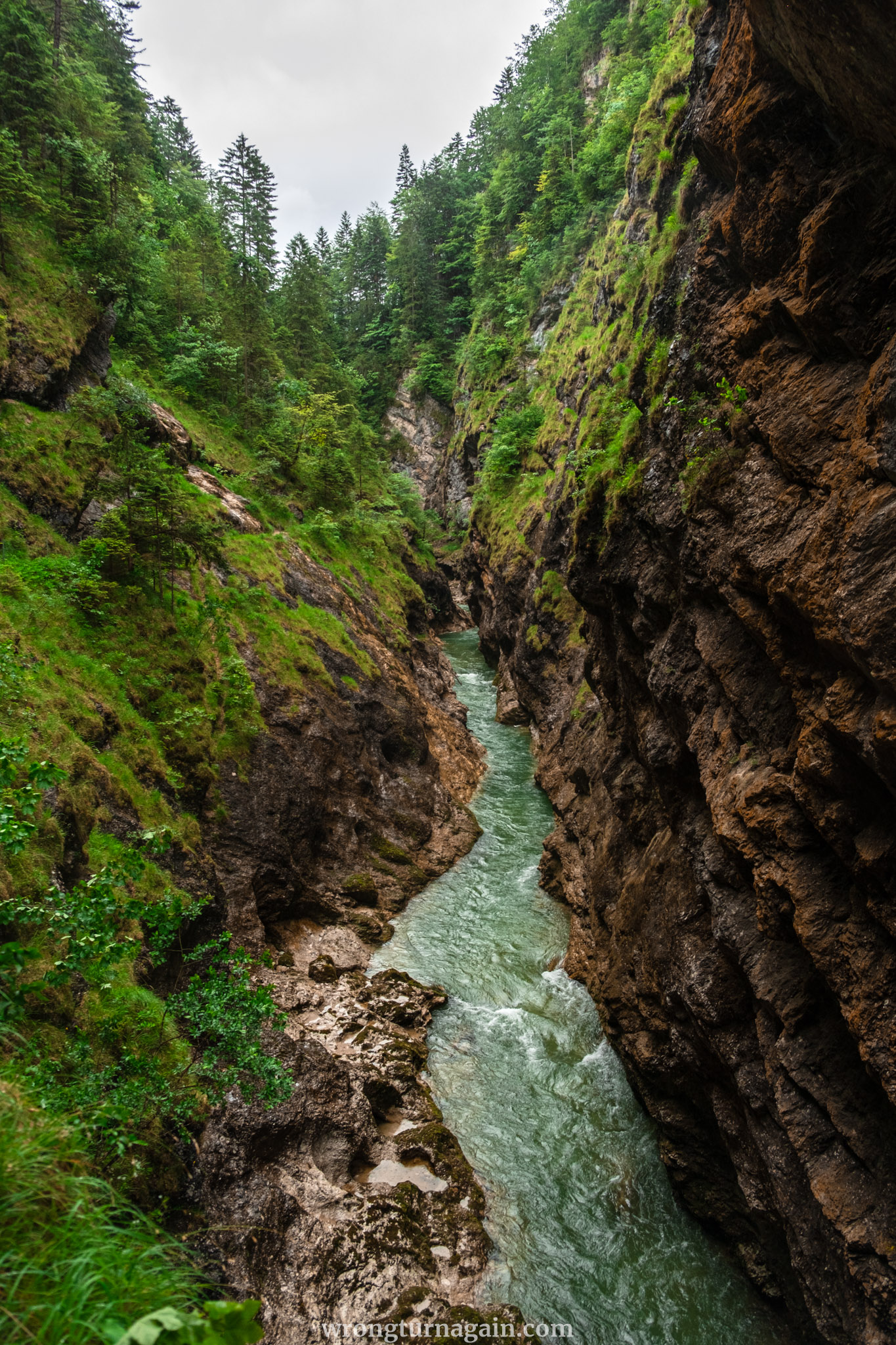
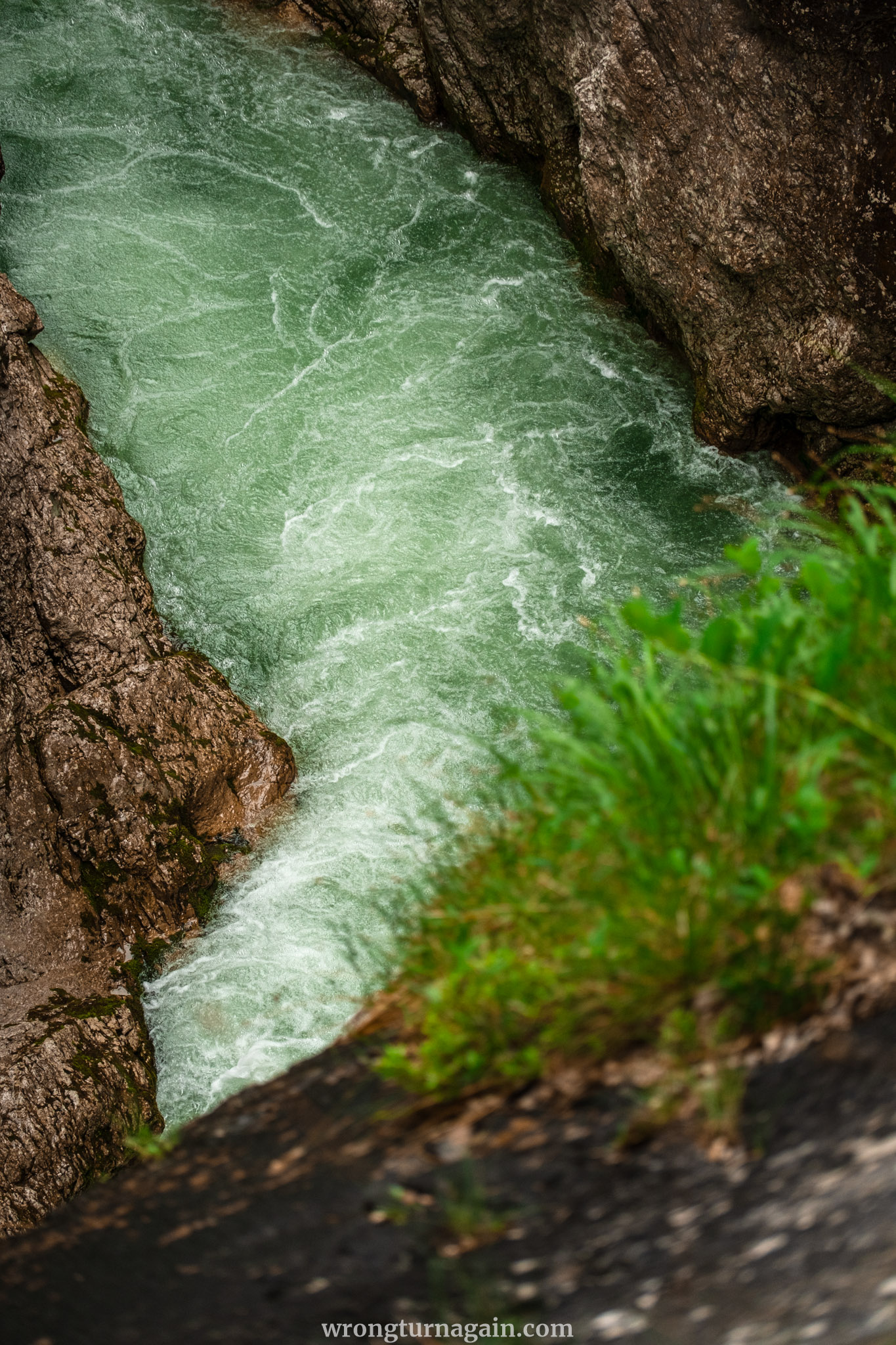
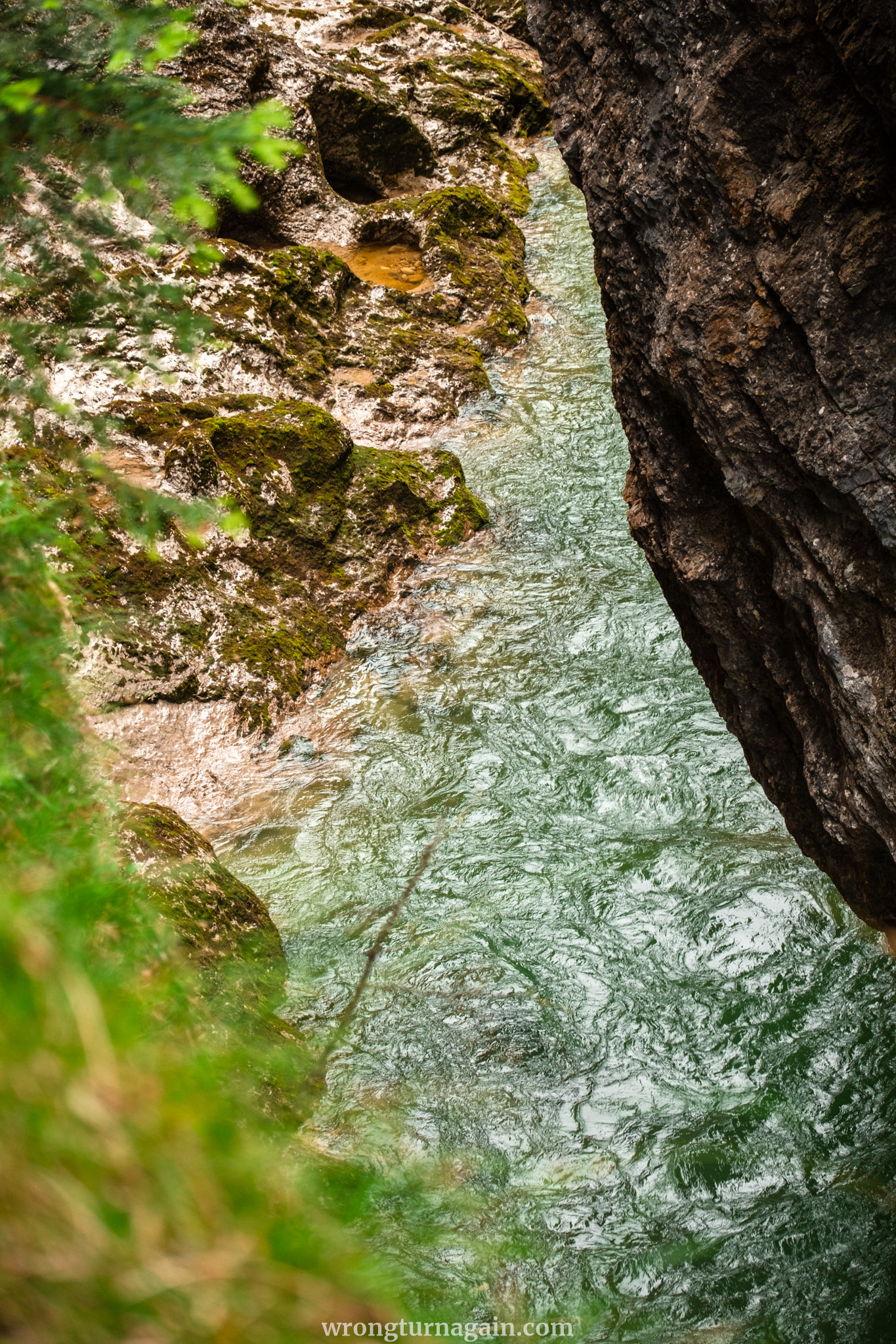
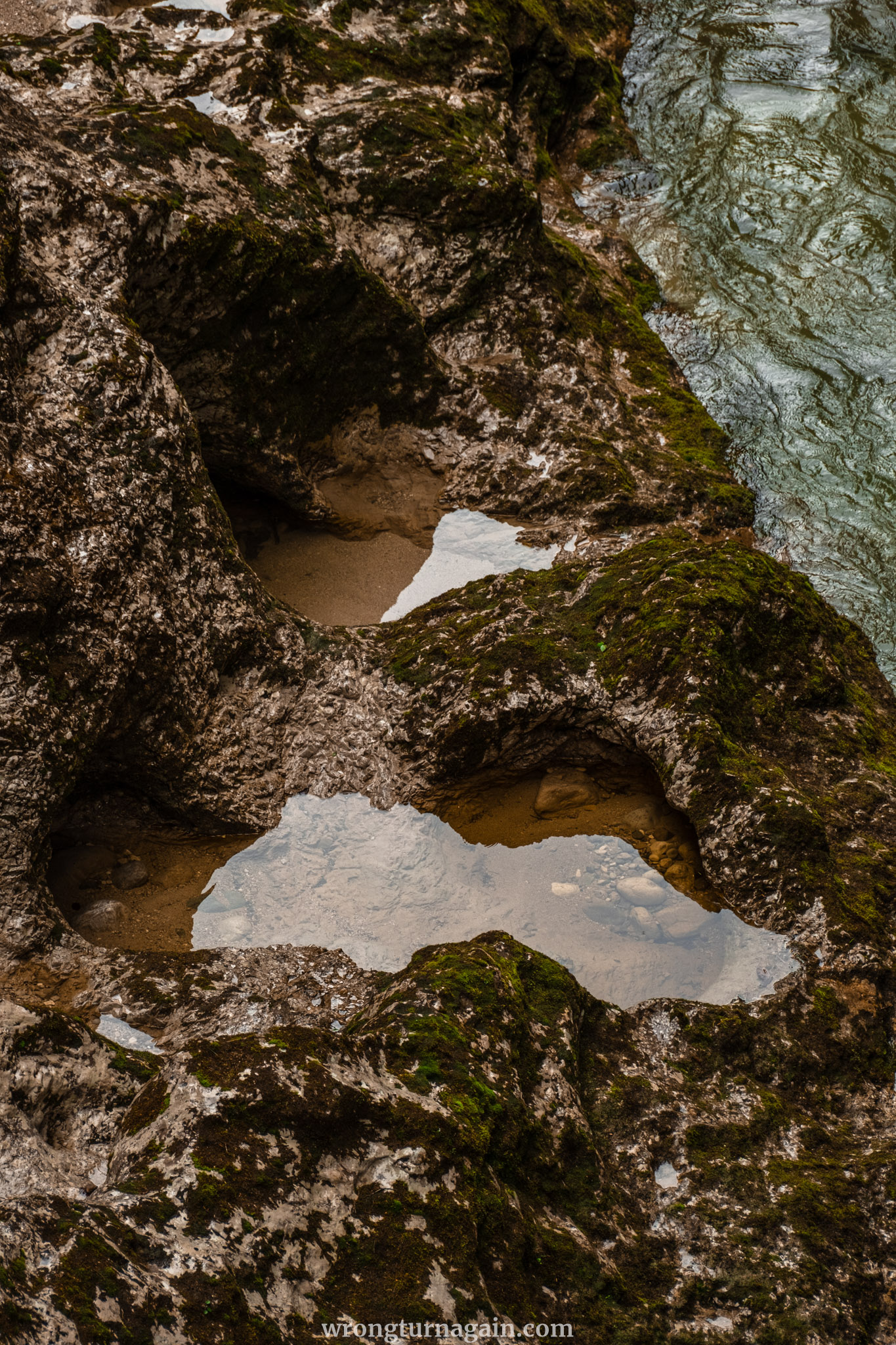
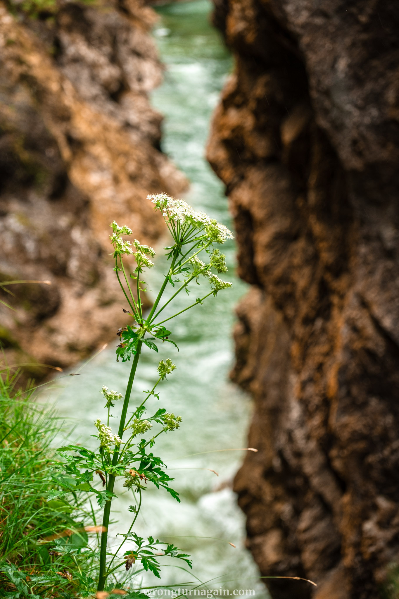
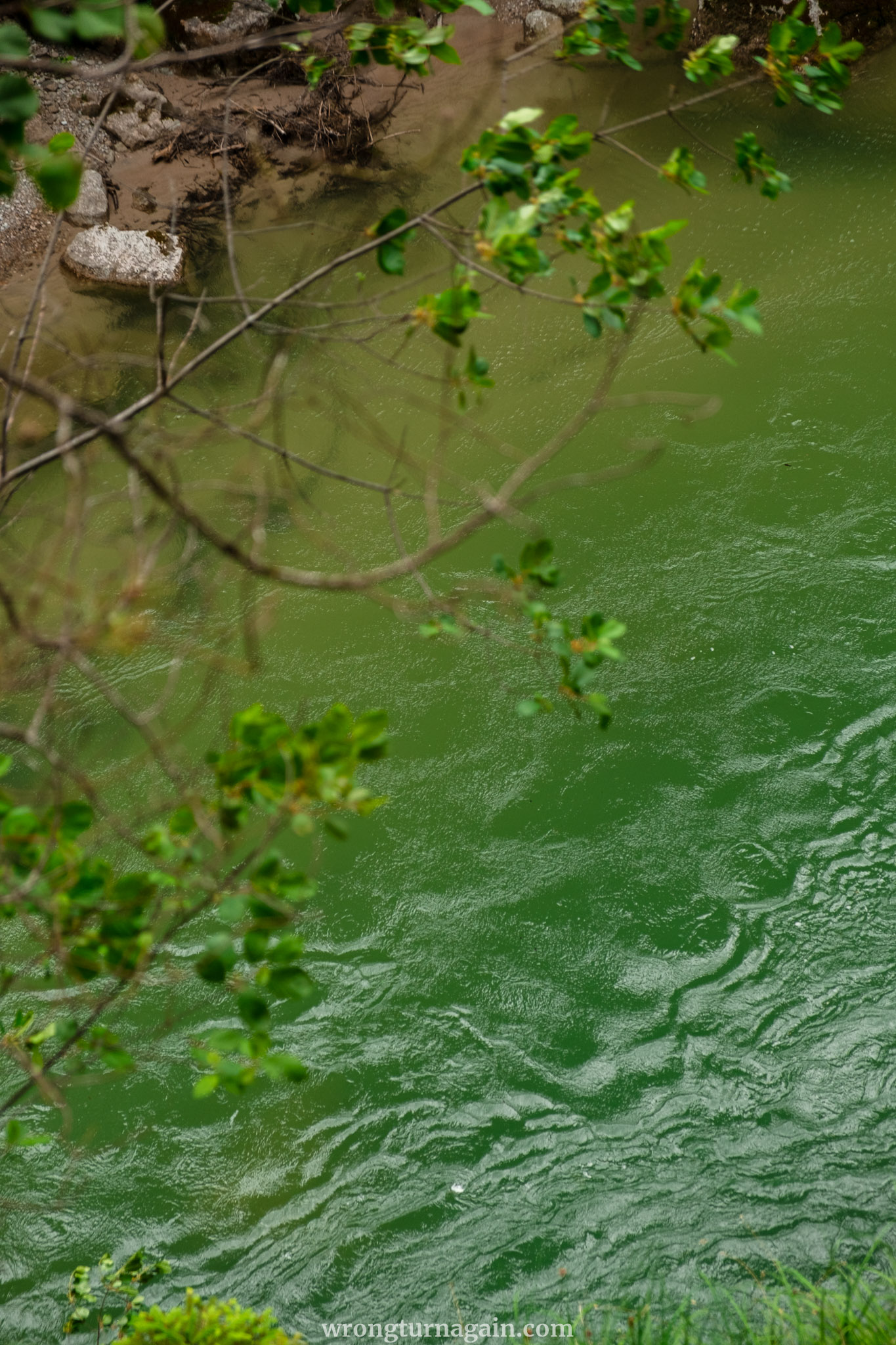
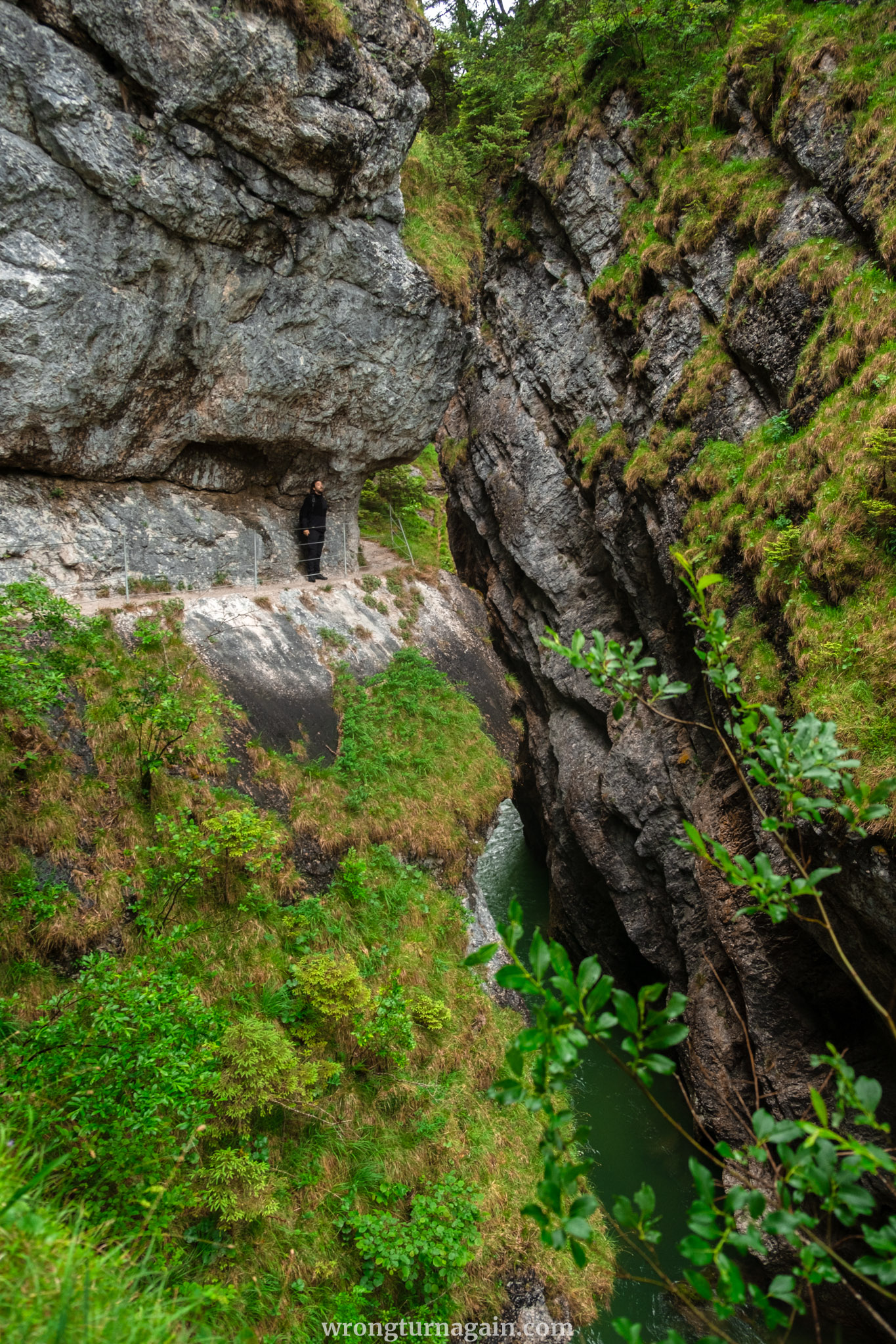
Here, nature’s artistry unfolds with dramatic rock formations and the imposing sound of water cascading down the rocky gorge. Yet, it’s the vibrant colors that steal the spotlight: from dark and weathered rocks to lush foliage bursting with life, and the mesmerizing hues of swirling waters—spanning from milky aquamarine over pale limestone to deep emerald green in the deeper sections.
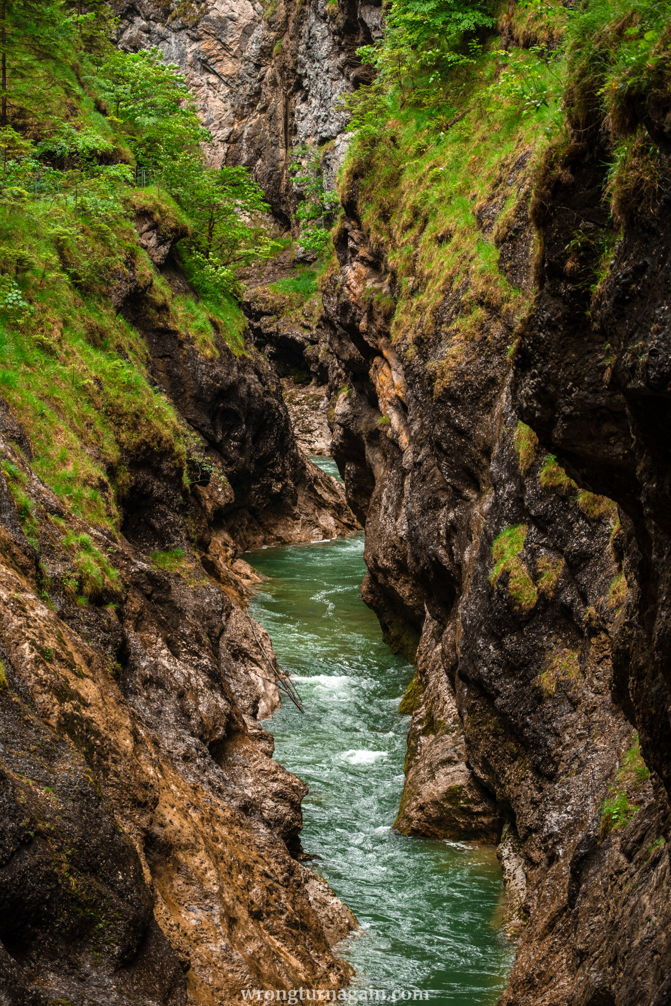
Today, the rapids of the Tiefenbachklamm provide an adrenaline rush for white-water rafters. However, until 1966, the roaring river served a different purpose: log transportation. In the absence of suitable roads through the rugged terrain, massive quantities of logs and tree trunks were sent down the wild waters of the Ache River and collected at its widest point downstream. The earliest records of this logging activity date back to 1412!

Tip: Want to learn how these mighty logs were transported in the past? Visit the Museum of Tyrolean Farms in Kramsach, Tyrol’s largest open-air museum, where you can discover all about the Brandenberg timber drift!

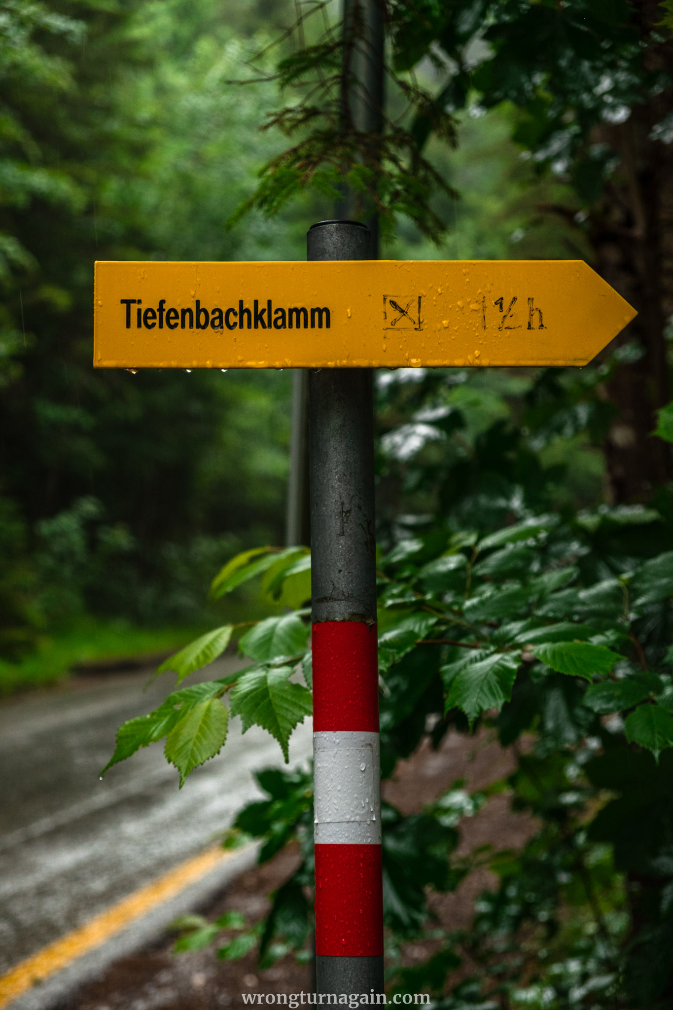
Hike Overview
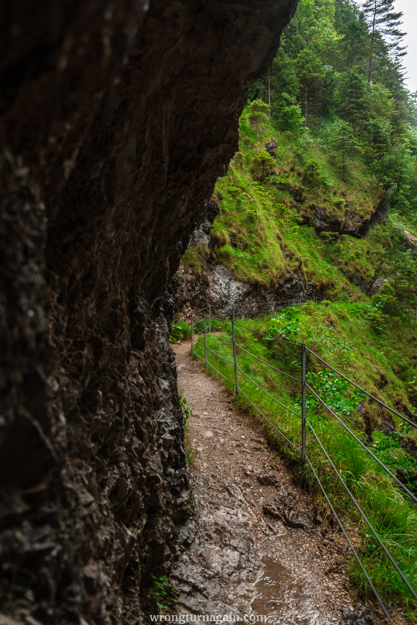
The official trail to the gorge follows an out-and-back route, leading you from the entrance to the gorge and back along the same path. Initially, it winds along the left side of the stream through the forest until the valley noticeably narrows. Here, the path transitions into a rope-secured trail leading to the viewing platform. Beyond this point, the trail widens, guiding you over bridges to a picturesque waterfall and finally to a serene meadow, where it concludes.
Note: This hike is very easy, but it’s important to note that the terrain occasionally presents muddy inclines and slippery tree roots, necessitating sturdy walking shoes.
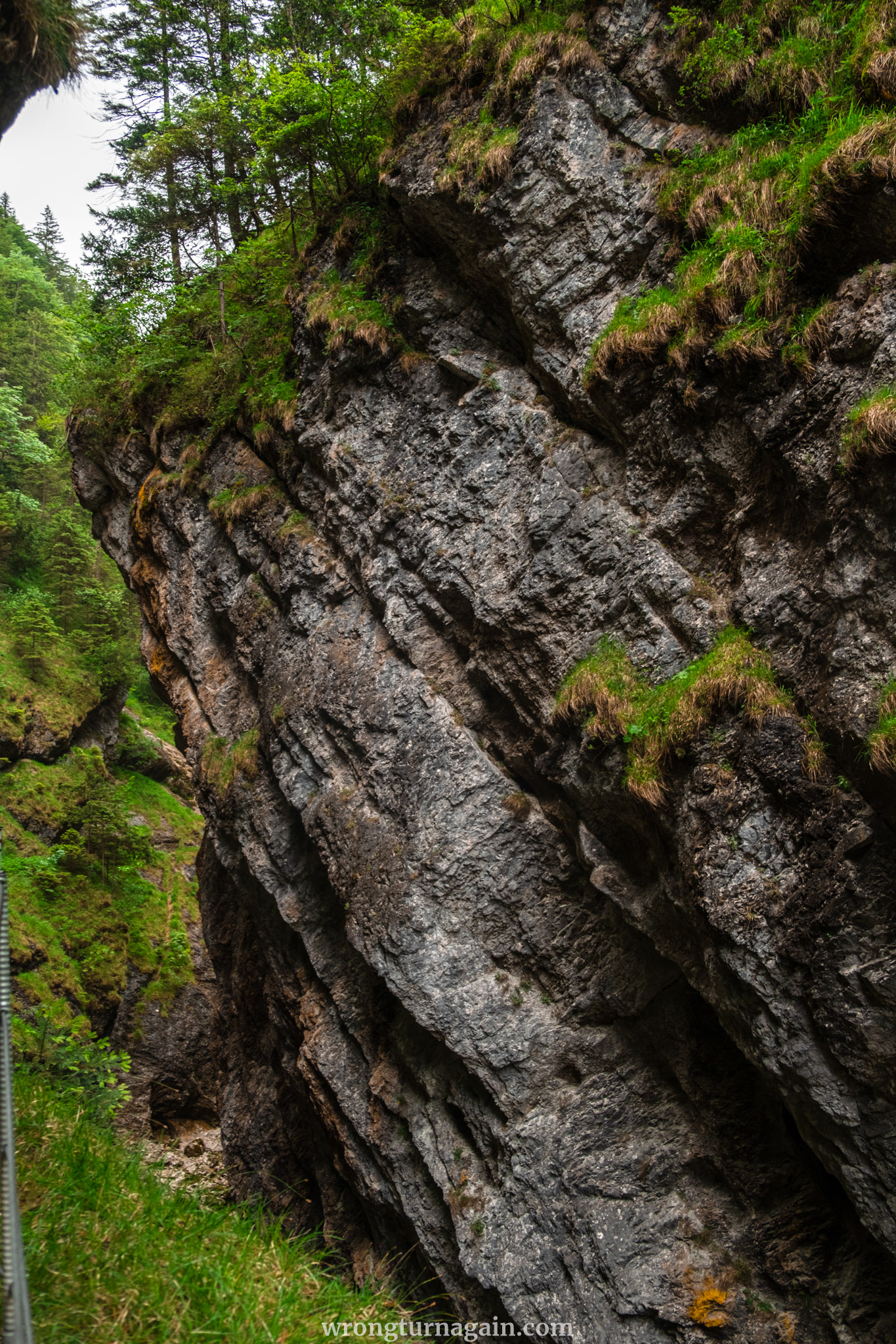

Entry to the gorge is free of charge!
While most hikers opt for the traditional in-and-out trail, there are also paths extending before and after the gorge, allowing you to customize the length of your hike according to your preference. Instead of prescribing specific routes, we’ve divided the sections, empowering you to craft your own adventure! Nevertheless, we’ve included some suggested routes in the next section for your convenience.

The Sections of the Hike to the Tiefenbachklamm
| Section I – Kramsach Bridge to Gorge Entrance |
Embark on your journey from the quaint Brandenberger Ache Brücke, a charming wooden bridge nestled in Kramsach. Should you solely seek the gorge experience, feel free to bypass this section. Depending on your mode of travel, here are your options:
- By Car: Parking spaces are scarce, but you can try your luck either just before the bridge or adjacent to the Gasthaus Mariathal (300m away). Alternatively, opt for ample parking at the defunct Sonnwendjochbergbahn, a mere 500m walk to the Fußgängerbrücke. Cross this wooden bridge adorned with a stone entrance and exit to reach the opposite side of the river, near Gasthaus Mariathal.

- By Bus: Disembark at either the Kramsach Abzw Mariatal stop and stroll 1km along the riverside road or at the Sonnwendjochbahn stop and follow the aforementioned route over the Fußgängerbrücke.
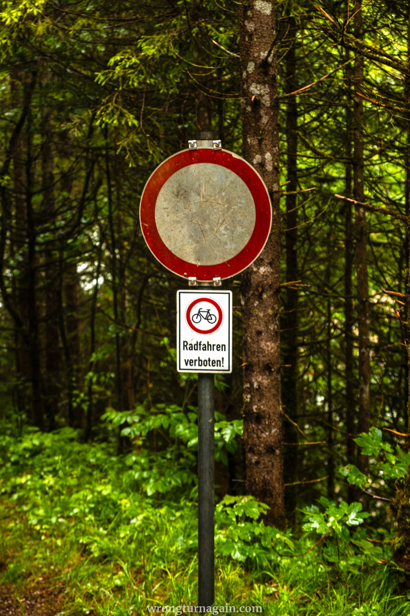
Upon crossing the Brandenberger Ache Brücke and venturing onto Wittberg Road, you’ll encounter a Y junction to your right. Here, veer left onto a forest path, running parallel to Wittberg Road, which culminates at a parking lot right at the entrance to the Tiefenbach Gorge.
| Section II – Gorge Entrance to Jausenstation Tiefenbachklamm |
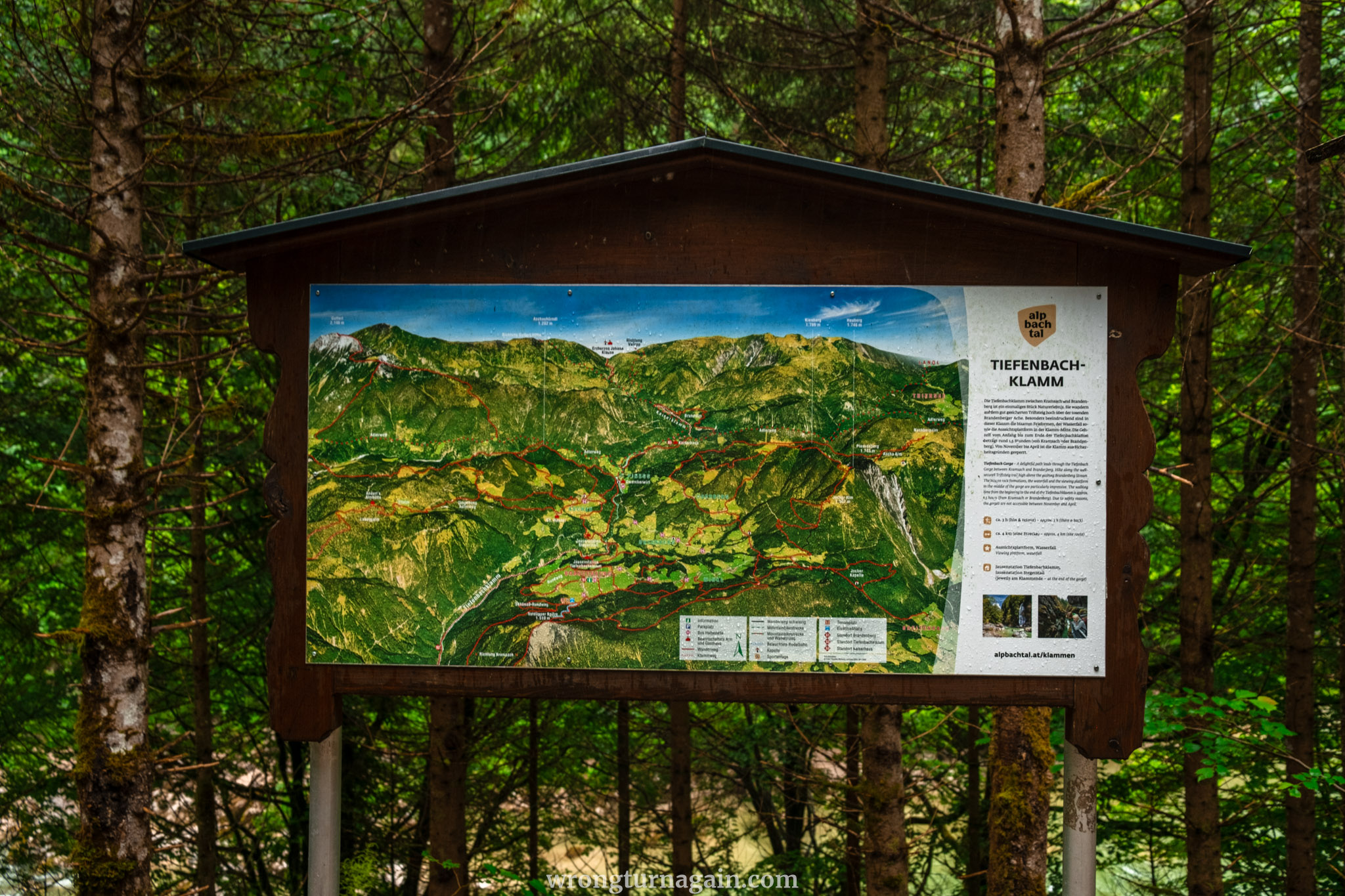
This section of the trail traverses the gorge and is the only path you need to follow to experience Tiefenbachklamm. You can reach this point by following Section I, or via car or Bus #611 (stop Tiefenbachklamm). Your hike begins just to the right of the parking lot, precisely where the bus drops you off. A large information board marks the trailhead.
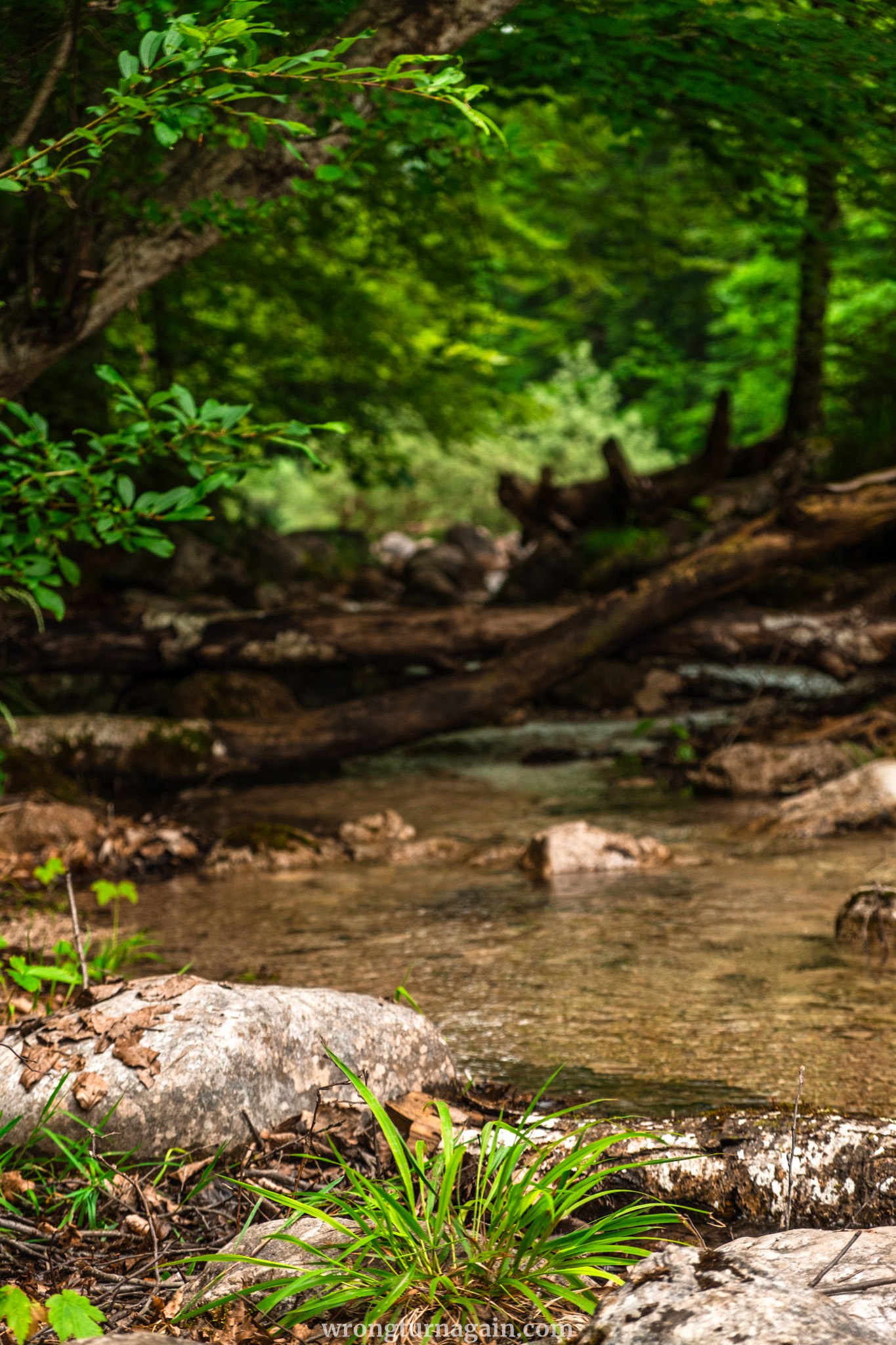
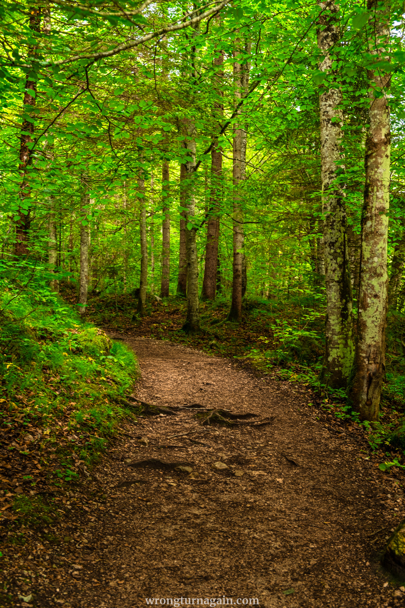
Into the Forest: The trail starts with a short downhill walk, leading you to a pebble beach. Follow the path alongside the river, accompanied by the soothing sound of rushing water, and continue on the dense forest path that gradually ascends.
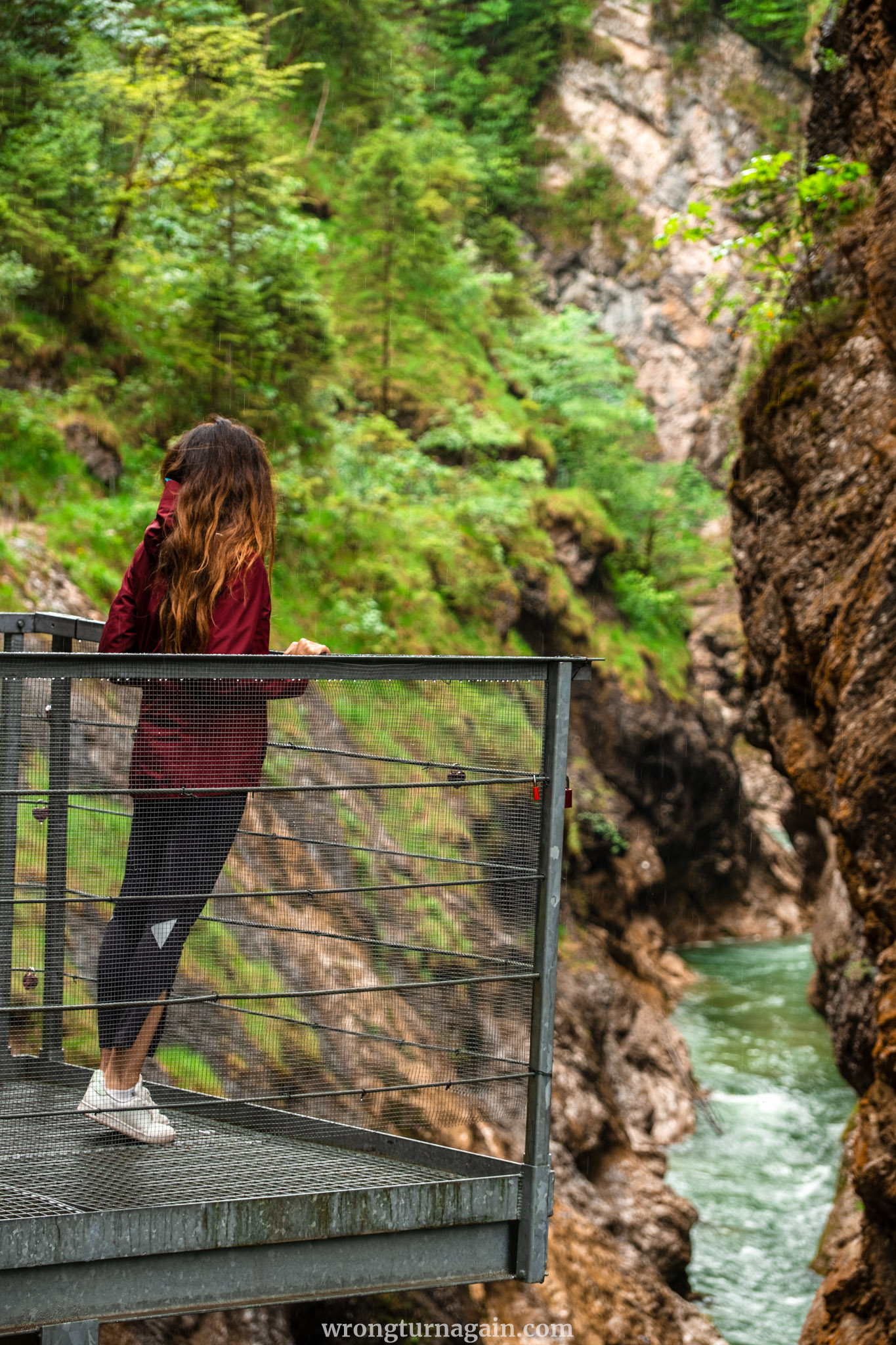
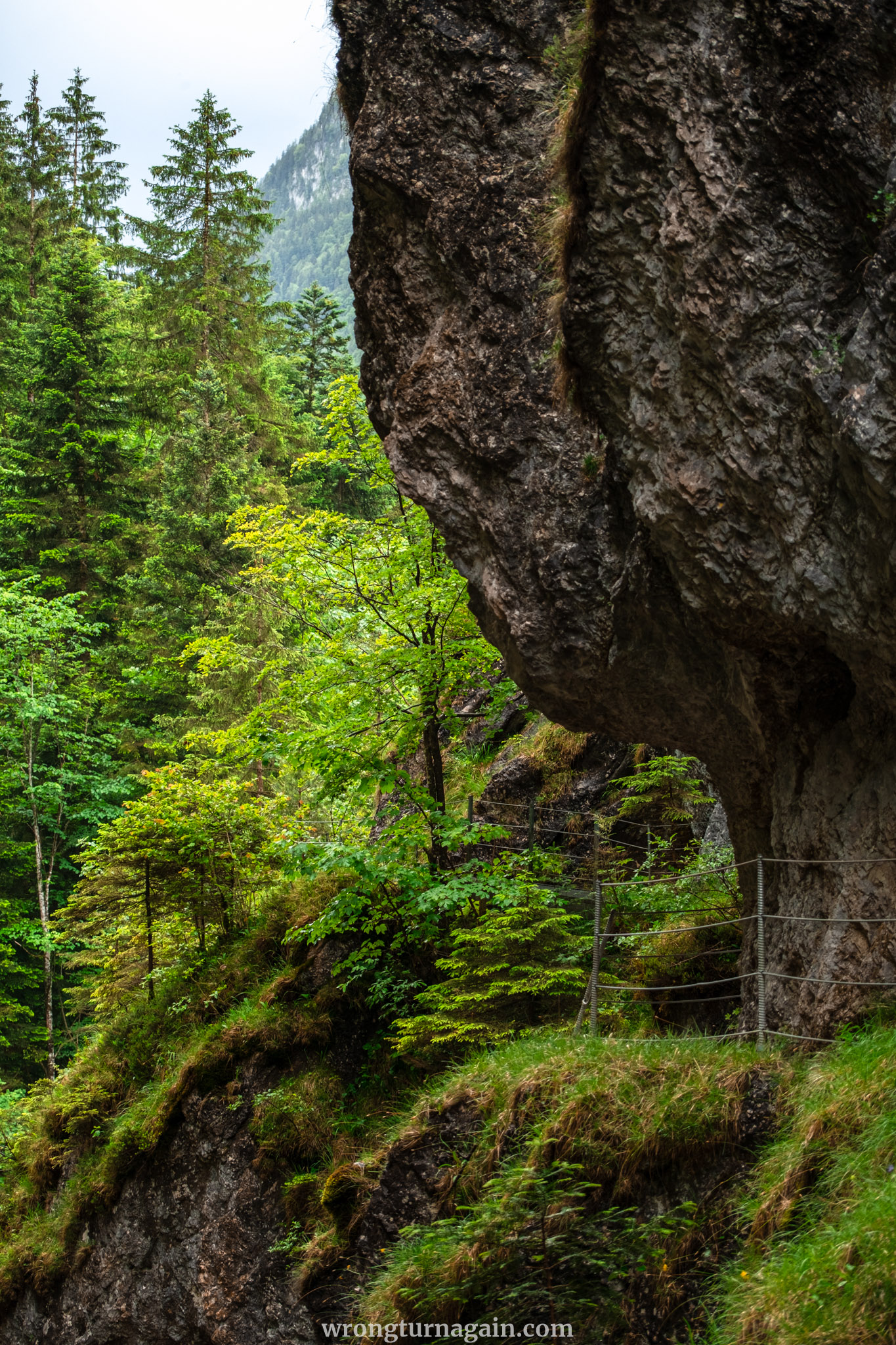
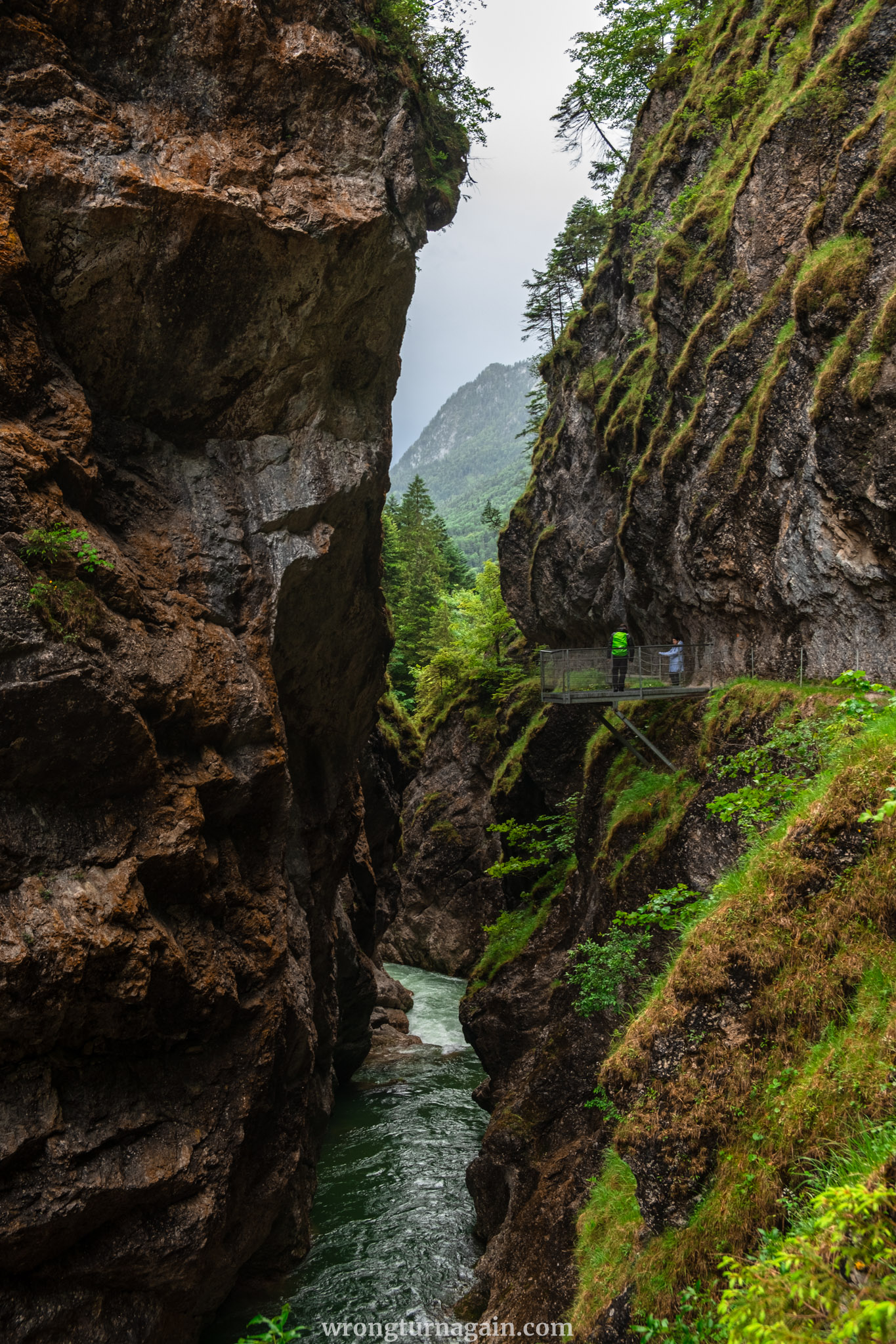
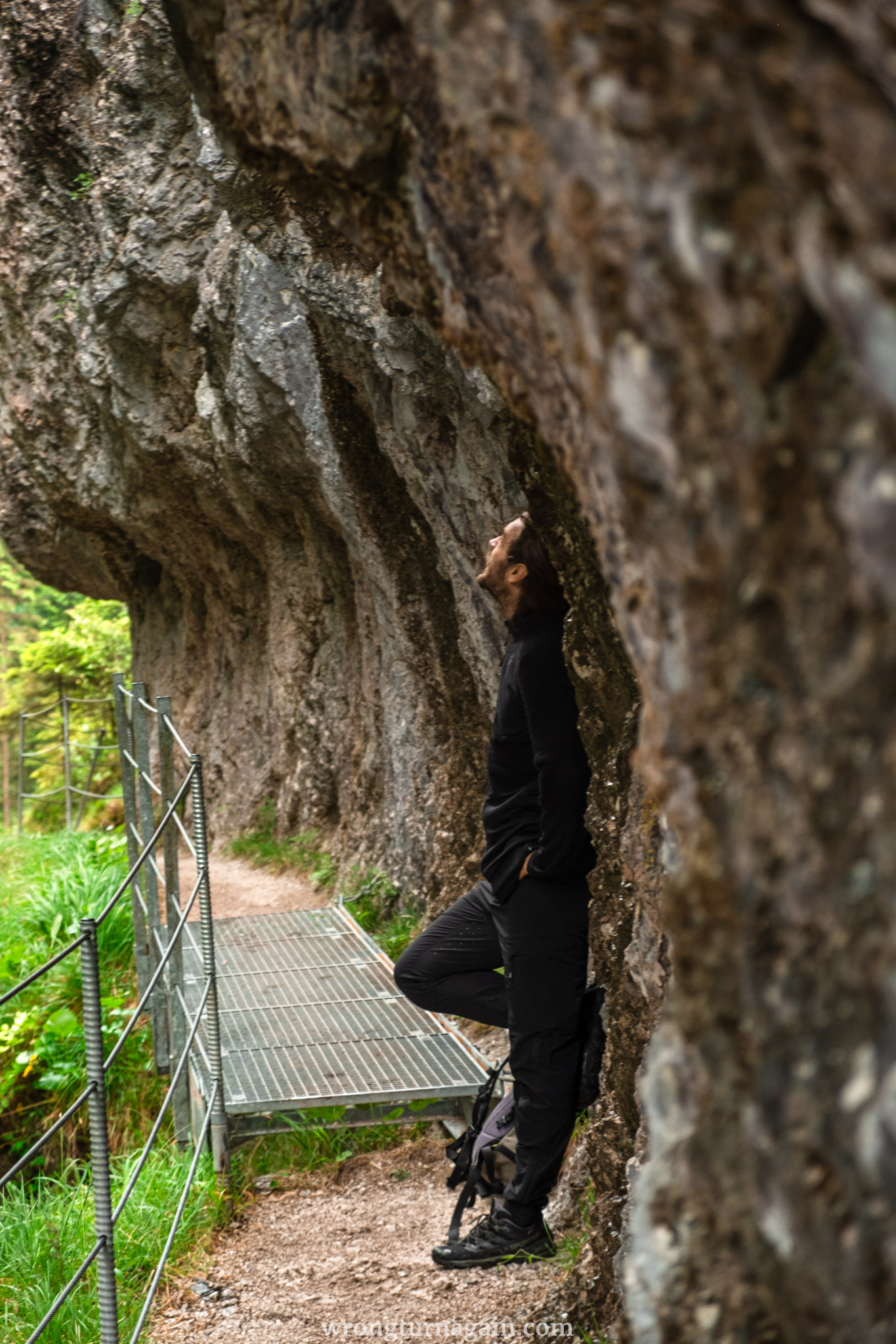
To the Viewing Platform: Shortly after, you will reach the Triftsteig, a trail secured with wire rope safety barriers. Here, the path narrows significantly, bordered by a rock wall on your left with water trickling down, making it wet and slippery in places. The narrow trail continues until you reach the viewing platform at the highest point of the gorge, approximately 1.5 km from the start. The views from here are simply breathtaking!
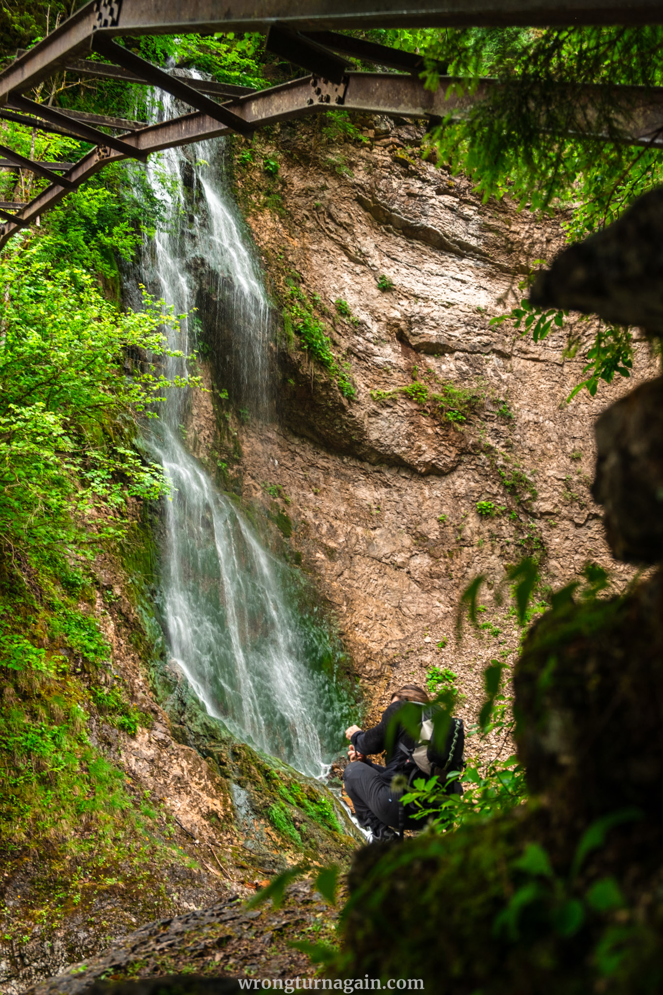
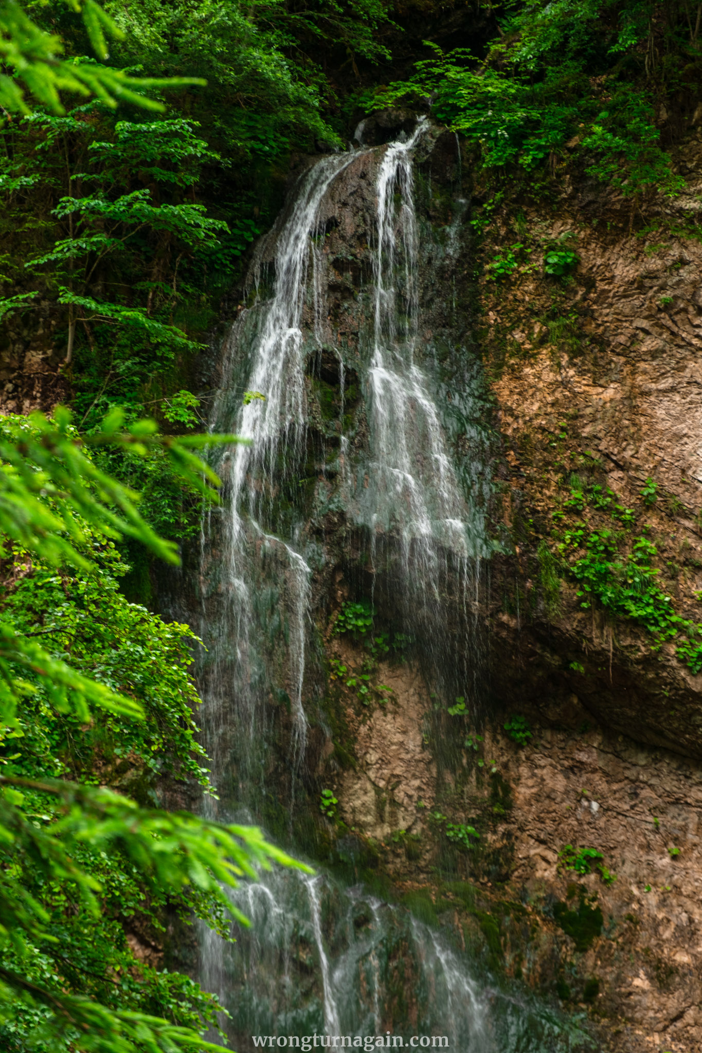
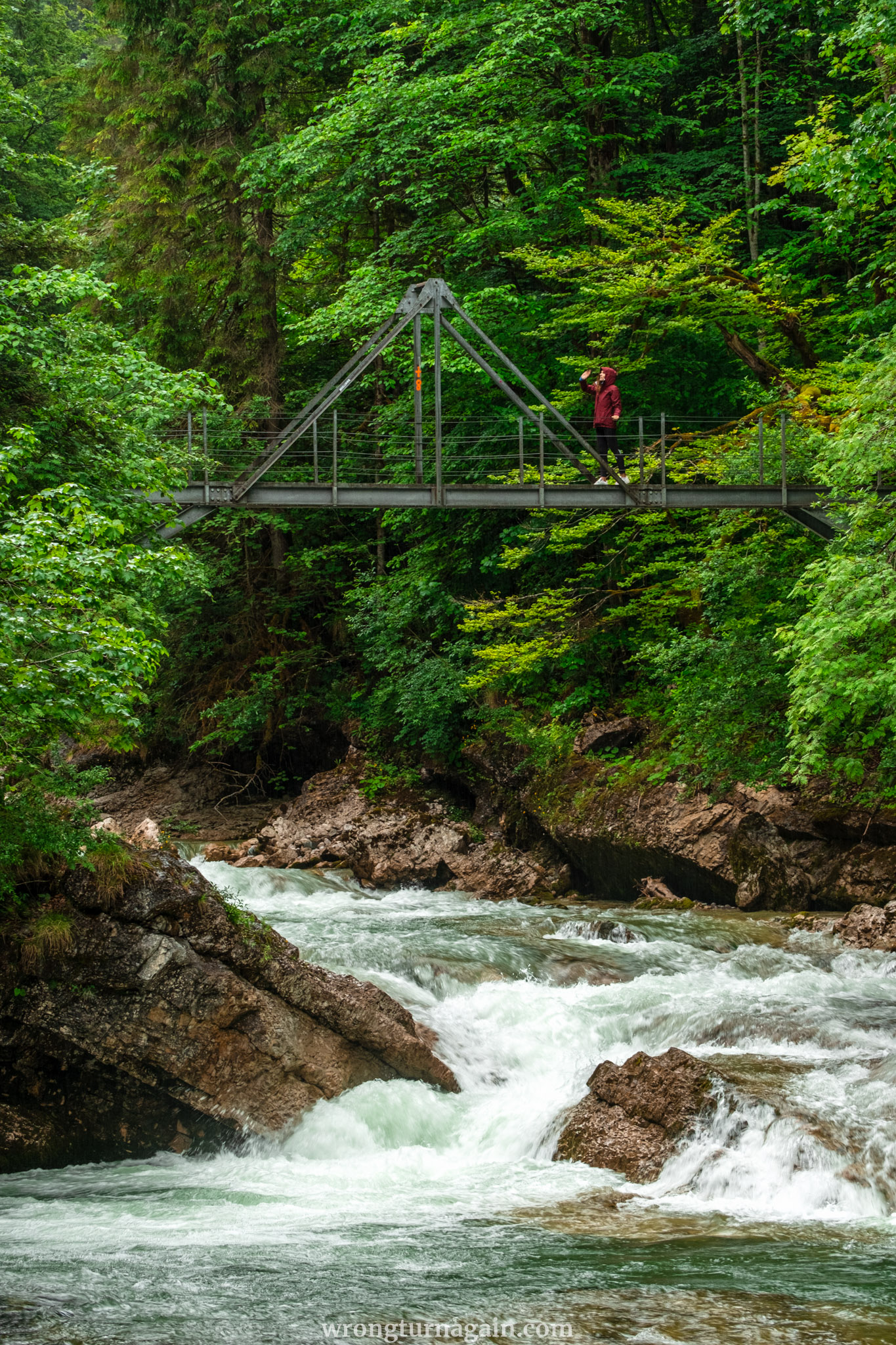
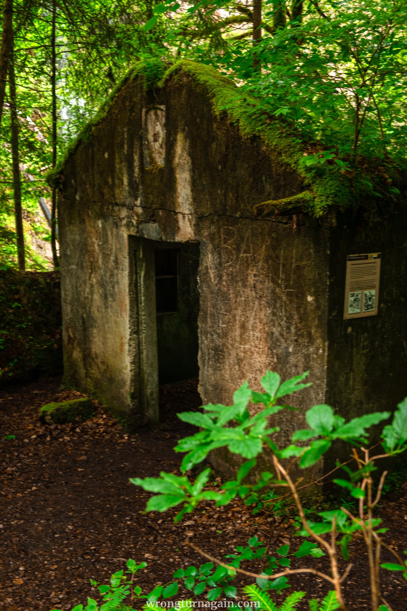
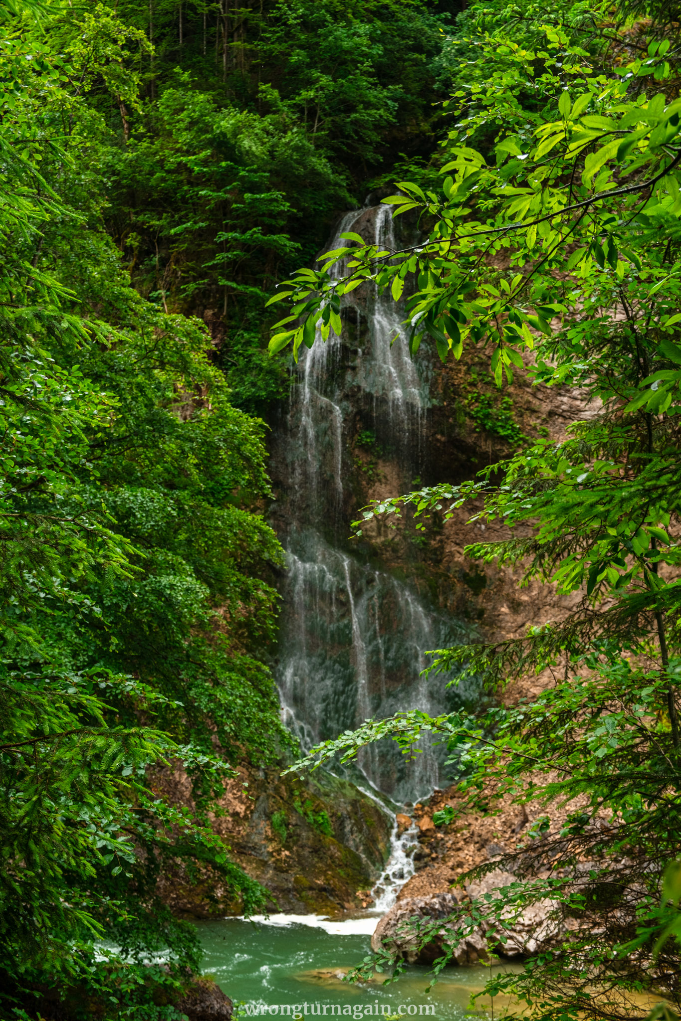
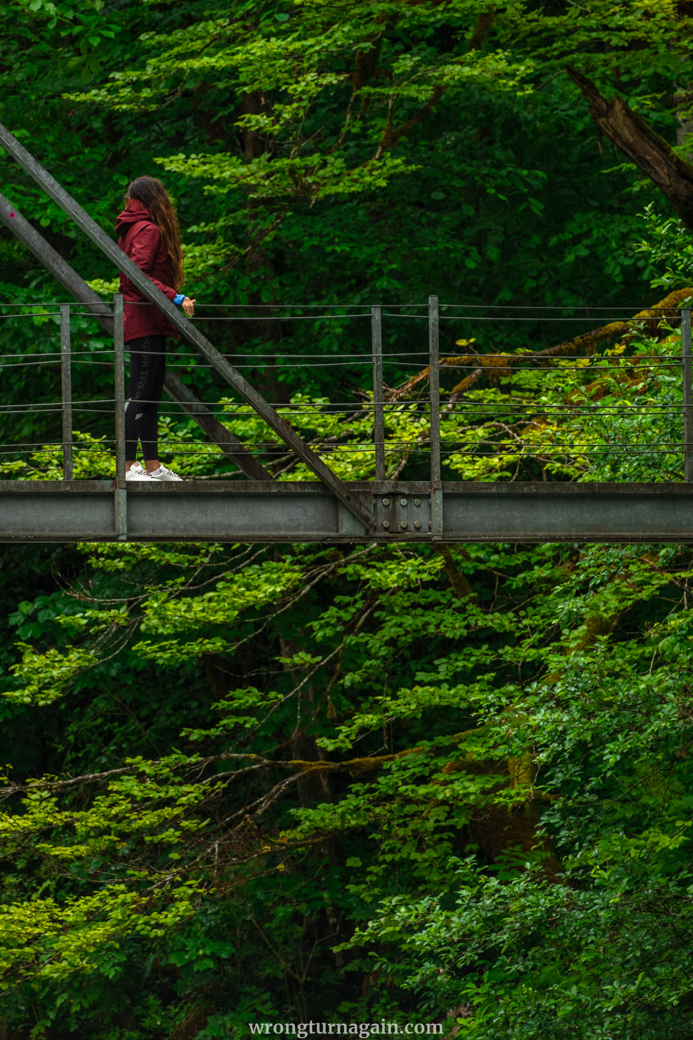
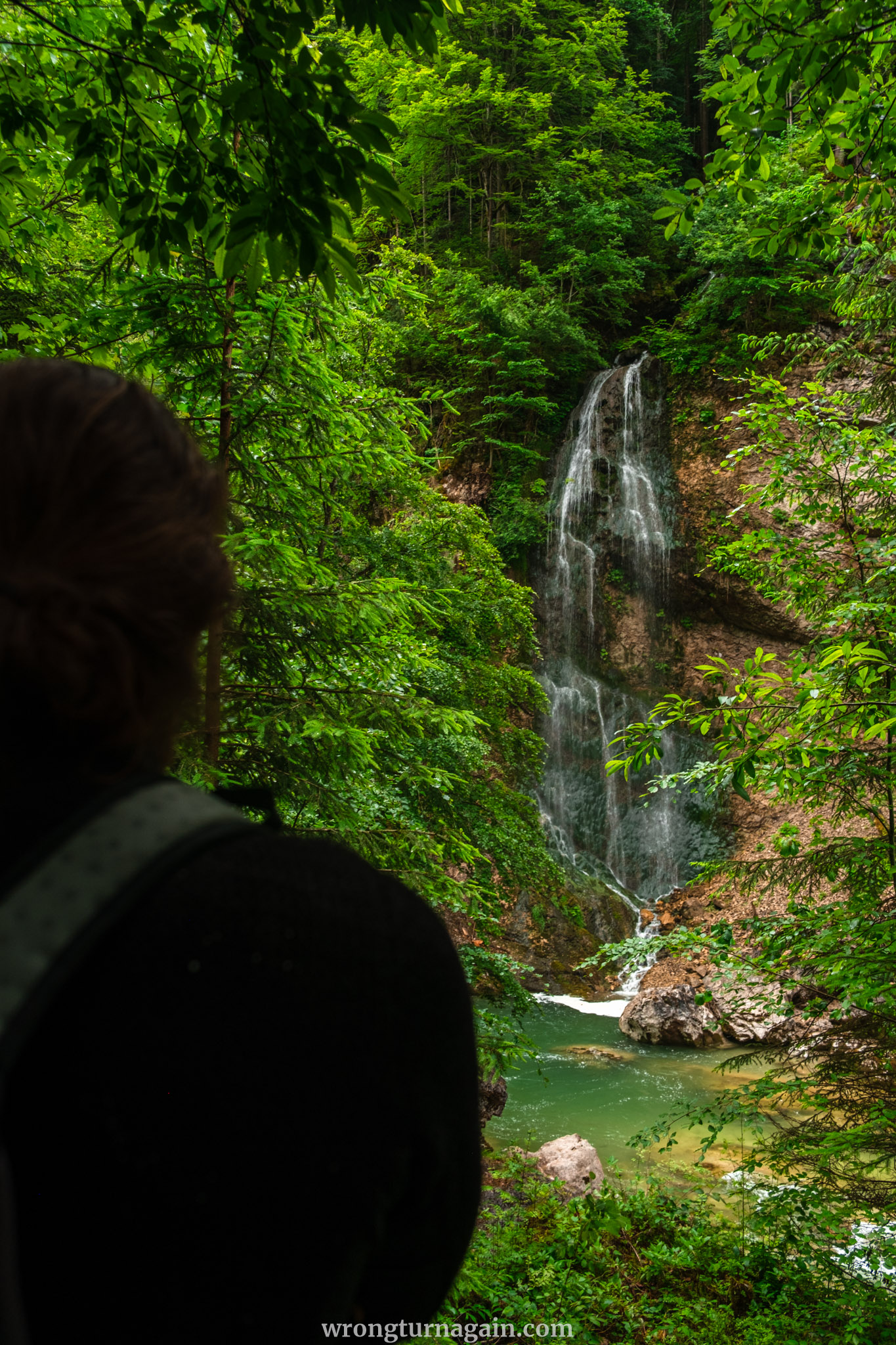
To the Waterfall: After leaving the viewing platform and crossing a couple of steel bridges, you will come across a charming waterfall. Nearby is an abandoned building, once part of a hydroelectric power plant dating back to 1928. An information board provides a brief history of wood drifting in the region. Take some time to sit and marvel at the waterfall, observe kayakers navigate the Ache, and imagine the logs transported down these wild waters up until about 60 years ago.
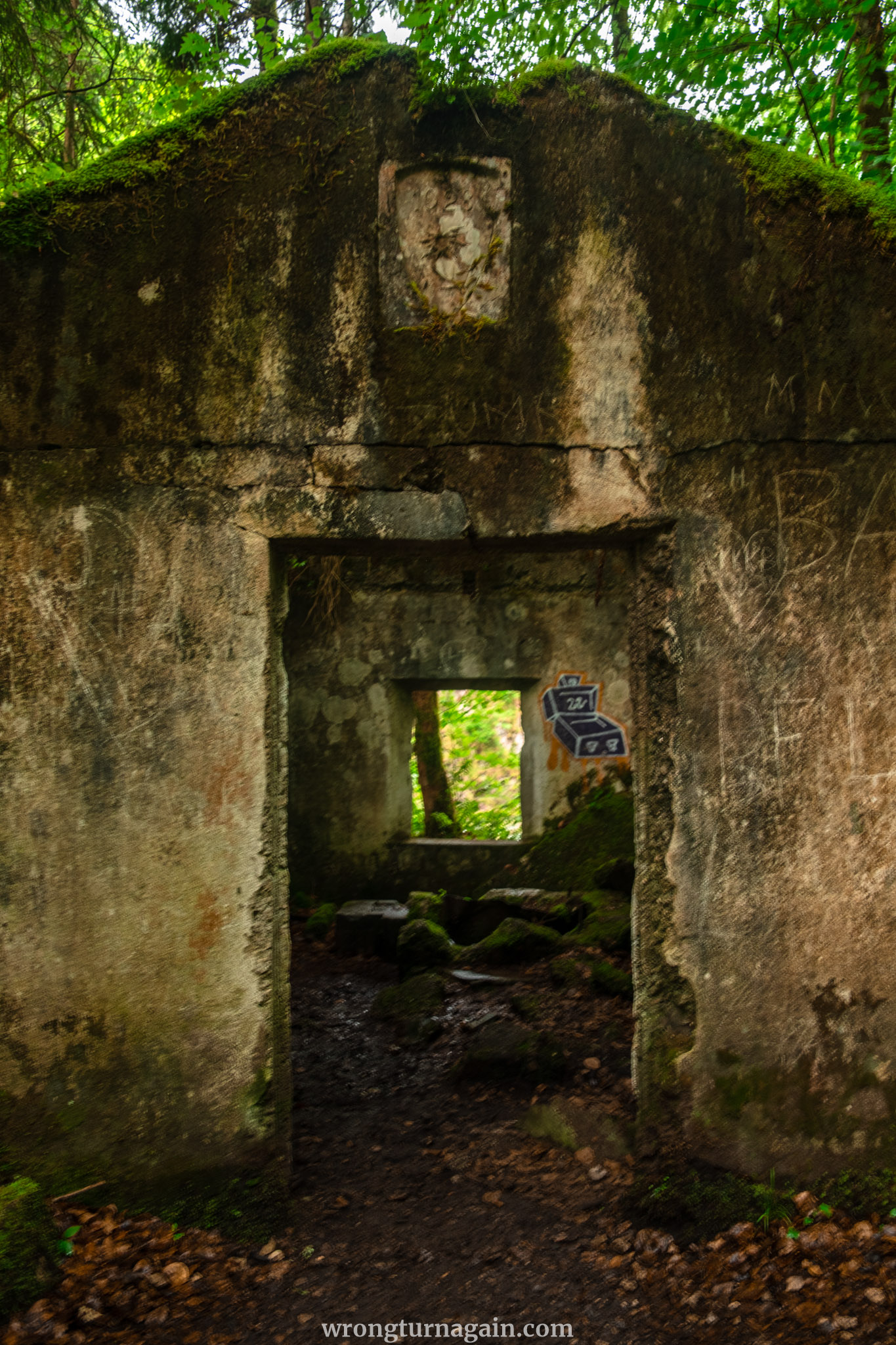
To the End of the Trail: The third and largest steel bridge is just ahead, and you will cross it in a few minutes. The valley suddenly opens up, leading you to a meadow where Jausenstation Tiefenbachklamm is located, marking the end of your trail.
| Section III – Jausenstation Tiefenbachklamm to Brandenberg |
If you choose not to retrace your steps back to the gorge entrance, head right from Jausenstation Tiefenbachklamm along the narrow tarmacked road leading uphill towards Brandenberg. After about 20 minutes (approximately 1 km), you’ll reach a junction. Here, turn right onto the road that ascends gently.
As you pass some farms, follow the small forest path that continues uphill for another 20 minutes. This will lead you to the farms at the hamlet of Markstein, just before Brandenberg.
If you plan to catch the bus back to Kramsach, turn left onto the road and continue straight until you see the church’s spire, which will soon become visible. The bus stop is located right next to the church, and it will take about 10 minutes to reach it.
| Section IV – Brandenberg to Kramsach |
If you prefer to return to Kramsach on foot, head right instead of left at the hamlet of Markstein. After a few minutes, you will reach the former overland road (Alter Landweg) from Markstein to Audörfl. Follow the “Achenmarsch” signs to Kramsach.
When you reach the main road (Brandenberger Landstraße), cross it and turn left onto the “Alten Steig” after about 100 meters. Continue for approximately 3 km (1 hour) until you reach a fork in the road; here, take the upper path.
After a further 2 km (45 minutes), you will arrive at a plateau above Lake Frauen (Frauensee). Turn right and follow the meadow path to the Mariathal Basilica, leading you to the Kramsach village center.

Tiefenbachklamm Hiking Routes
Familiarizing yourself with each available section of the hike allows you to craft your own route. As an overview, the main hiking trail through the gorge is detailed in Section II, and we recommend this route for both your hike to the gorge and your return trip.
However, if you’re up for a longer adventure, you can extend your hike by starting at the village of Kramsach (Section I), ending at the village of Brandenberg (Section III), or looping back to Kramsach (Section IV). Completing the entire route (Sections I-IV) is known as the Achenmarsch, translating to the “march along the Ache River.”
Here are some popular routes, listed from our most to least recommended:
(1) Tiefenbach Entrance & Same Way Back – Section II only (map, 7km, 2h 30min, +130m):
This is our top recommendation, as it covers the most scenic part of the hike. It’s ideal if you arrive by car, allowing you to return easily to the trailhead.
(2) Tiefenbach Entrance to Brandenberg – Sections II+III (map, 6km, 3h, +400m):
Perfect for those traveling by bus who prefer not to retrace their steps. This option provides a diverse scenery and a fresh path throughout the hike.

(3) Loop from Kramsach – Sections I+II+III+IV aka Achenmarsch (map, 16km, 5h 30min, +950m):
This comprehensive loop starts in Kramsach, goes through the Tiefenbach Gorge, down to Brandenberg, and back to Kramsach on foot, showcasing the full beauty of the Ache River trail.
(4) Loop from Jausenstation Stegerstall (map, 10km, 3h, +260m):
Begin at the Jausenstation Stegerstall, hike to the Jausenstation Tiefenbachklamm, and proceed through the gorge (Section II in reverse). Exit at the gorge’s entrance and follow the main road back to Stegerstall.
Note: We do not recommend this route as half of the hike is on an inclined asphalt road.

How to Get to the Tiefenbachklamm Trailhead
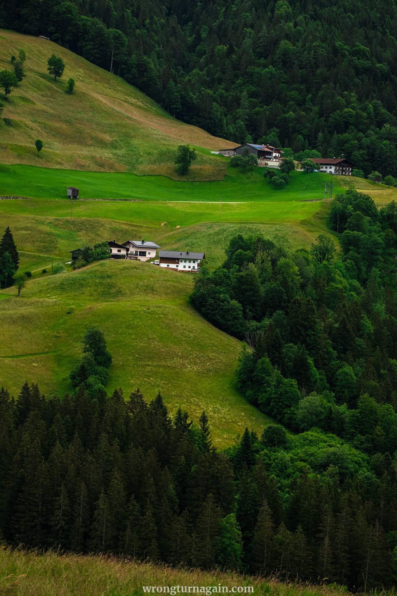
To access the Tiefenbachklamm, you’ll first need to make your way to the village of Kramsach in the Alpbachtal. Regardless of whether you’re starting your hike from the village or the gorge entrance, reaching either location is straightforward by car or public transport.
By Car
If you’re driving from Innsbruck or Kufstein, take the A12 motorway (Inntal Autobahn) towards Kufstein and exit at Kramsach. Remember that you’ll need a Vignette for driving on the motorway.
Hikers beginning from Section I can park at the defunct Sonnwendjochbergbahn at the village’s end. For those starting from Section II, follow the main Wittberg road for approximately 5km north of the village. You’ll find two free parking spots conveniently situated on the left side of the road, right at the trailhead.

Important note: Due to the gorge's popularity in summer, parking spaces at the trailhead may fill up quickly. While some park on the right side of the road, it's worth noting that during our visits, they all received parking tickets. In such cases, it's advisable to head down to the village and utilize parking at the Sonnwendjochbergbahn.

By Public Transport
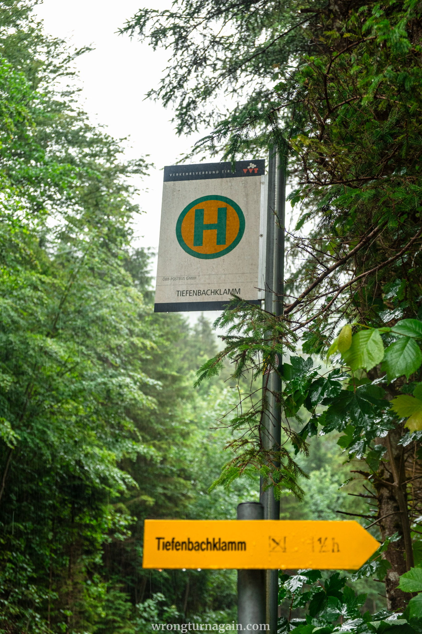
When traveling by public transport, your journey begins with a train ride to Brixlegg Bahnhof. Depending on your starting point, you may need to make a transfer in Wörgl before reaching Brixlegg. Upon arriving at Brixlegg train station, board Bus #611. If you’re starting your hike from Section I, disembark at the Sonnwendjochbahn Talstation stop. For those beginning at Section II, alight at the Tiefenbachklamm stop.

Travel Tip: Exploring Tyrol for a few days? Consider the weekly (€50) or monthly (€112) tickets for unlimited travel throughout the Tyrol province. For a one-day excursion for two individuals traveling together, the 2Plus Day Ticket (€38) offers excellent value.
Note: Guests with accommodations in the Alpbachtal region enjoy complimentary bus rides. Additionally, you can access free transportation to Kramsach via VVT buses from Wörgl or Jenbach by showing your booking confirmation.

Check train and bus connections here.

Where to Eat around the Tiefenbachklamm
During your hike, there are two convenient snack bars (Jausenstationen) along the trail, with additional options available in the village of Kramsach.
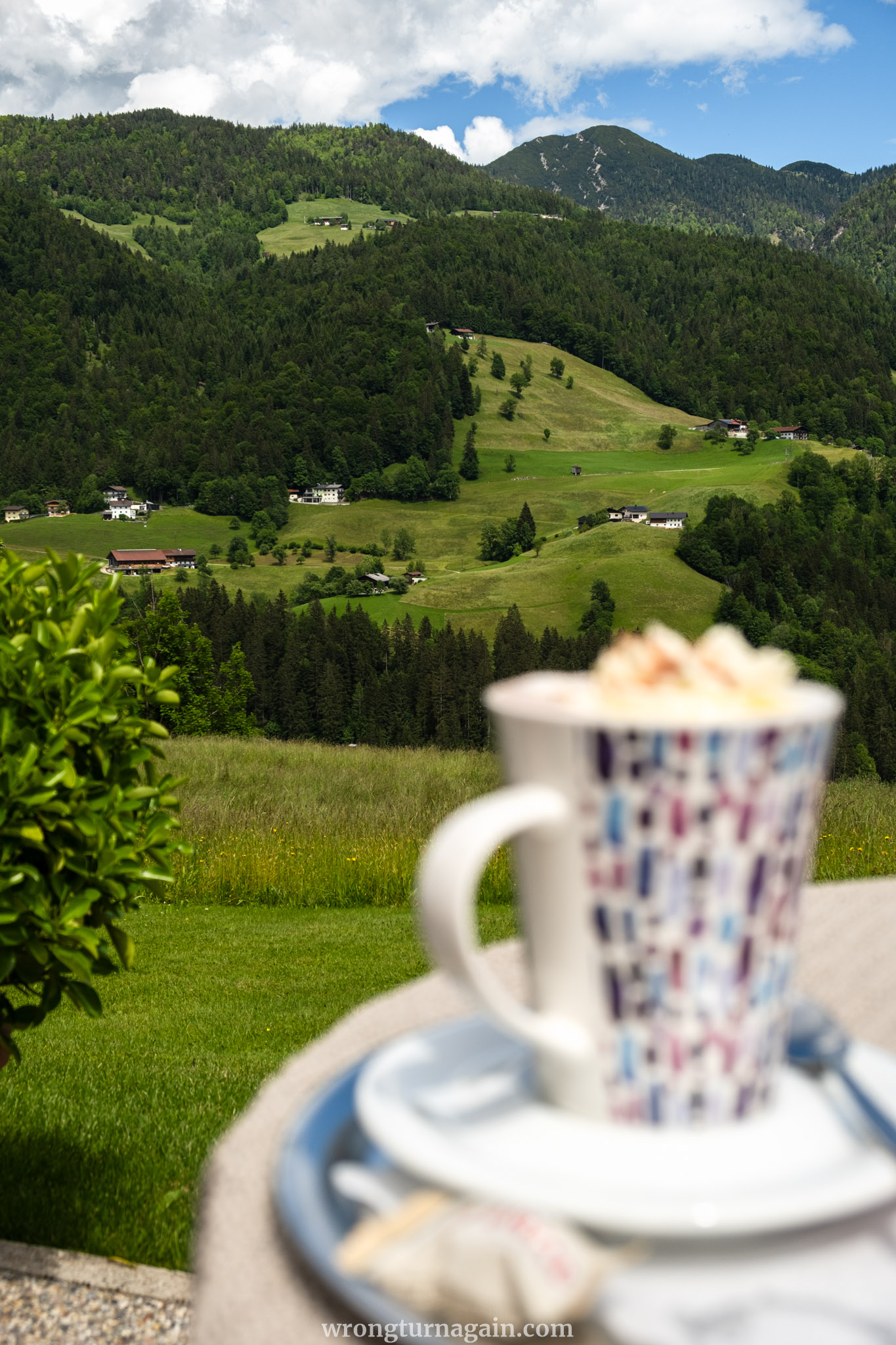
- Jausenstation Tiefenbachklamm: Situated at the end of the gorge trail, this snack bar is also accessible by car. Enjoy daily specials and traditional Tyrolean cuisine in the tranquil sun terrace and cozy lounges.
- Jausenstation Stegerstall: Nestled at 786m, this charming snack bar offers stunning views of the Brandenberg Valley. Indulge in cold dishes, generous salads, delightful ice cream creations, and homemade cakes by the landlady. Free parking and a nearby bus stop make it easily accessible.
- Gasthaus Mariathal: Located in Kramsach, at the foot of the road leading to Tiefenbachklamm, this quintessential Tyrolean inn offers delectable cuisine and a picturesque garden overlooking the Brandenberger Ache.
- Prügeltorten Mader: Discover this quaint bakery nestled within a residential building, offering the renowned Prügeltorte delicacy.

Where to Stay near the Tiefenbachklamm
The Tiefenbachklamm is conveniently situated between Kramsach and Brandenberg, making either village an excellent base for exploring the gorge. Kramsach is particularly recommended due to its larger size, offering more dining options and activities.
Both villages, as well as the surrounding Alpbachtal region, feature accommodations that retain a traditional Tyrolean charm with rustic architecture, wooden furnishings, and alpine decor, providing an authentic regional experience.

Tip: Staying in any of the Alpbachtal villages comes with the added benefit of receiving the Alpbachtal Card at check-in for free, which includes complimentary bus rides among other perks.

Where to Stay: Freundsheimhof, Kramsach ~ Windhaghof, Kramsach ~ Hotel Landgasthof Gappen, Kramsach ~ Hotel Neuwirt, Brandenberg ~ Gasthof Ascherwirt, Brandenberg ~ Mesnerhof, Brandenberg || Camping: Camping Seeblick Toni, Camping & Appartements Seehof

When to Visit the Tiefenbachklamm
The Tiefenbachklamm is a freely accessible gorge, but the main trail involves navigating a narrow path secured with ropes between steep rocks. Maintained by the local tourism association, this section is closed from November to April due to potential hazards caused by winter conditions. During colder months, temperature fluctuations can dislodge rocks, posing risks to visitors and damaging infrastructure such as steel railings on bridges.
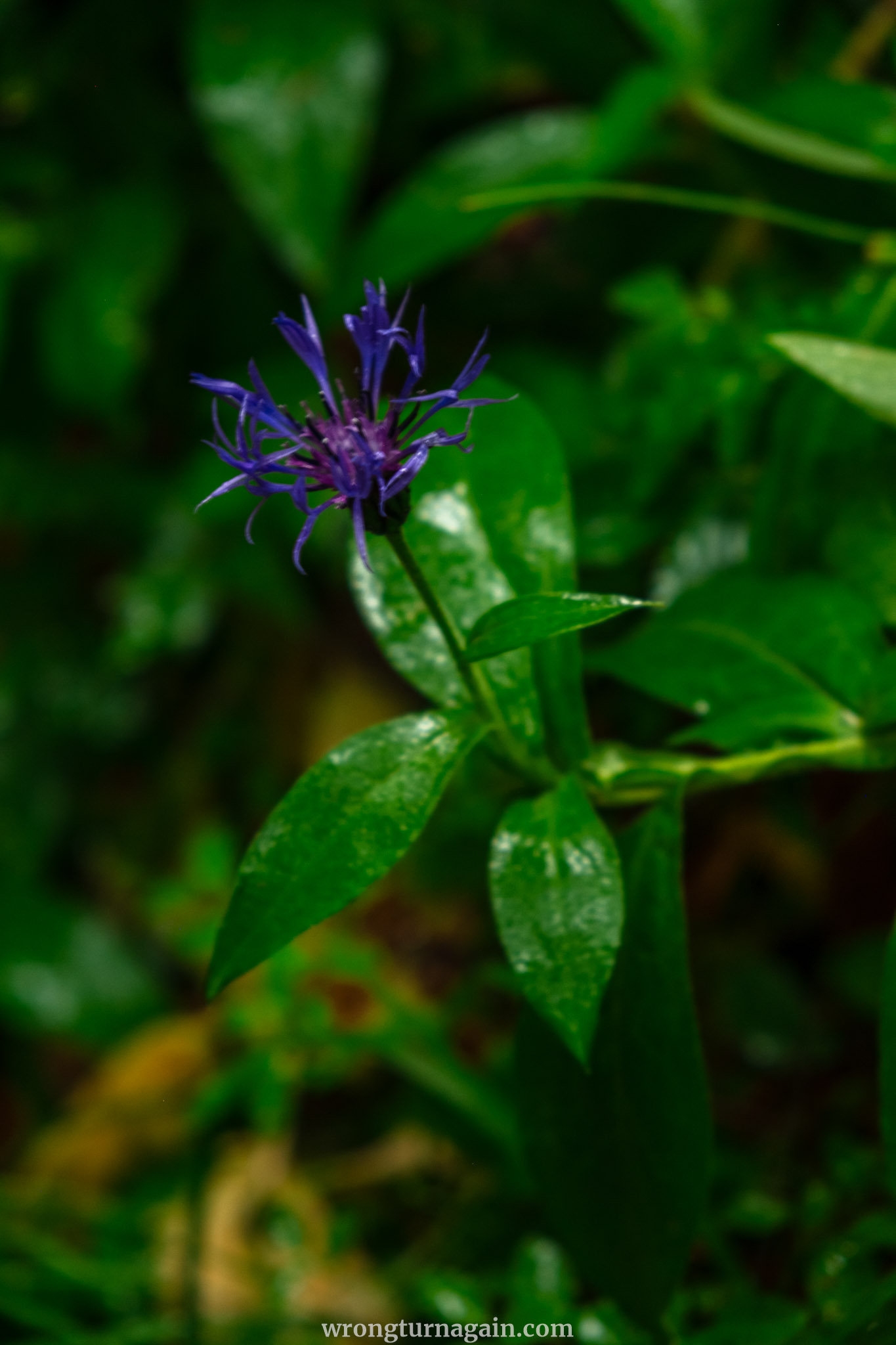
The secured trail through the gorge is officially open from May to October. The best times to visit are May and June, when vibrant flora blooms, water levels are ideal, and the Brandenberger Ache flows with turquoise-green meltwater. However, it’s important to note that heavy rainfall during the summer can lead to temporary closures, as rapidly rising water levels and storms may affect trail safety.

Tip: Check here for local events during your visit, ranging from traditional folk festivals like the Almabtrieb and the annual Kirchtag fair to organized hikes.