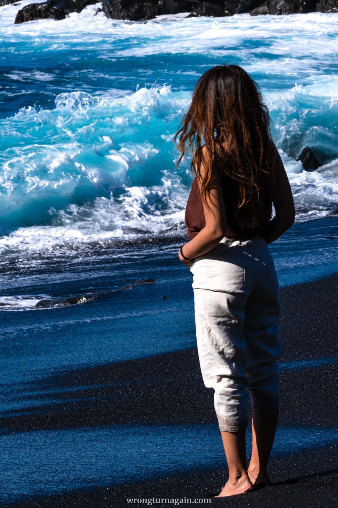
Situated in the heart of Lanzarote, Timanfaya National Park emerges as a volcanic marvel, alluring adventurers with its lunar-esque panoramas and breathtaking coastal scenery. Protected with utmost care, access to this unique sanctuary is primarily through the Coastal Route (Ruta del Litoral), except for the exclusive Termesana tour, demanding prior reservations and expert guidance.
But fret not, as this coastal hike promises an intimate rendezvous with the island’s volcanic legacy, unmatched by any other experience. If you’re yearning to discover Timanfaya on foot, consider this guide your indispensable ally.

Hike Overview
The Coastal Route stretches for 13 kilometers along the island’s western coast and is divided into two sections:
- Ruta Litoral I: Commencing from either Caldera de Montaña Quemada or El Golfo village, this southern section culminates at Playa del Cochino.
- Ruta Litoral II: Beginning at Playa del Cochino, this northern segment concludes at Playa de Madera, or vice versa for those solely tackling this section.
So, when it comes to hiking the coastal route, you have the following options to consider:
- Round Trip of Ruta Litoral I: Start from Caldera de Montaña Quemada, pass through Playa del Paso and Playa del Cochino, then return via El Golfo to Caldera de Montaña Quemada.
- Round Trip of Ruta Litoral II: Begin at Playa de la Madera, head to Playa del Cochino, and backtrack the same route.
- One-Way Trip of Ruta Litoral I + II: Start from Caldera de Montaña Quemada or El Golfo, hike to Playa del Cochino, continue to Playa de Madera, and arrange a private transfer back to the starting point. Alternatively, start from Playa de Madera and end at El Golfo.
If you’re an avid hiker seeking a challenge, completing the entire route (Option 3) is a great option. However, keep in mind the logistics of returning to your vehicle if you parked at the trailhead. Alternatively, if you prefer a shorter hike or want to return to your starting point, consider following just one of the two sections (Option 1 or 2).
Following, we’ll provide detailed guidance for hiking each segment separately, allowing you to tailor your experience to suit your preferences.

Hiking Ruta del Litoral I
The southern leg of the coastal trail, known as Ruta del Litoral I, commences near Caldera de Montaña Quemada, just before the entrance to Timanfaya National Park. Initially, the path winds through the park’s interior before reaching the junction for Playa del Paso. Continuing along the coastline, it treats hikers to breathtaking ocean views until reaching Playa del Cochino.
For an alternate starting point, the parking lot in the quaint fishing village of El Golfo grants access to Sendero del Golfo. This coastal pathway offers panoramic vistas above Playa del Paso before merging with Ruta del Litoral I at the junction.

Tip: If your hike doesn’t extend to Playa de Madera (Ruta del Litoral II), consider trekking from Montaña Quemada to Playa del Cochino and retracing your steps via Sendero del Golfo for the return journey. El Golfo’s parking lot features a convenient pathway leading back to the starting point near Montaña Quemada, completing the loop.
Now, let’s dive into the details of this captivating hike!
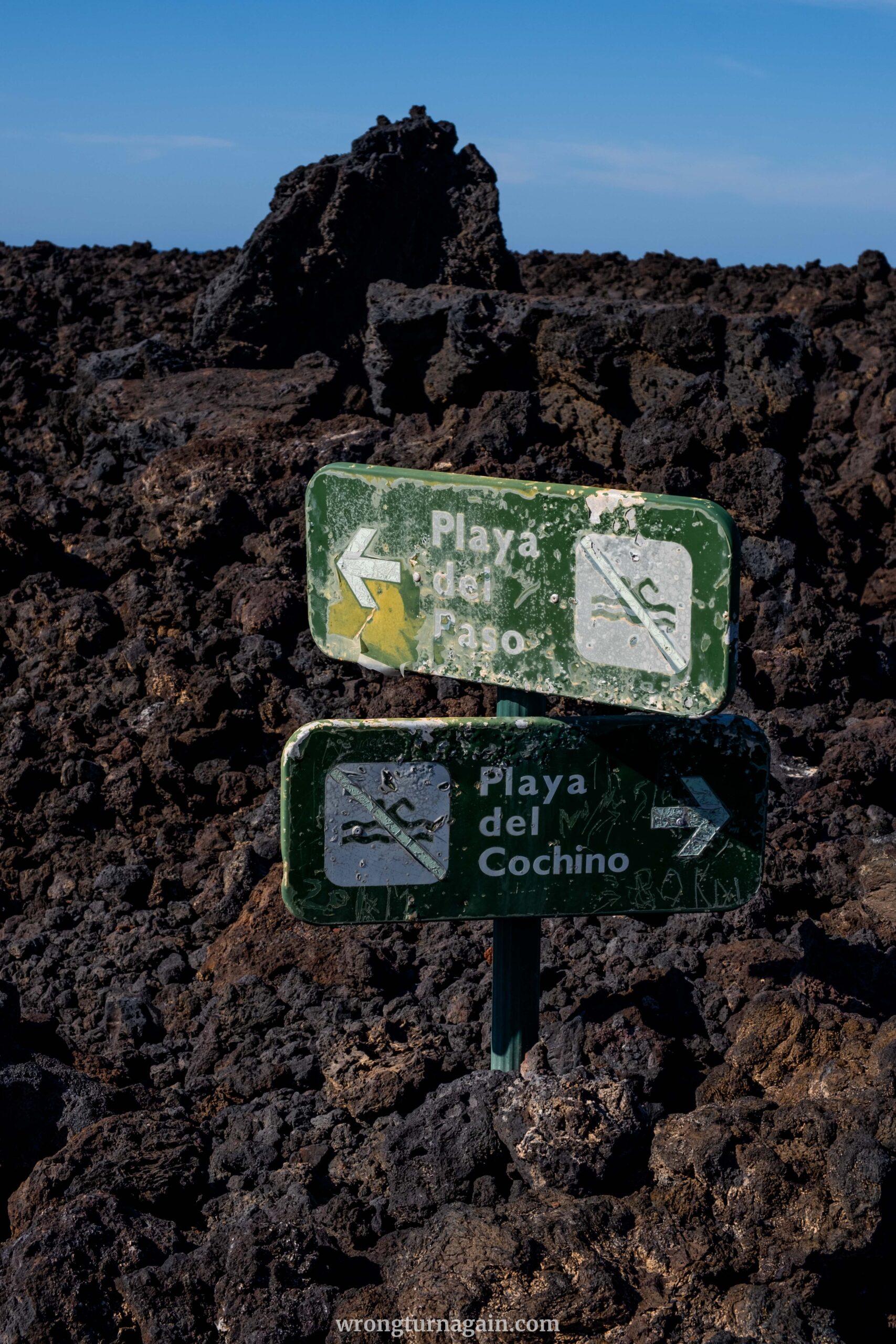
Section 1 – To The Playa del Paso Junction
Depending on where you choose to kick off your hike – whether it’s from Montaña Quemada (A) or El Golfo (B) – here’s how to make your way to the junction:
A) Inland Route
Depart from Yaiza heading south and take the LZ-704 towards El Golfo. Around 4km in, you’ll spot a gravel road, LZ-705, veering off to the right. Follow this road, passing chained-off paths, until you reach a fork marked by a gateway and a small shrine. Continue straight ahead, and about 400 meters further, you’ll find parking near Casas de Juan Perdomo, opposite a stone quarry house.
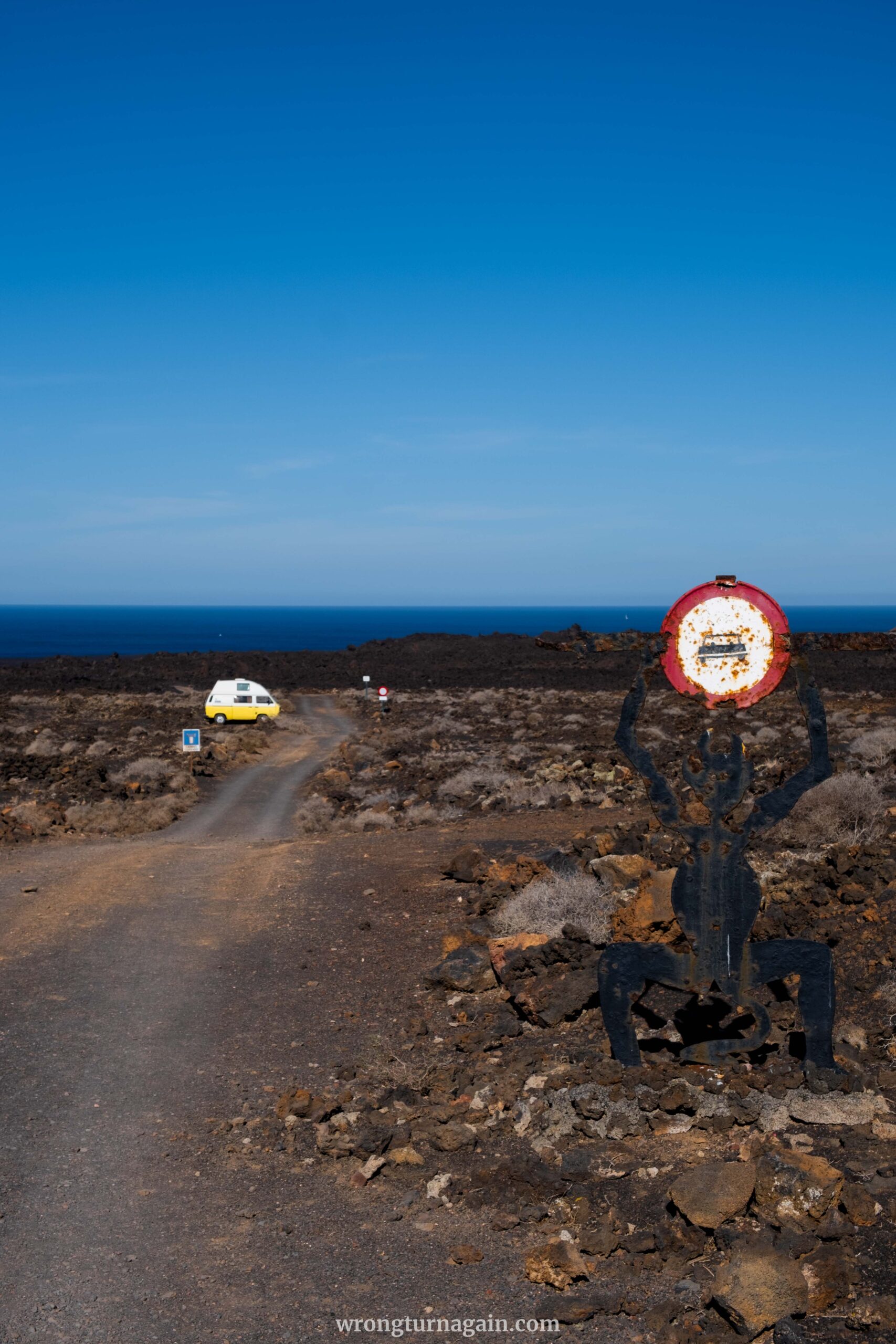
From the quarry stone house, follow the track towards a large estate 100 meters away, keeping left. After a brief descent towards the sea, you’ll arrive at the entrance to Timanfaya National Park, closed to cars and bikers by a barrier. A sign reminds visitors to stick to the path and avoid taking lava souvenirs.
To the left of the barrier, a narrow passage welcomes pedestrians. The path leads to the remarkable landscape of El Mojón, shaped by volcanic eruptions in the 18th century. After approximately 25 minutes of walking, you’ll encounter a junction.
B) Sendero del Golfo (coastal route)
Make your way to the village of El Golfo, nestled on the scenic western coast of Lanzarote, and park your car here. Adjacent to the parking area, a prominent sign awaits, offering valuable insights into the Timanfaya National Park and featuring a detailed map outlining your hiking route.
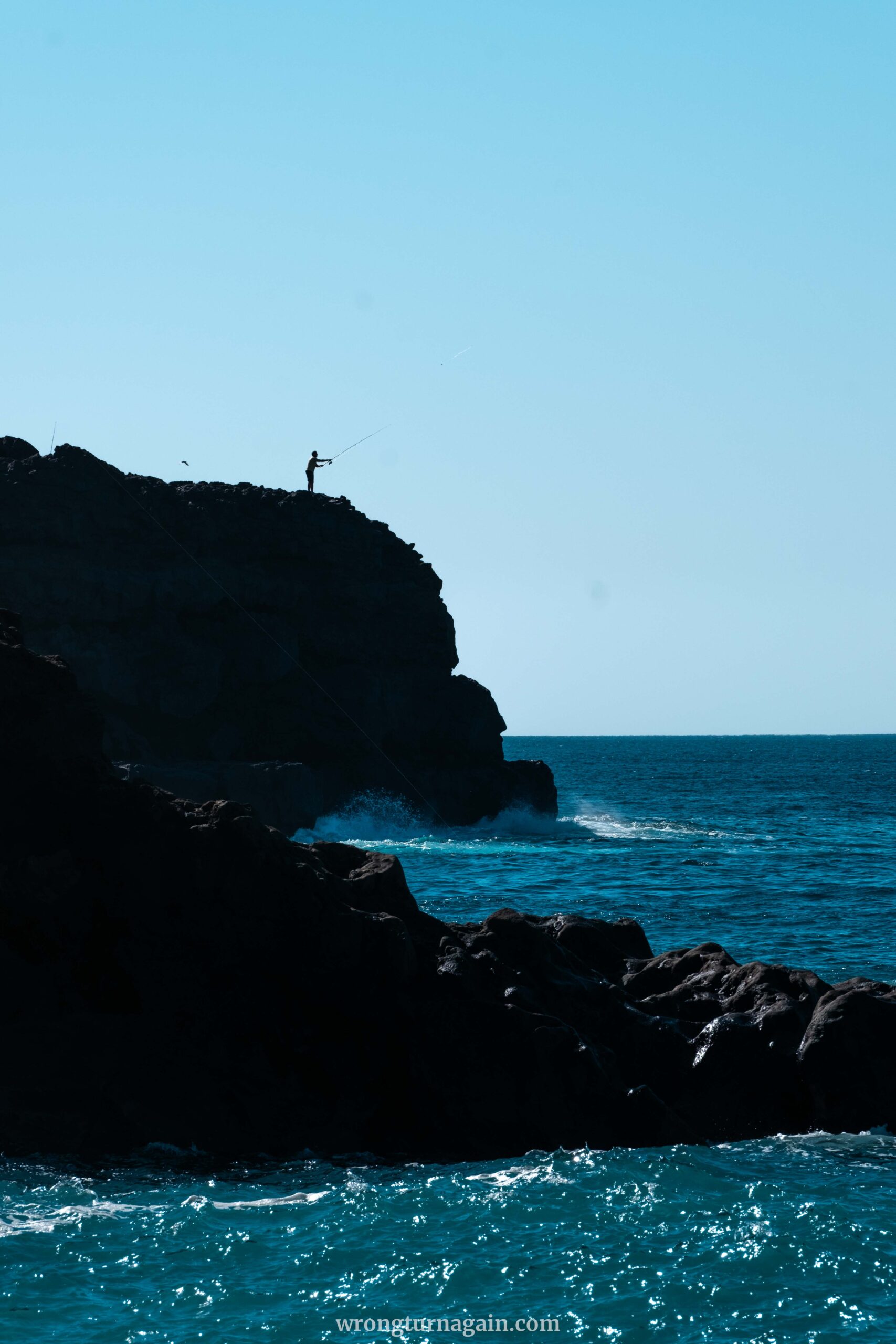
The trail winds along the rugged coastline, offering spectacular views of the Atlantic Ocean and the dramatic cliffs that line the shore. The sound of crashing waves provides a soothing soundtrack while seabirds soar overhead and marine life frolics in the waves below.
Your journey will parallel the coast for approximately 1.2 kilometers before veering slightly inland to intersect with the Playa del Paso junction. The trail is well-marked and relatively easy to navigate, making it suitable for hikers of all skill levels. However, be prepared for some uneven terrain and occasional steep sections as you traverse the coastline.
Section 2 – Detour to Playa del Paso
Make sure not to miss the detour to Playa del Paso — it’s a highlight of the hike, and you can easily fit it in on your way there or back. At the junction, simply follow the path that heads down to the beach. If you’re coming from the inland route, it’s the one that stays alongside the main road. If you’ve taken the coastal route, look out for the path on your left.
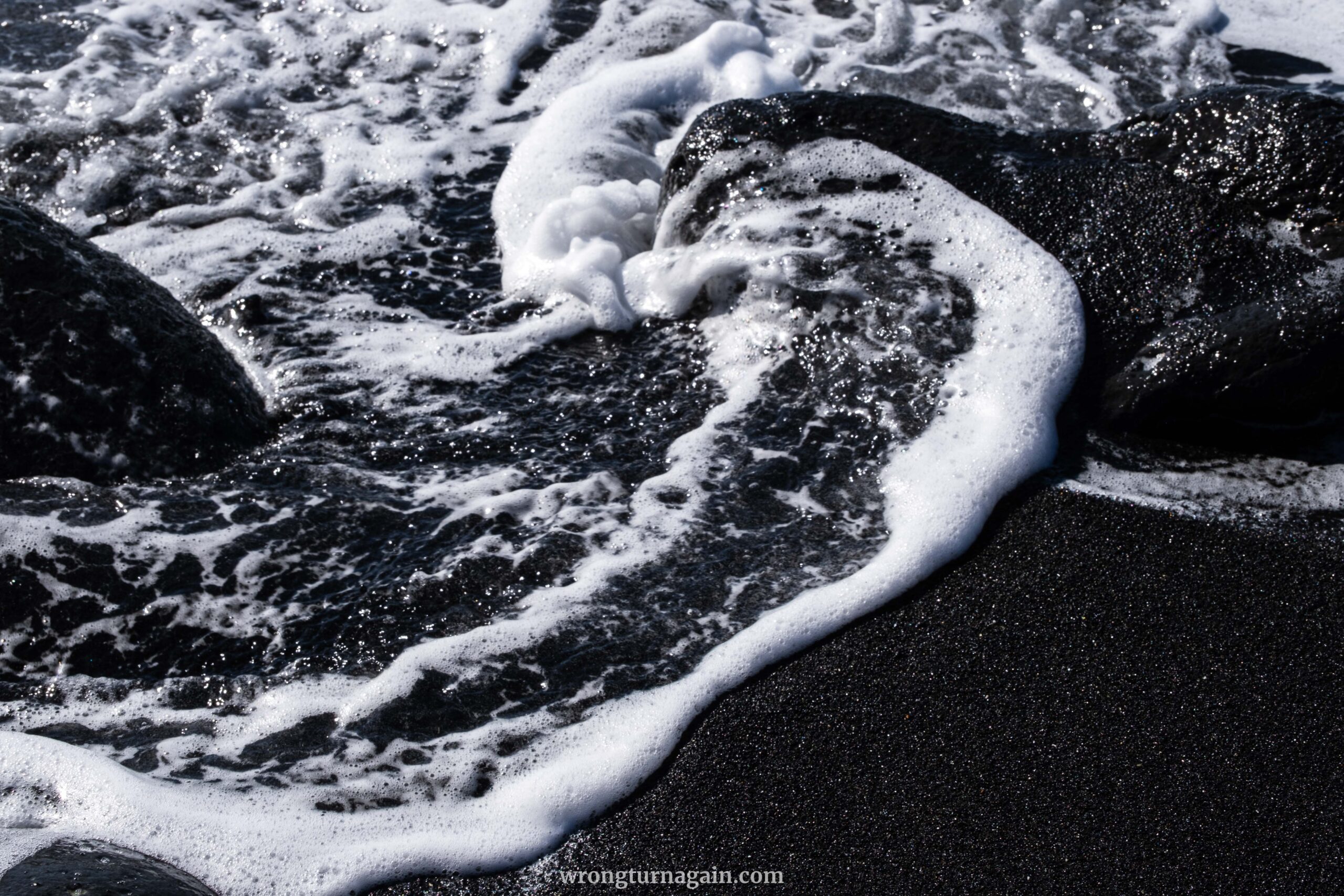
With a striking 20-meter cliff as a backdrop, you’ll find a beautiful bay and a 100-meter black sand beach waiting for you. While swimming isn’t allowed, it’s a perfect spot for a relaxing break. The round trip to the beach takes just 15 minutes along the same path.
Section 3 – To Playa del Cochino
When it’s time to move on, take the third exit track to the right, following the signpost for Playa del Cochino. Before long, you’ll reach the coast, where lava and water have shaped a unique cliff formation. Passing by Montaña de Halcones, the only volcano near the coast, you stick to the coastal path, never veering more than 20 to 30 meters from the sea.
Eventually, you arrive at a rustic hut crafted from driftwood, ropes, and nets, signaling your arrival at Playa del Cochino. This beach, adorned with a scattering of sand, showcases smoothly polished stones and modest vegetation, revealing its resilience against volcanic activity.
Section 4 – Taking the Way Back or Ruta Litoral II
Once you’ve rested, it’s decision time: do you head back the way you came or explore Ruta Litoral II?
If retracing your steps, simply return to the track junction. If you missed the detour to Playa del Paso earlier, now’s your chance to check it out. From there, follow the same route back to the trailhead or take the path on your right to reach El Golfo along the coastal trail.

Hiking Ruta del Litoral II
The northern stretch of the hike seamlessly extends from Ruta Litoral I or independently starts from the untamed shores of Playa de la Madera. Spanning 6 km, it traverses rugged terrain characterized by lava formations and badlands, presenting an easy trek along a rough cinder path.

Following the park’s coastline, you’ll delve into the fascinating processes of beach formation while encountering a tapestry of geomorphological wonders, intertidal zones, imposing cliffs, and diverse fauna.
Note: Our instructions below focus on hiking from Playa de la Madera, offering the flexibility to tackle this segment alone. However, if you’ve already completed the first section and are continuing onwards, simply follow our instructions in reverse.
Section 1 – Getting to the Trailhead
To reach the trailhead, head towards Tinajo and turn left onto Calle La Laguneta, just after passing the Unide supermarket near the post office. Follow the narrow tarred road, which bends right after 3.8km, then continue straight on an undulating dirt road.
Along the way, you’ll encounter a path to the left—take this route. From there, keep going straight, ignoring any roads that lead off to the sea. After approximately 6.3 kilometers, the dirt road will end, and you’ll arrive at Playa de la Madera.
Section 2 – Hiking to Playa del Cochino
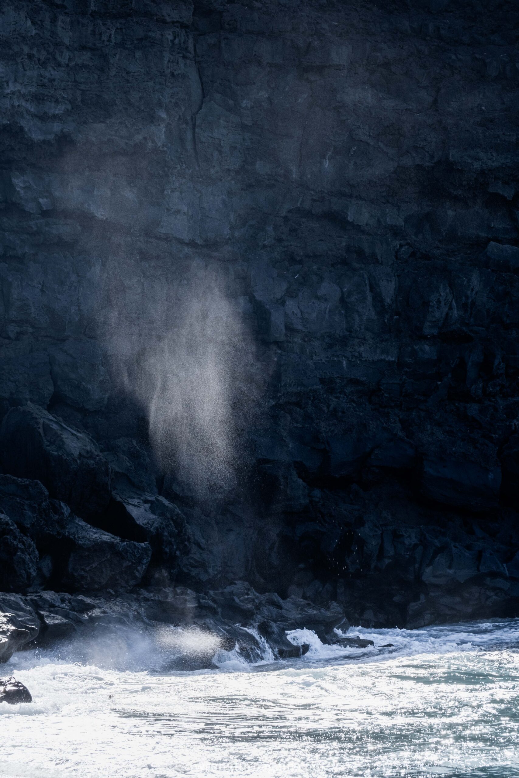
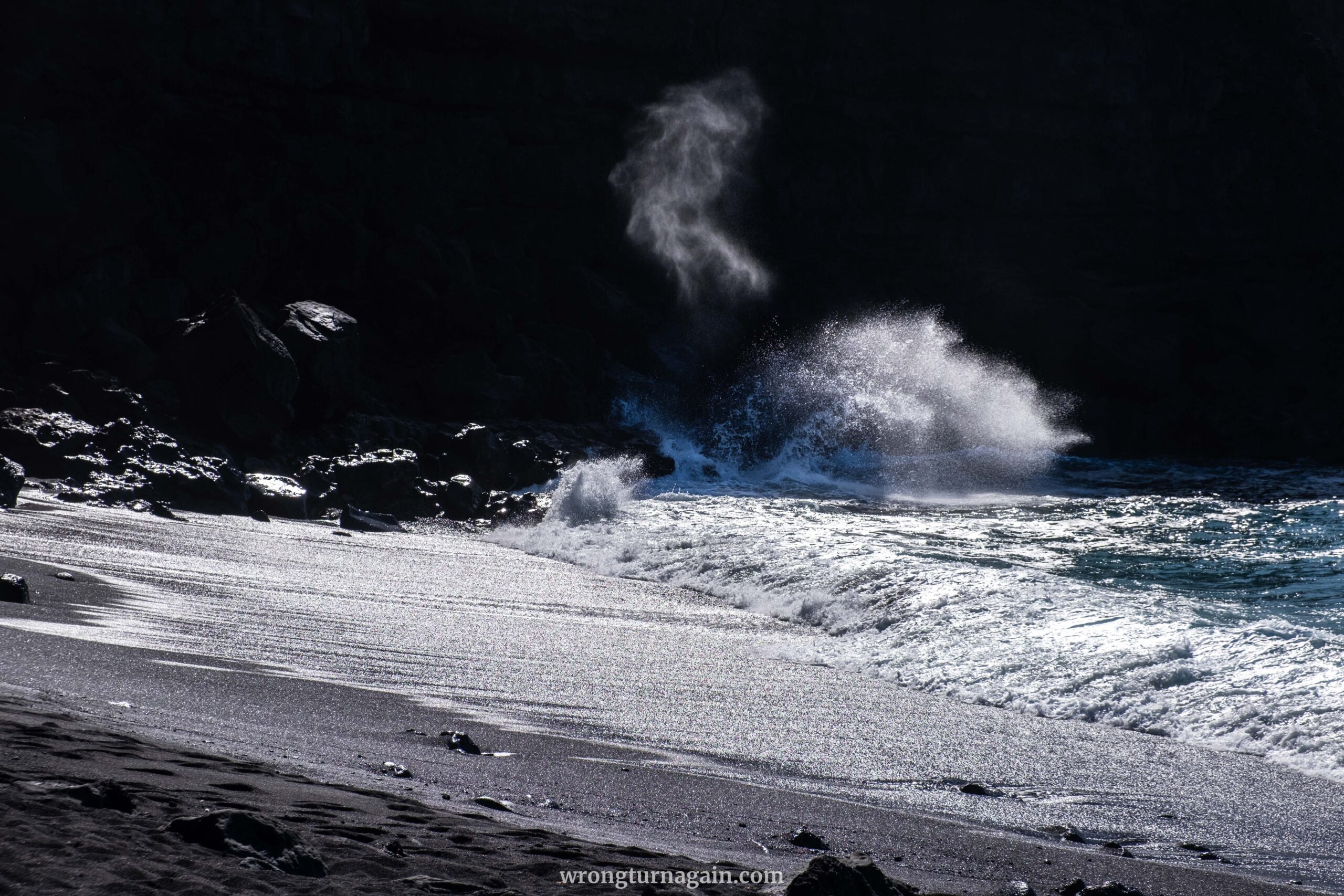
The entrance to Ruta del Litoral awaits at the western edge of Playa de la Madera. Follow the cinder path as it unveils the rugged landscape, where waves crash against the rocky shoreline with a thunderous roar, carving narrow channels into the lava.

Notable sights include the impressive Piedra Fernández headland, revealing huge massive blocks in a fjord-like formation, and a lone trigonometric column, standing as the only man-made landmark amidst the sea of lava.
The path, at times, veers up to 70m from the sea, with volcanic bombs of varying sizes lining the way and cairns guiding you across a vast field of rope lava. Caleta de la Ensenada comes into view, bordered by Punta de la Ensenada—a rocky outcrop resembling the bow of a ship. The landscape alternates between knitted lava and slightly reddish-colored aa lava outflows.
Your hike culminates at Playa del Cochino, where a humble hut marks the spot. Though lacking in sandy shores, this area is a testament to land spared from recent lava flows. Despite its barren appearance, sea creatures thrive in this unique habitat.
Section 3 – Taking the Way Back or Ruta Litoral I
After a well-deserved rest, your journey retraces the same path back to Playa de la Madera. However, if you’re craving more adventure and feel up to the challenge, consider extending your hike by venturing along the coastal path from Playa del Cochino to Playa del Paso (see Ruta Litoral I).
Note: Keep in mind that this route leads to a different endpoint, so arranging a pick-up service or car swap with fellow hikers is a smart idea for a smoother return journey.

Best Cafes and Restaurants
If you’re trekking Ruta Litoral I, don’t miss the chance to enjoy fresh-caught fish by the seaside at the charming fishing village of El Golfo. For those embarking on Ruta Litoral II, take a break at Tinajo village for a bite to eat or venture 5km north to La Santa, where you’ll find one of the island’s culinary gems.
- Restaurante El Barquillo, La Santa: also known as El Sótano (the cellar), this spot served our trip’s best seafood. Arrive early; it’s first-come-first-served.
- Casa Rafa, El Golfo: outstanding casual seafood dining with sea views, but check its limited opening hours.
- Café Antigua Escuela, Yaiza: a quaint spot for tapas or coffee in a charming courtyard setting.
- Cervecera Malpeis, Tinajo: vibrant vibes and great food at this artisan brewery taphouse.
- Majo Picón, Tinajo: authentic Spanish fare in a cozy local bar; reservations recommended.

Where to Stay
For hikers tackling Ruta Litoral I, El Golfo is your go-to spot. This charming fishing village offers a serene setting, top-notch dining options, and a variety of accommodations ranging from cozy guesthouses to stunning villas with panoramic views. Plus, it’s just a stone’s throw from Charco de los Clicos, allowing you to enjoy this natural wonder in peace before the crowds arrive.

Where to Stay in El Golfo: Viviendas El Pescador, Salitre Apartamento, Estudio Andrea
Traveling in a campervan? Park at Los Hervideros, Mirador del Charco Verde, or Costa del Janubio. We opted for Costa del Janubio for its picturesque setting, unlike the others that felt more like standard parking lots.

Best Time to Hike Ruta Litoral
Lanzarote’s favorable weather makes it a destination for year-round exploration, but for hikers, the cooler months from October to April are optimal. We visited in December and found the weather perfect: warm enough for just a t-shirt, yet with cooling winds along the coastline.
During the summer months, the heat can be oppressive, particularly with the added warmth from heated lava. However, compared to inland routes to volcanoes, this coastal hike offers a reprieve with refreshing breezes and opportunities to cool off in the water—though swimming is restricted due to strong currents. If visiting in summer, it’s essential to avoid the midday sun for a more comfortable experience.

Crowds shouldn’t be a major concern, as most vacationers gravitate towards the beaches or Cesar Manrique attractions, leaving the trails relatively quiet even during busy seasons like Easter or Christmas.

Budget for Hiking Ruta Litoral
While Timanfaya National Park requires a €20 ticket for entry from the main gate, the entrances from all the trailheads described in this guide are absolutely free. By opting for these entry points, not only will you save on costs, but you’ll also enjoy a more authentic and fulfilling experience.
Additionally, these two sections of the coastal route provide the only opportunity for independent exploration within the park—ideal for those who relish a DIY approach to adventure. However, if you prefer the expertise of a knowledgeable guide who can provide insights into the park’s wonders, advanced bookings can be made via the National Parks website.

Tips for Hiking Ruta Litoral
To elevate your hike along the Ruta Litoral and honor the distinctive landscape, consider these essential tips:
- Do not take lava pieces from the trail.
- Keep the trail pristine by taking your trash home with you.
- Sturdy footwear with good grip is essential for the rugged terrain.
- Bring plenty of drinking water. Since tap water isn’t drinkable on the island, opt for a reusable water bottle to minimize plastic waste.
- Don’t forget sun protection and a hat for the day, plus a warm jacket for cooler evenings.
- Watch out for stormy seas, as surging waves may reach the path.
- Most beaches along the trail prohibit swimming due to strong currents. Always check the signs for safety.