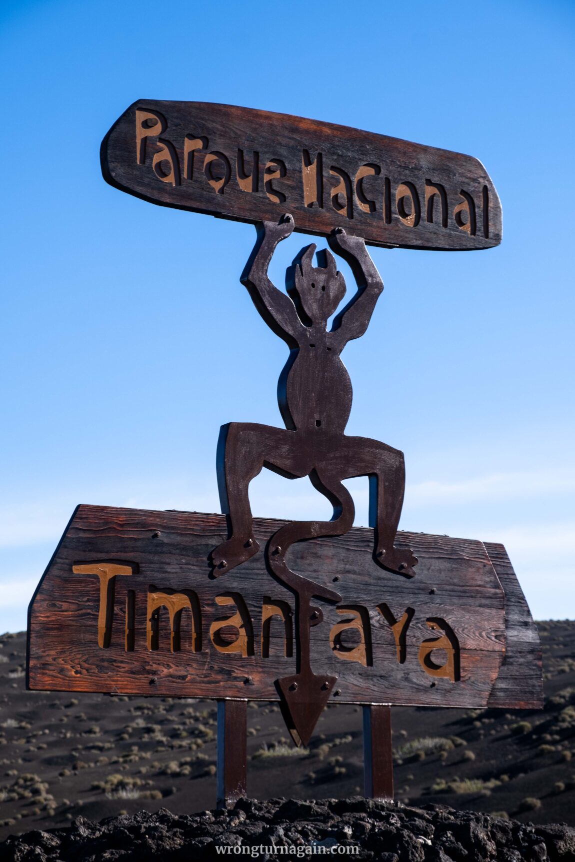
Timanfaya National Park: a place shaped by fire and time, where the earth’s ancient forces converge to create a landscape like no other. In the heart of Lanzarote, this captivating park beckons adventurers to discover its secrets through hiking. Traverse winding trails amidst ancient lava flows, marvel at towering craters and soak in the mesmerizing vistas of the Atlantic Ocean.
Join us as we unveil the ultimate guide to unlocking the wonders of Timanfaya National Park. Here, every step is a journey through time and nature’s raw power!

About the National Park
Discovering Timanfaya National Park is delving into the aftermath of formidable volcanic upheavals. Two pivotal eruptions punctuate its history, with the most recent in 1824 birthing three new volcanic cones: Tao, Tingüatón, and el Chinero.
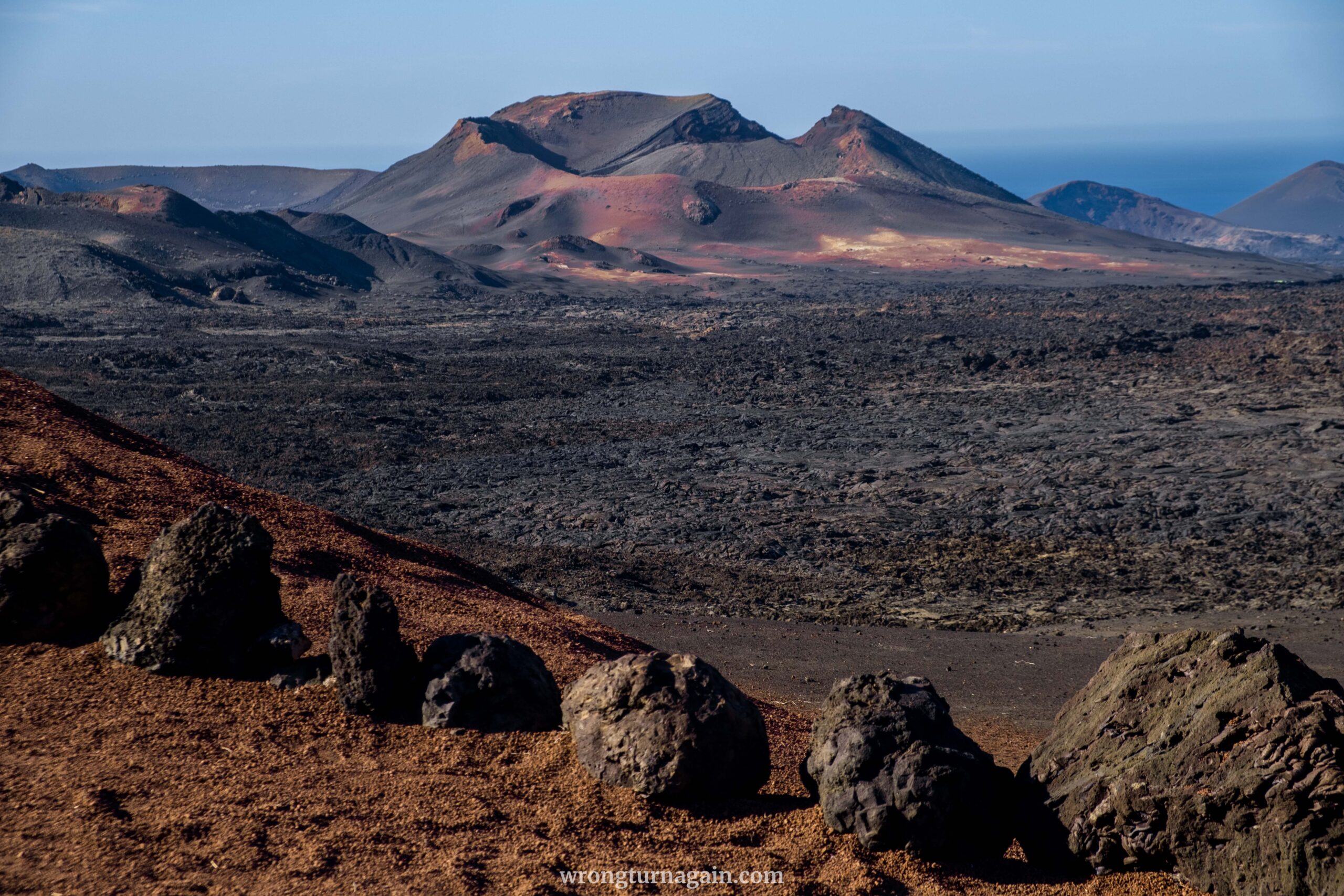
However, it was the tumultuous eruptions spanning from 1730 to 1736 that sculpted Timanfaya’s haunting landscape into a realm of blackened lava fields, craggy volcanic cones, and ominous craters—a scene evoking an extraterrestrial realm. During those turbulent six years, streams of lava and ash cascaded from approximately 25 craters, now known as Montañas del Fuego (Mountains of Fire), obliterating ten villages. Remarkably, amidst the chaos, no lives were lost.
Interesting fact: The Spanish kingdom, fearing invasion by pirates, forbade emigration under penalty of death, adding a layer of historical intrigue to the park’s narrative.
Today, Timanfaya National Park remains untouched by human interference and showcases remarkable geological features like lava flows, volcanic cones, and geothermal phenomena. Given its ecological and geological importance, the park earned National Park status in 1974, with over 90% of its area designated as a Reserved Area.
Despite its strict protection, there are three ways to explore the park (listed from our least to most favorite):
- Ruta de los Volcanes (Volcanoes Route): Traverse a 14km road on a guided bus tour, commencing from Islote de Hilario.
- Ruta de Termesana (Termesana Route): Embark on a 2km volcanic nature trail on foot, accompanied by a knowledgeable park ranger.
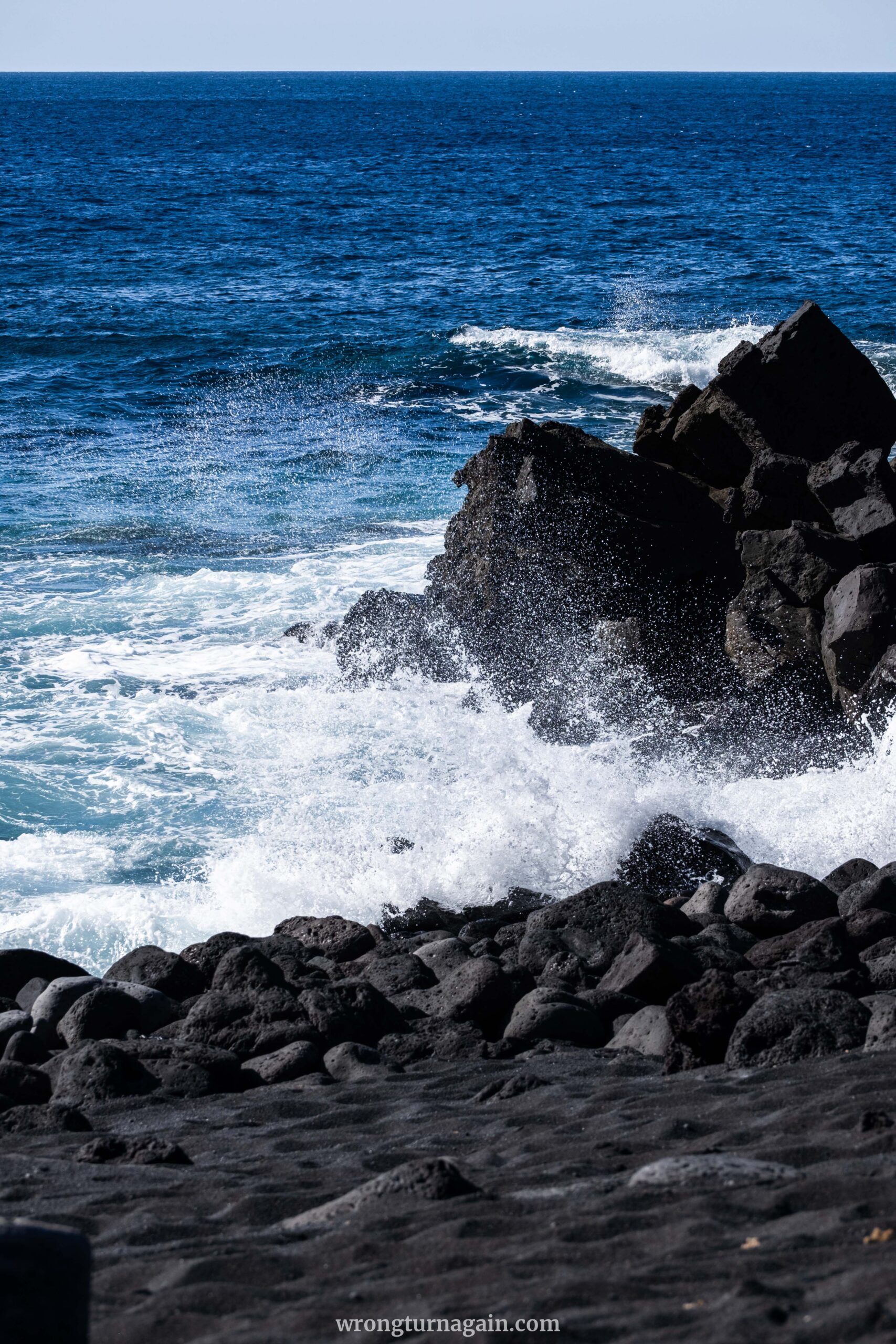
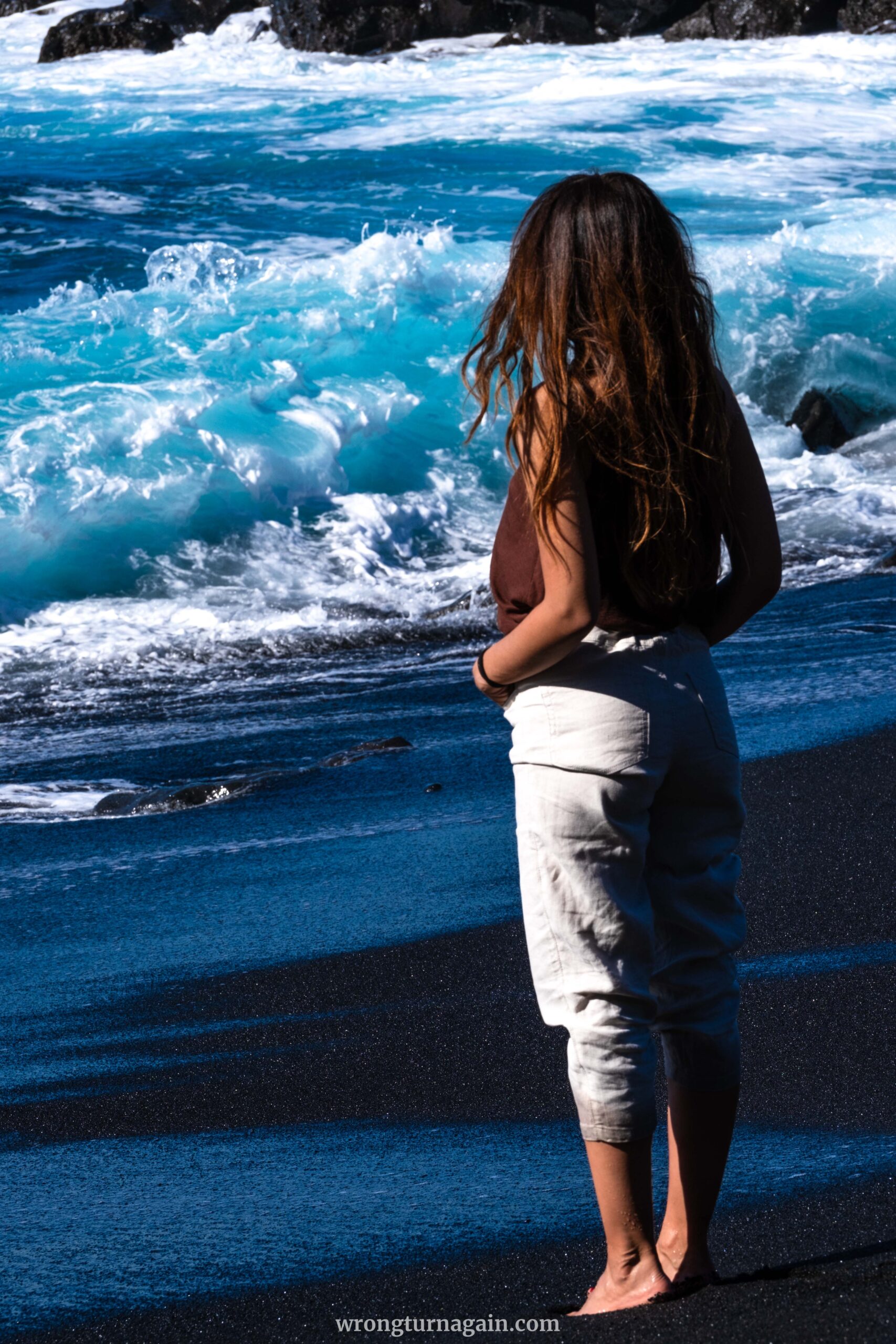
- Ruta por el Litoral (Coastal Route): Trek along the coastline between Playa de la Madera and Playa del Paso, either guided or independently.
Ready to dive deeper into each of these thrilling routes?

01. The Route of the Volcanoes
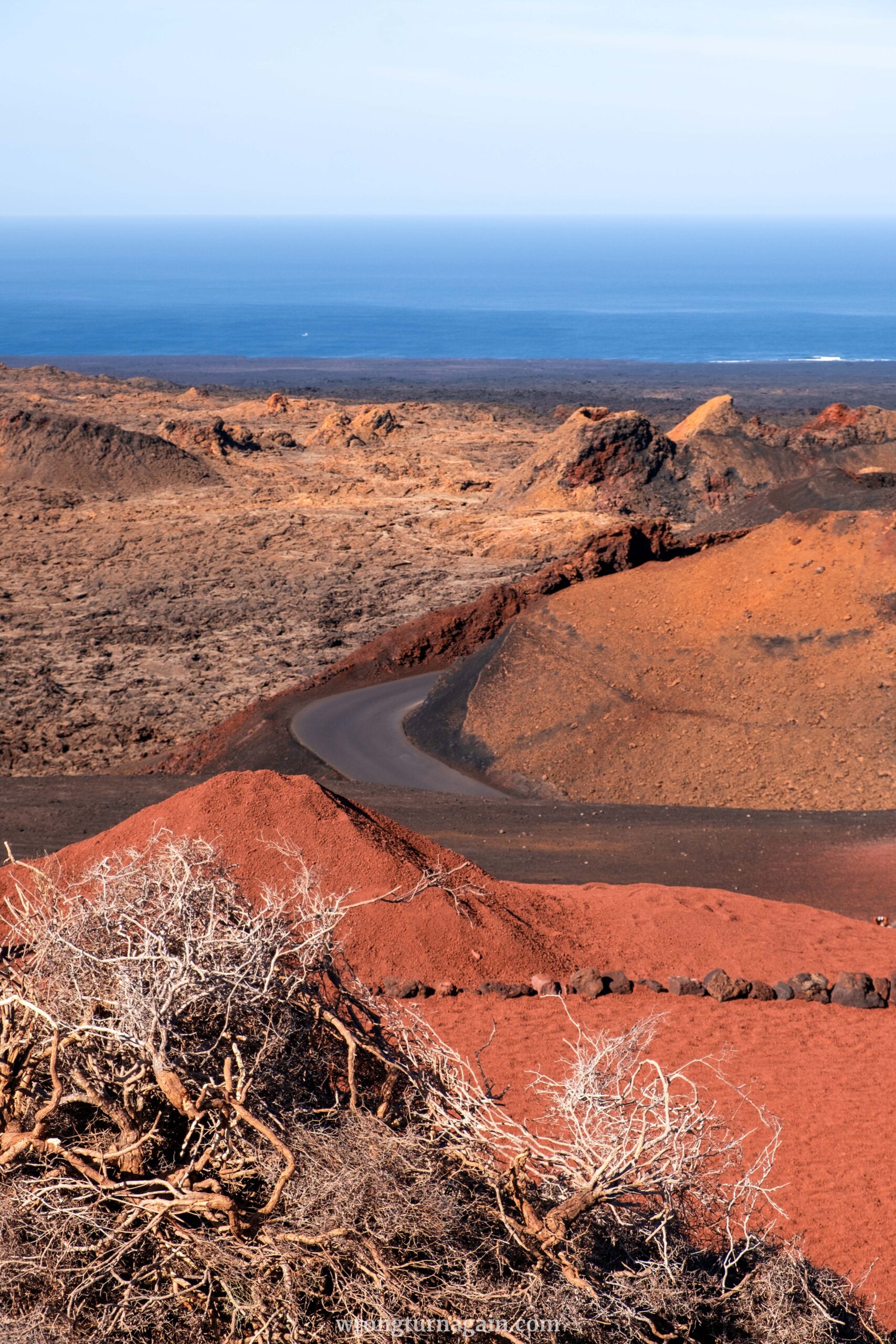
Starting from the parking lot at Islote de Hilario, the bus whisks you away on a 30-minute exploration of the park’s primeval scenery. The 14km route, known as Ruta de los Volcanes, winds past some of the most extraordinary volcanic formations, accompanied by an informative audio guide available in multiple languages.
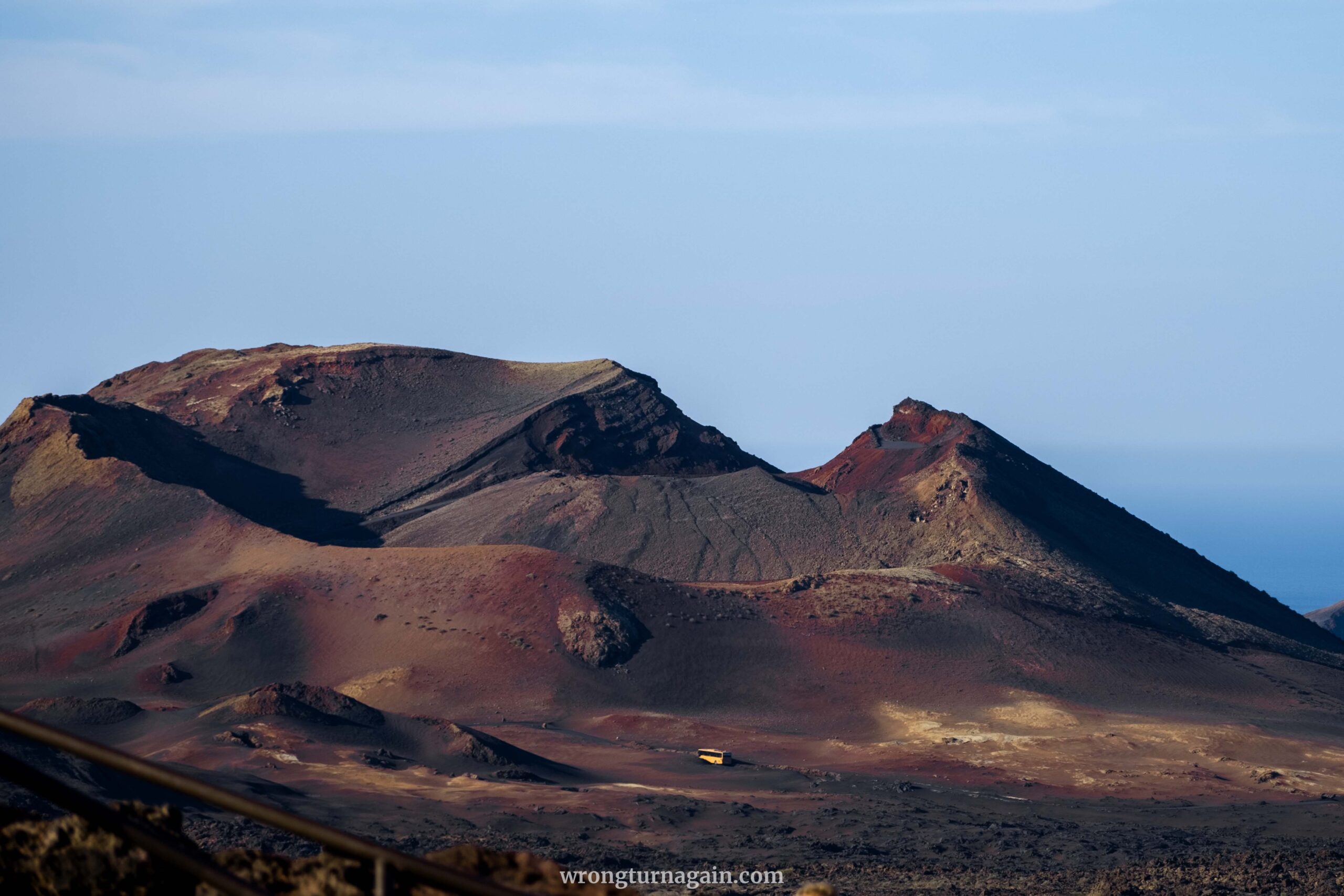
As you traverse the route, witness the contrasting lava formations of “aa” and “pahoehoe,” encounter distinctive features like hornitos and volcanic tubes, and behold the awe-inspiring pyroclastic fields nestled within Valle de la Tranquilidad. The journey also provides glimpses of Timanfaya’s highest points, including remarkable craters such as Ti.

Ticket: Entrance tickets for Timanfaya National Park (including the bus ride) are priced at 20 euros and can be purchased either at the entrance or online here. If you plan to visit other attractions such as Jameos del Agua or Cueva de los Verdes, consider purchasing a combo ticket, available at the entrance of any participating attraction or book an organized tour.

Our Experience
Our park exploration by bus left much to be desired. We were on a regular bus, not a minivan or touristic bus that would have allowed us to open the windows for photos and fresh air, especially on winding roads. The explanatory video with accompanying music became more annoying than informative, especially since it repeated the same information in different languages.
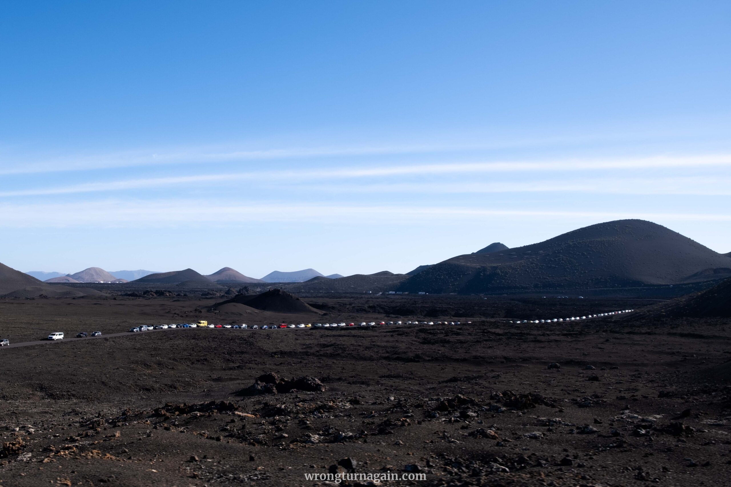
Needless to say, the bus ride was not our cup of tea. However, if you still opt for it, heed our advice: rise early and visit during the cooler months to minimize discomfort. Arriving promptly at the park’s opening is paramount to avoid enduring lengthy queues caused by the influx of cars.
How to Get to The Park Entrance
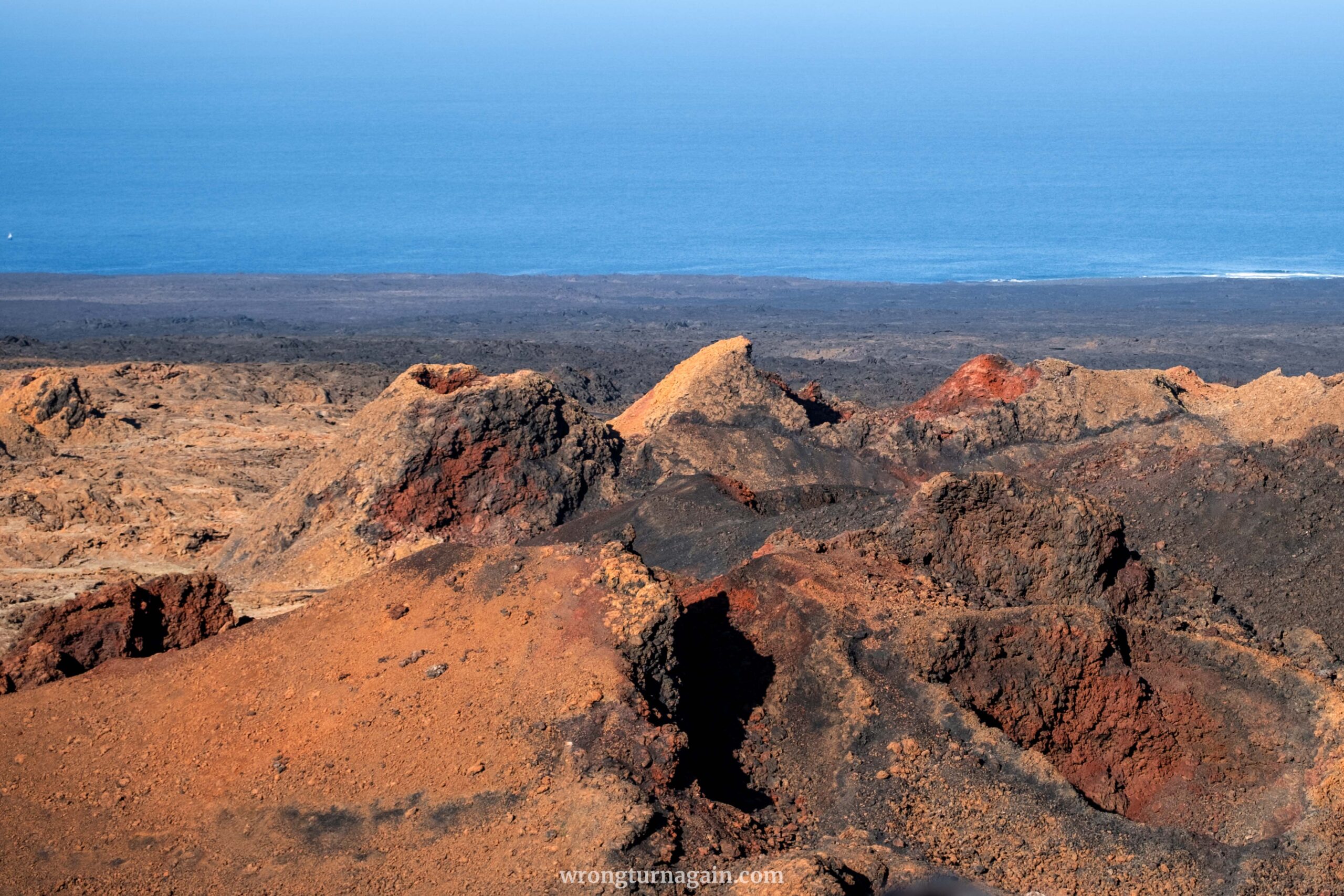
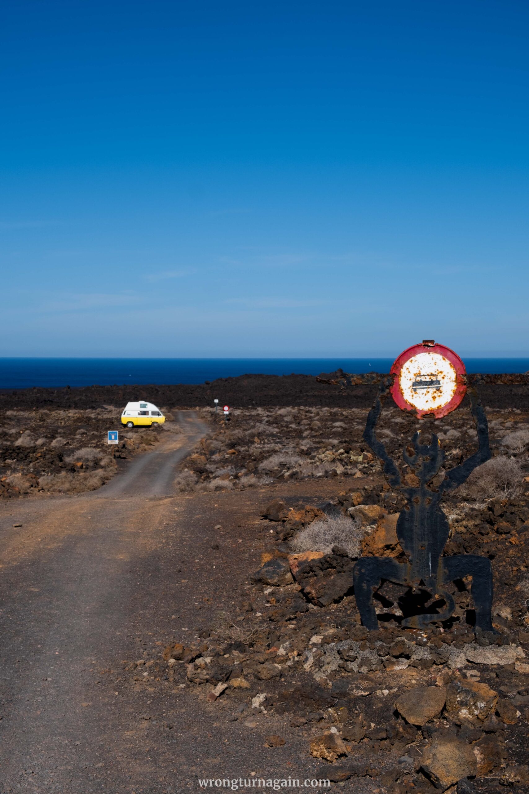
Timanfaya National Park’s main entrance lies along the LZ-67 road, connecting Yaiza to Mancha Blanca. The drive to the entrance offers a surreal journey through a lunar-like landscape, setting the stage for the volcanic wonders within. Upon arrival, you’ll be greeted by a devil statue, symbolizing the park’s volcanic origins and the awe-inspiring natural forces at play.
At the entrance, ticket booths await for purchasing entry tickets or validation if already purchased. From there, follow the road to the parking lot at Islote Hilario, where amenities such as the El Diablo Restaurant, volcano barbecue, and restroom facilities are available. The bus tour commences from this point.

| Opening Hours: The park operates from 09:30 to 17:00, with the last access at 15:45 (current info here). Early arrival is recommended to avoid crowds.

02. The Termesana Route
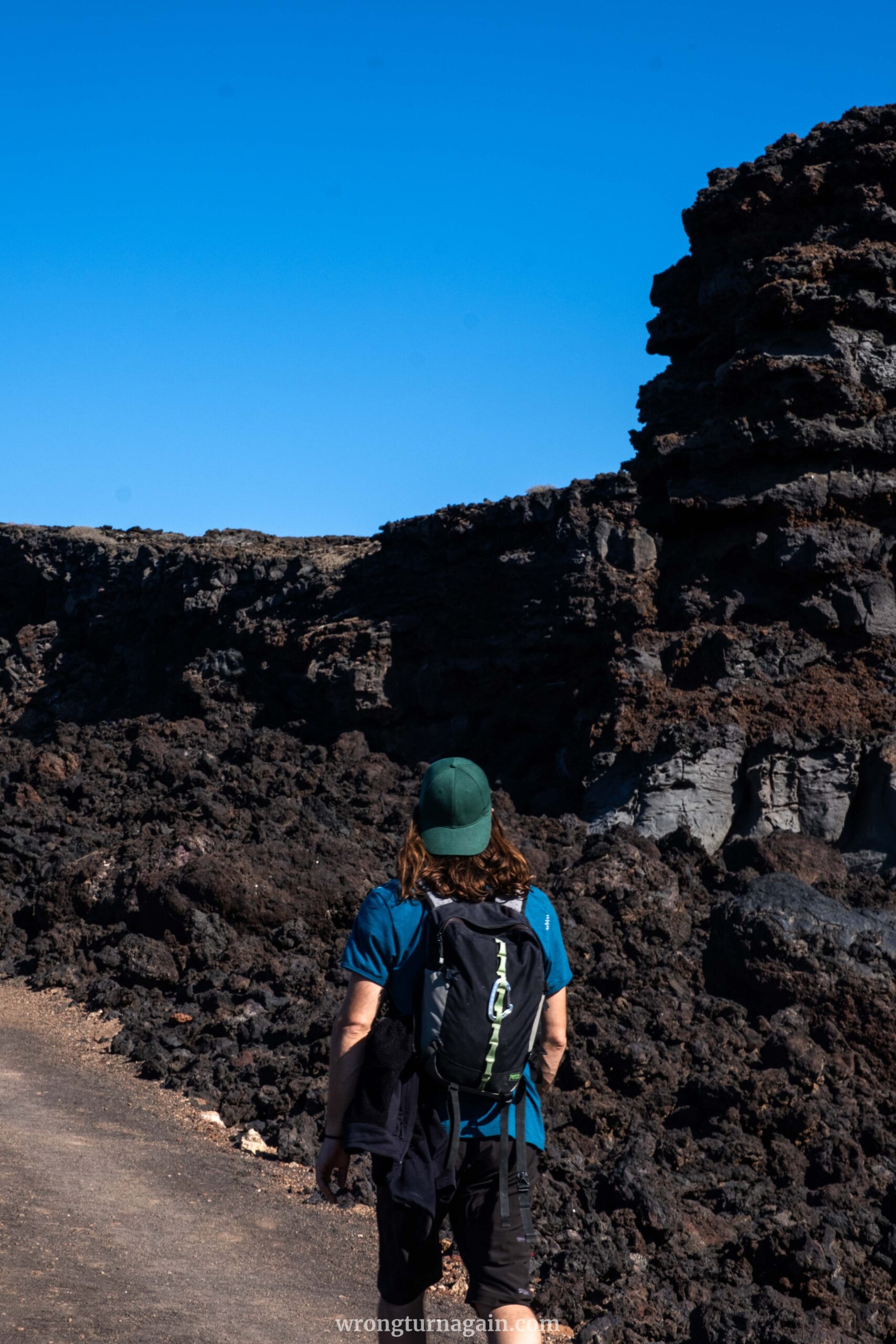
Ditch the bus ride and opt for a superior adventure: hiking around Montaña Tremesana. But here’s the catch—it’s only available through guided tours, with limited slots. So book ahead or cross your fingers for a last-minute spot. The payoff? A knowledgeable park ranger at your side, ready to unravel the mysteries of the terrain, from volcanic structures to the route’s geomorphology.
The Hike
Your journey commences from Plaza de los Remedios in Yaiza, conveniently located in front of the Church of Yaiza. If arriving by bus, alight at the Supermercado Yaiza Ida bus stop and walk approximately 200 meters to the square. For those traveling by car, ample public parking is available behind the square.

Tip: Be sure to arrive 15 minutes before the scheduled departure time.
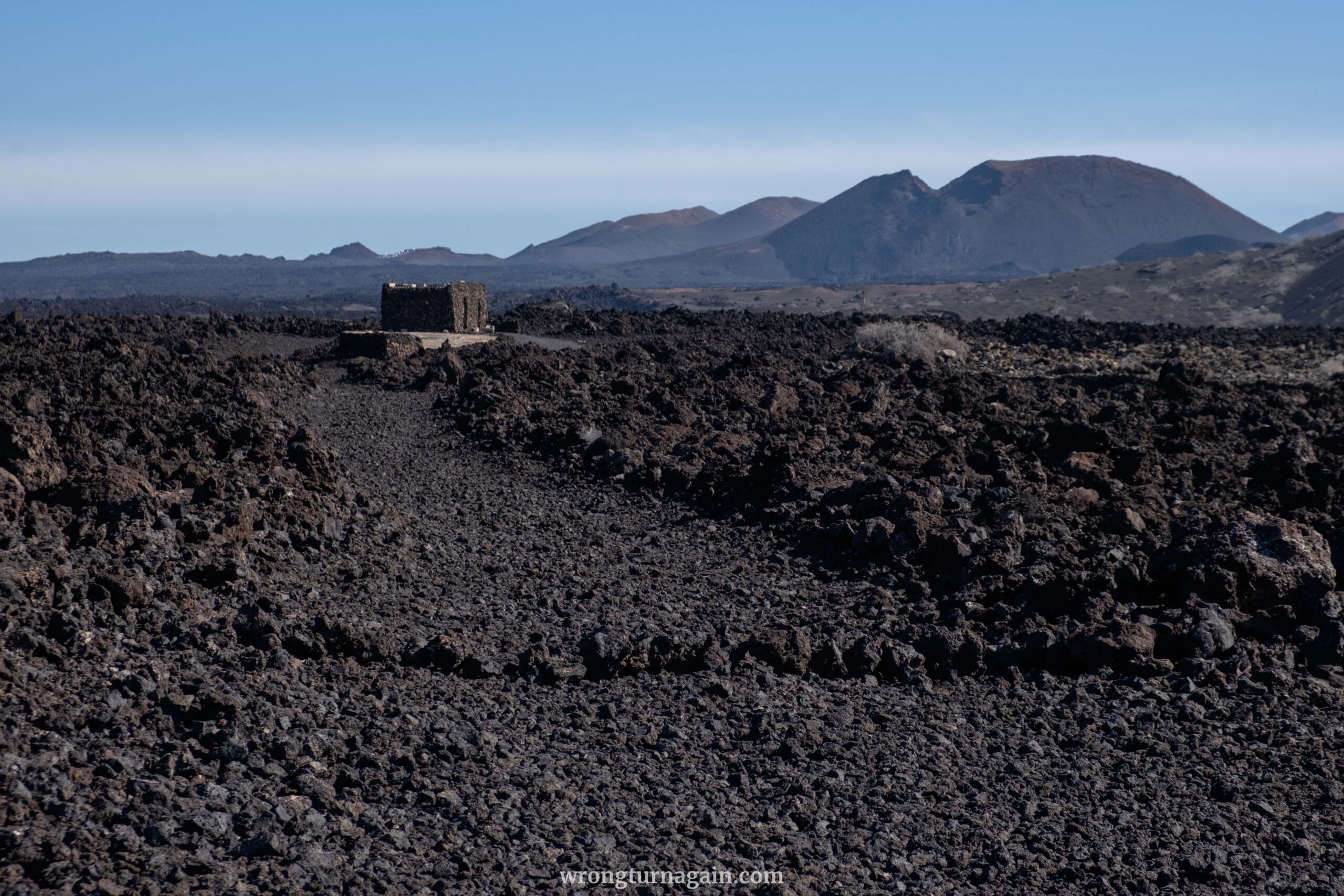
From Plaza de los Remedios, you’ll be transported by Timanfaya National Park’s minibus to the hike’s starting point at the base of Montaña Tremesana. The Termesana hike is offered in both long-distance and circular variations, each lasting approximately three hours, with an actual walking time of around one hour. The circular route typically circumnavigates the volcano clockwise from the trailhead, concluding on the east side of Montaña Tremesana before returning to Yaiza by bus.
The Landscape
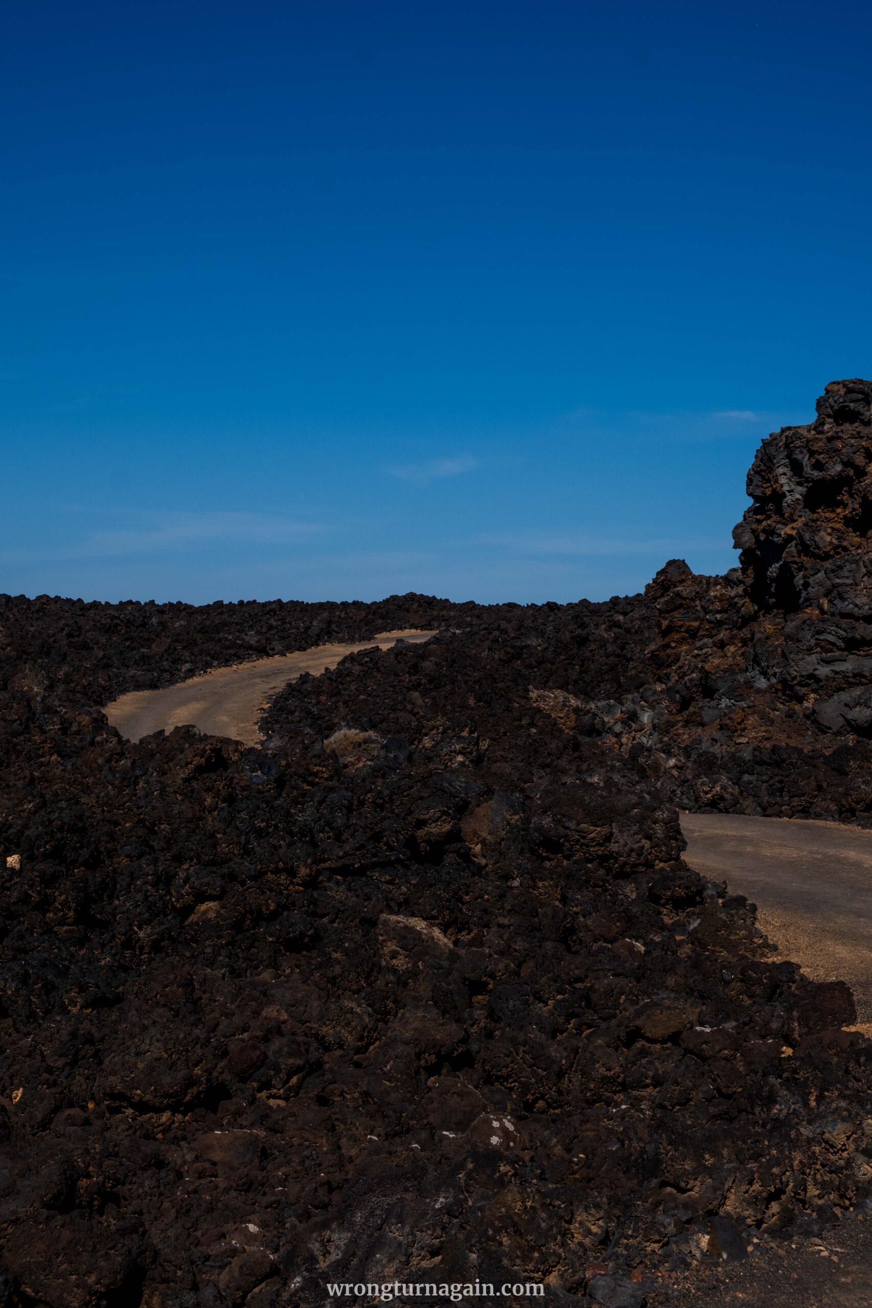
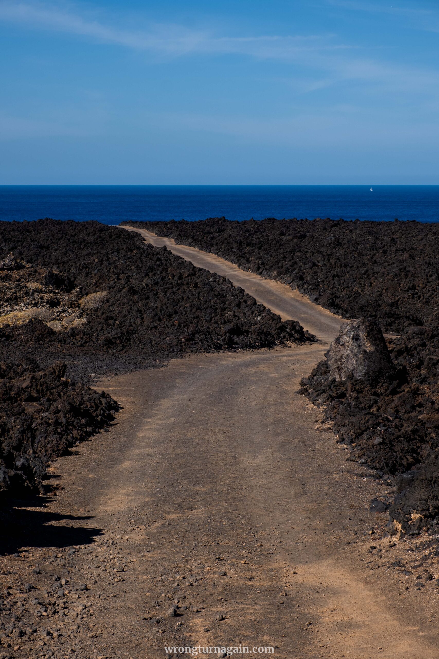
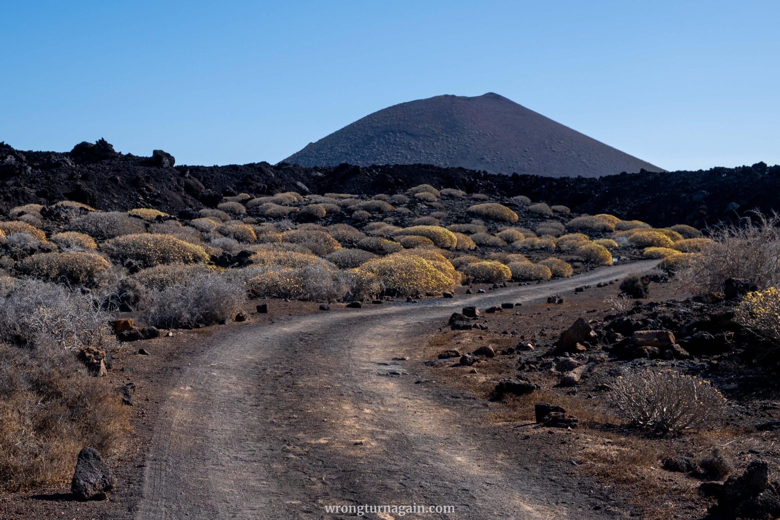
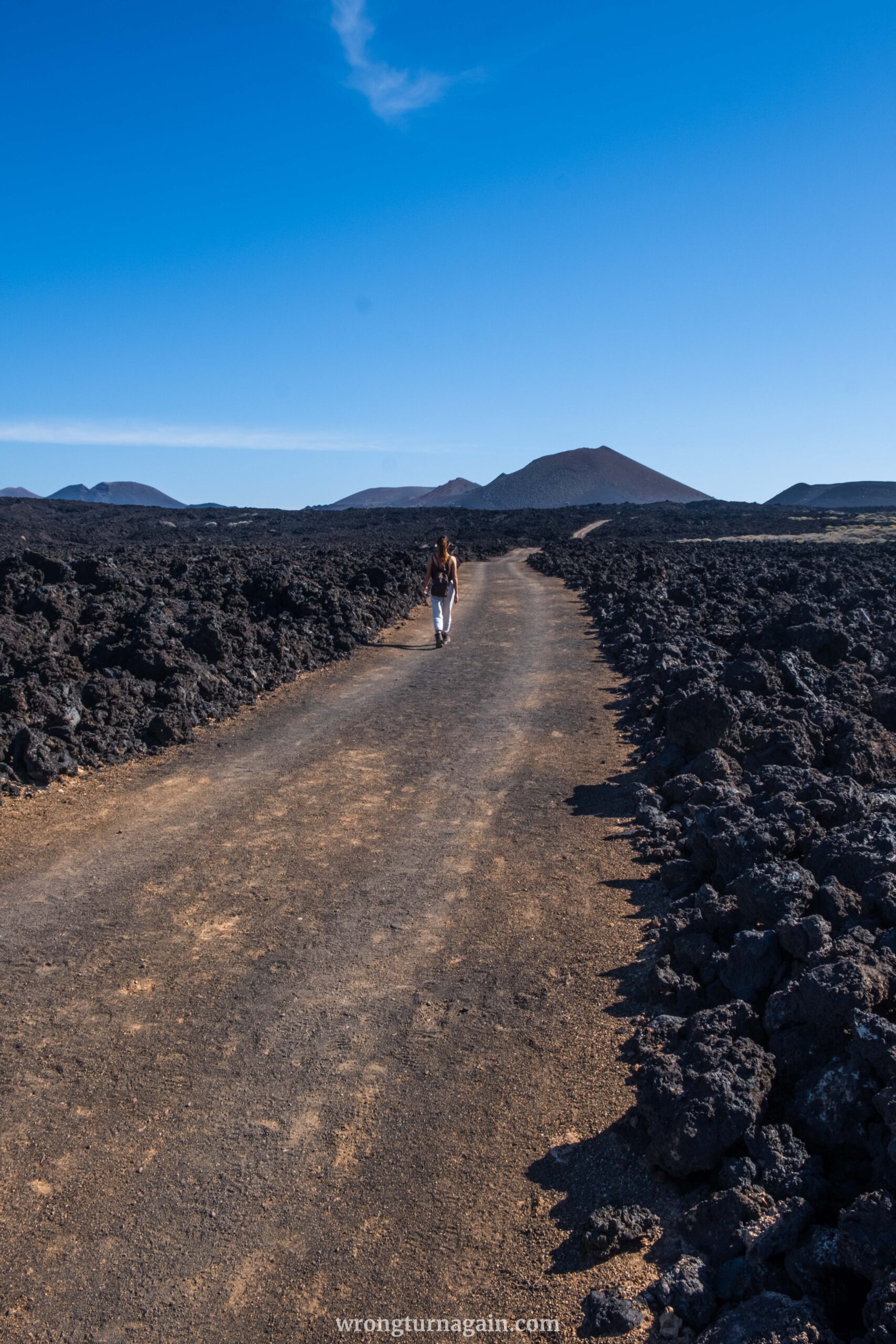
En route, towering volcanic cones, stark lava fields, and remnants of collapsed lava tunnels known as jameos dominate the landscape. Notable volcanic formations such as Montaña Hernández, Encantada, and Rajada punctuate the horizon, adding to the mystique of the surroundings.
Yet, it’s the expansive lava fields that truly steal the spotlight. Resulting from the third-largest eruption of basaltic lava on Earth, these fields encompass the majority of Lanzarote’s terrain. Your knowledgeable guide will illuminate the distinct characteristics of basaltic lava, highlighting its two primary types: pahoehoe and a’a.

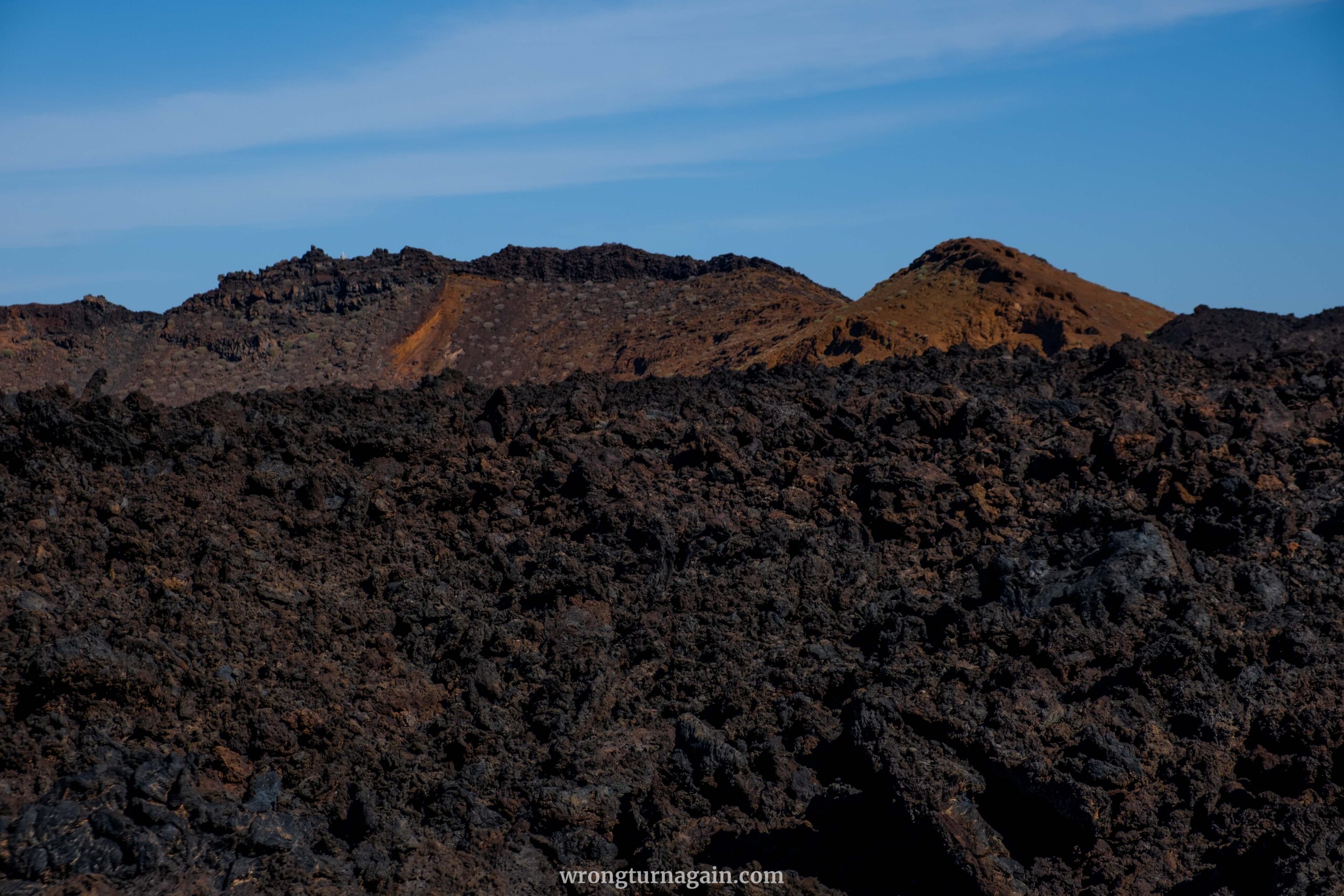

Note: Pahoehoe lava, with its smooth, ropy texture, forms as the surface cools and solidifies, while molten lava continues to flow beneath, creating undulating folds. In contrast, a’a lava exhibits a rough, jagged texture, forming as the surface cools and fragments, resulting in sharp, angular debris. A’a lava flows, thicker and slower-moving than pahoehoe, leave a lasting impression on the landscape.
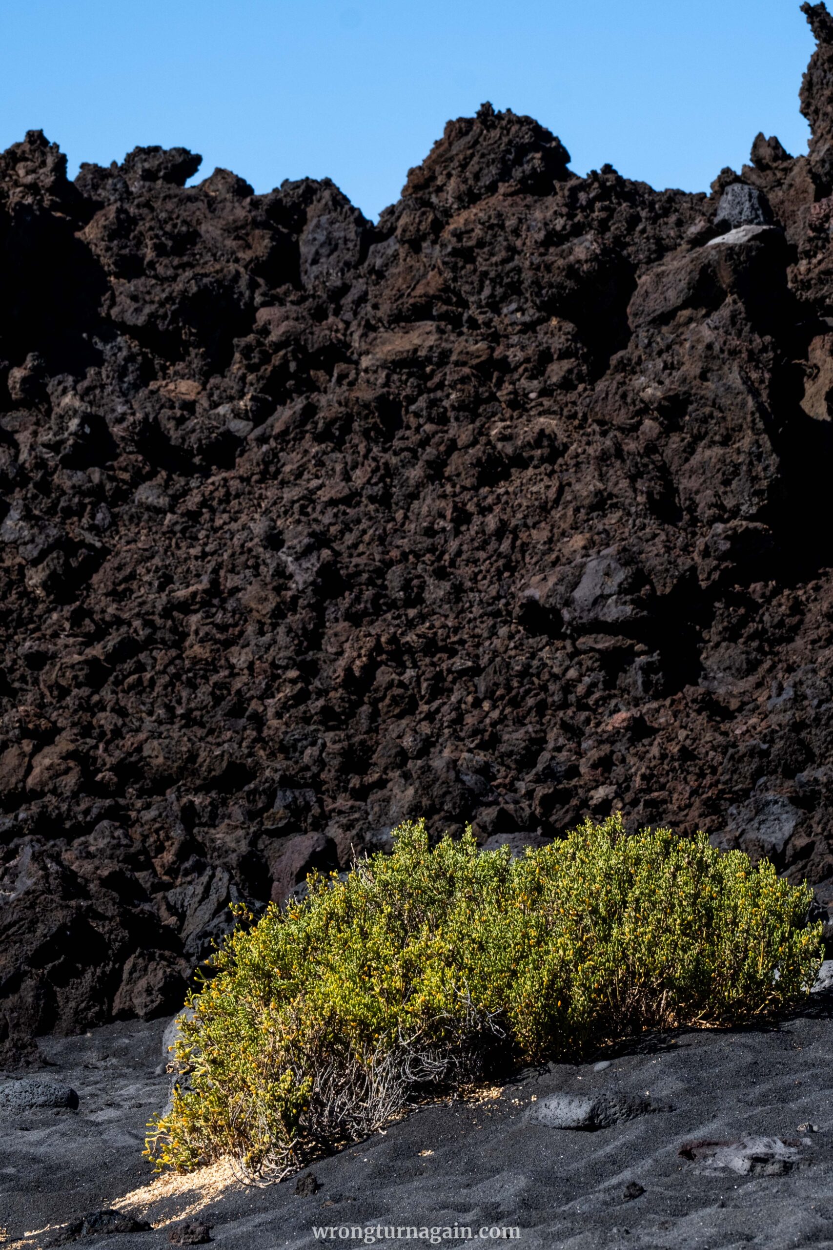
Amidst the lunar-like terrain, occasional fig trees dot the wasteland, their presence offering a surreal juxtaposition against the barren backdrop. Historically, these trees played a crucial role, with their fruits dried onsite and transported to Yaiza atop dromedaries.
How to book the tour
Registration is exclusively available online through the official National Parks website or by calling +34 928 118 042. Reservations can be made up to one month in advance, but early booking is recommended, as spots tend to fill up quickly. To secure your place, book your guided tour in English here and in Spanish here.

Ticket: The guided hike, including minibus transportation to and from the trailhead, is free of charge.
Tips for Hiking the Termesana Route
- Group size is limited to a maximum of 8 participants.
- Children under 16 are not permitted on the hike.
- Closed sports shoes suitable for uneven terrain are mandatory.
- Tours are available in English and Spanish, with language proficiency required for participation.

03. The Coastal Route
Unlike Termesana, where a guide is a must, this hike offers the freedom to explore at your own pace. It’s an awe-inspiring trail that unveils the island’s coastal wonders and offers unparalleled views of its volcanic legacy.
Stretching nine kilometers along Lanzarote’s western coast, the Coastal Route is split into two sections:
- Ruta Litoral I: Starting from either Caldera de Montaña Quemada or El Golfo village, this southern stretch culminates at Playa del Cochino.
- Ruta Litoral II: From Playa del Cochino, this northern segment leads to Playa de Madera, or vice versa for those solely tackling this section.
When tackling the coastal route, you have the flexibility to opt for a round trip of either Ruta Litoral I or Ruta Litoral II, or conquer both sections back-to-back. Just remember, if you choose the latter, plan your return journey as you’ll end up in a different spot from your starting point, requiring planning for transportation back to your vehicle. For a deeper dive:
The Ruta Litoral I Hike
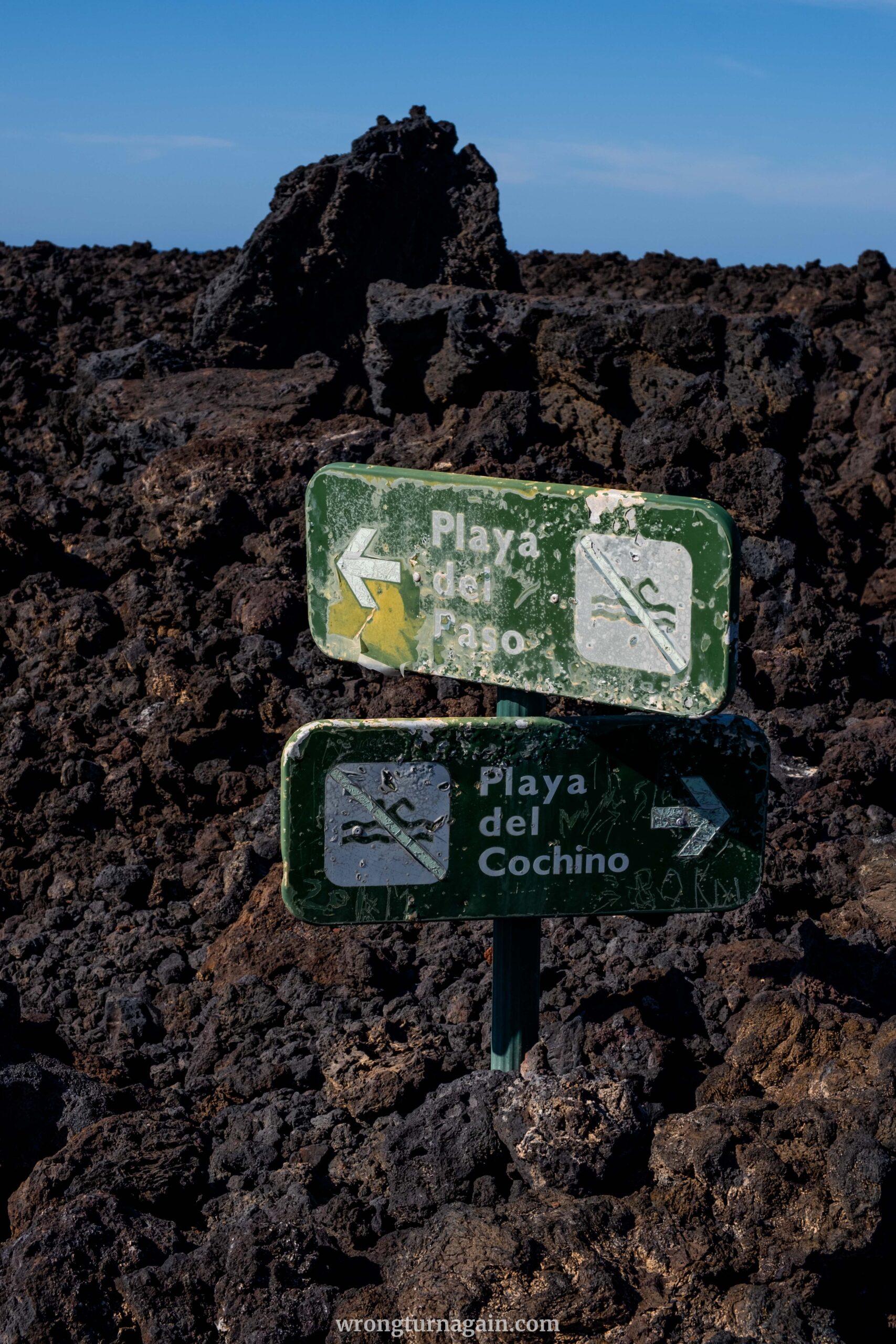
Embarking near Caldera de Montaña Quemada, just before the entrance to Timanfaya National Park, this southern leg of the coastal trail meanders through the park’s interior before reaching the junction for Playa del Paso. Continuing along the coastline, it treats hikers to awe-inspiring ocean views until arriving at Playa del Cochino.

Alternatively, visitors can start from the parking lot in the picturesque fishing village of El Golfo, accessing Sendero del Golfo for a scenic route above Playa del Paso before merging with Ruta del Litoral I.

Tip: For those not venturing onto Ruta del Litoral II, consider trekking from Montaña Quemada to Playa del Cochino and retracing your steps via Sendero del Golfo for the return journey. El Golfo’s parking lot conveniently features a pathway leading back to the starting point near Montaña Quemada, completing the loop.
The Ruta Litoral II Hike
The northern stretch of the hike either extends from Ruta Litoral I or independently begins from the wild shores of Playa de la Madera. Spanning 6 km, it navigates rugged terrain characterized by lava formations and badlands, providing a moderately challenging trek along a rough cinder path.
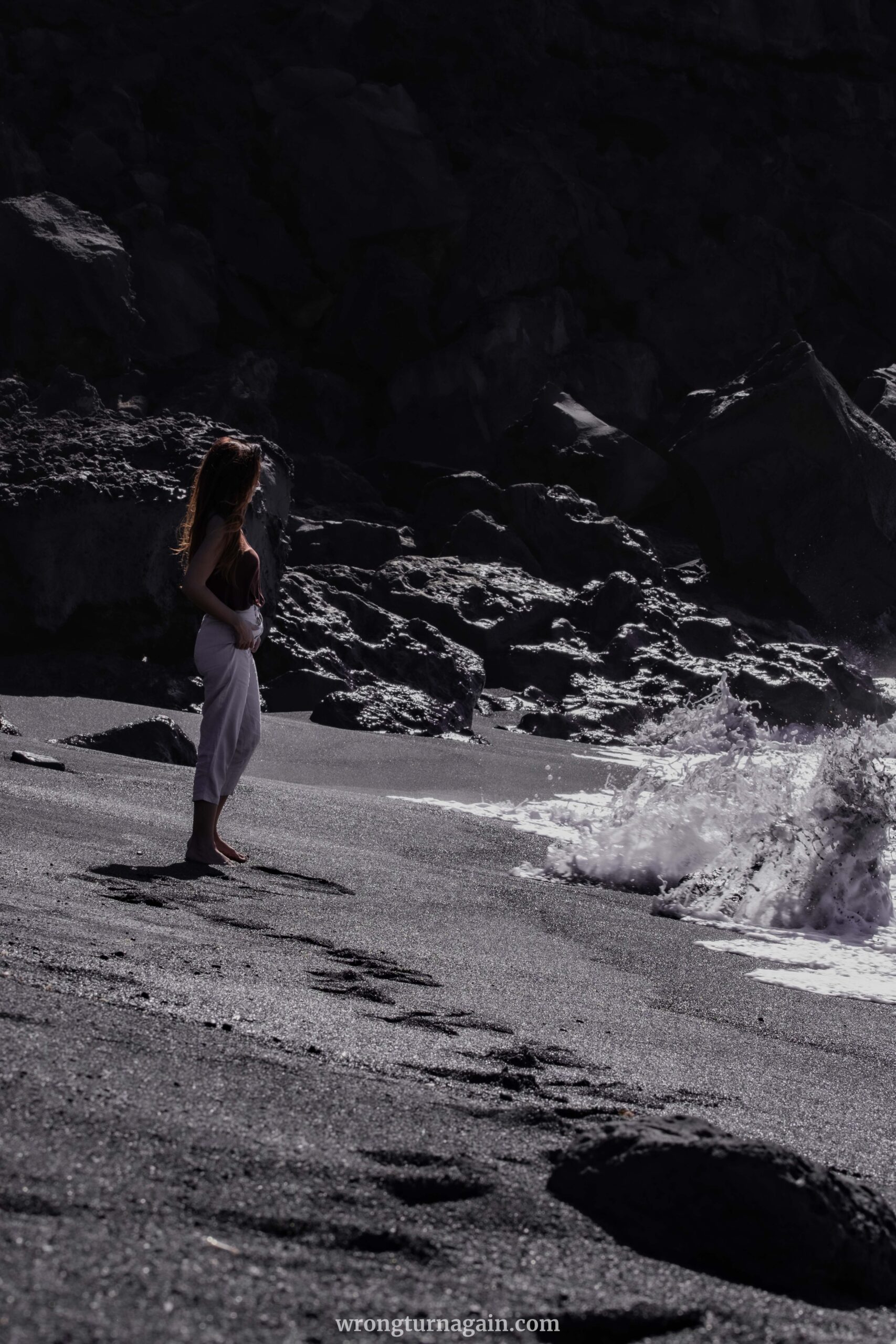
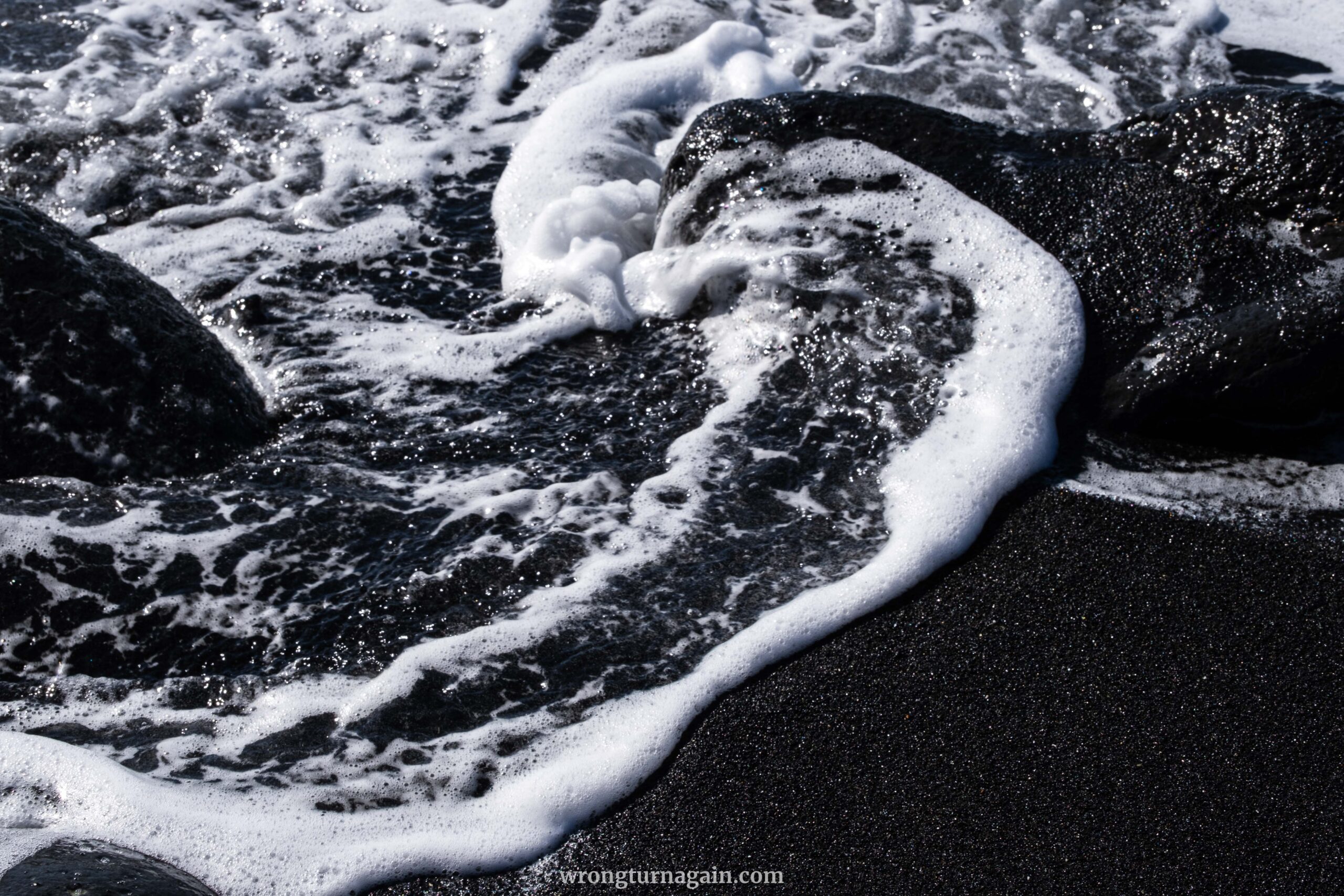
Following the park’s coastline, hikers encounter the fascinating processes of beach formation while traversing a landscape featuring various geomorphological wonders, intertidal zones, imposing cliffs, and diverse fauna.

Tips for Hiking the Coastal Route
- Preserve the trail’s integrity by refraining from taking lava pieces and carrying out your trash.
- Ensure you have sturdy footwear with good grip, along with sun protection and a hat for daytime, as well as a warm jacket for cooler evenings.
- Carry plenty of water in a reusable bottle. Tap water is not drinkable.
- Be cautious of stormy seas, as waves may reach the path.
- Check safety signs, as most beaches along the trail prohibit swimming due to strong currents.

Other Attractions in Timanfaya
Islet of Hilario
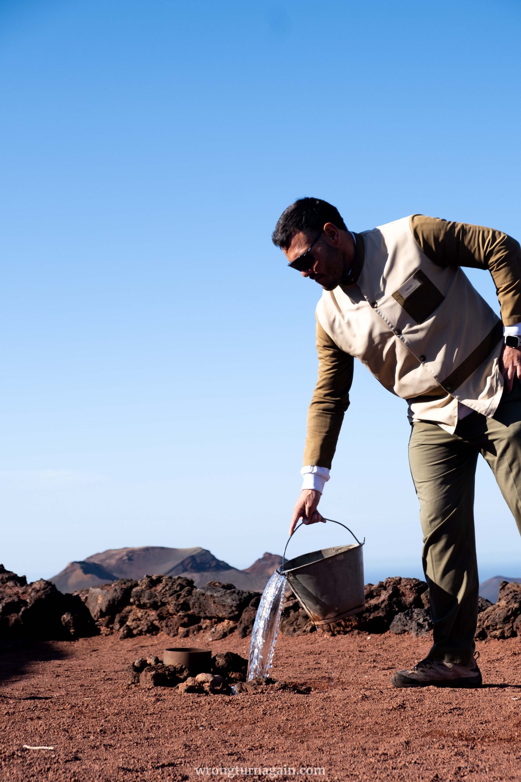
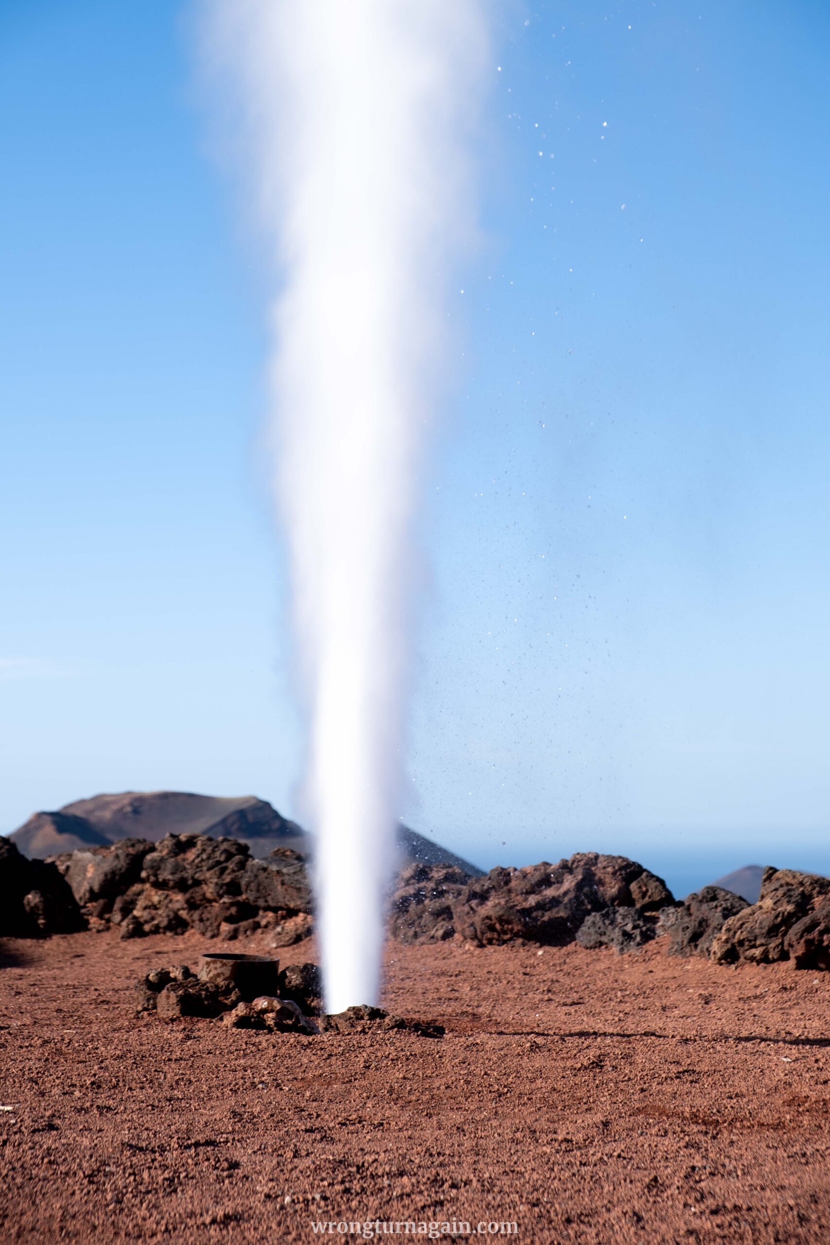
Should you choose the Volcanoes Route, the Islet of Hilario serves as your starting point for the 14km bus ride along the park’s meandering road. Before setting off, take a moment to witness the park’s staff demonstrate the geothermal activity with artificial geysers erupting from the ground.
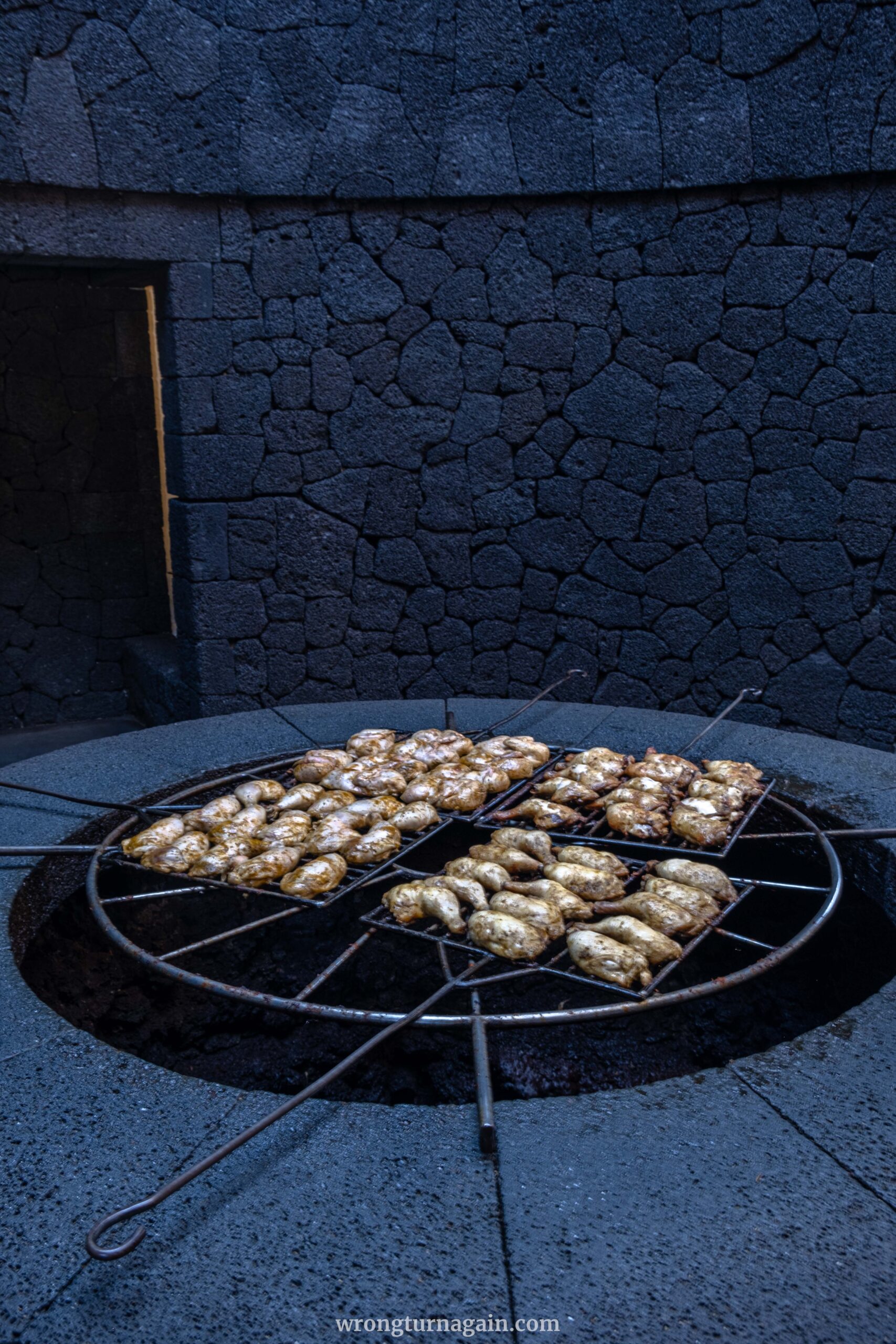

Afterwards, step inside El Diablo Restaurant, featuring a 180-degree glass window view of the park, a creation by the esteemed local artist César Manrique. While we may not recommend dining here, the innovative grill utilizing the Earth’s geothermal heat is worth a quick peek.
Camel Ride
For an exotic experience, you can explore Timanfaya National Park on camelback. Commencing at the Echadero de los Camellos (Camel Farm) situated along the LZ-67 road on the park’s eastern boundary, you will traverse the enchanting landscapes along the southern slopes of Timanfaya mountain aboard your camel. Each one accommodates two riders and the guided tour takes approximately 20 minutes.

Book your camel ride tour here.
Visitor Interpretive Centre
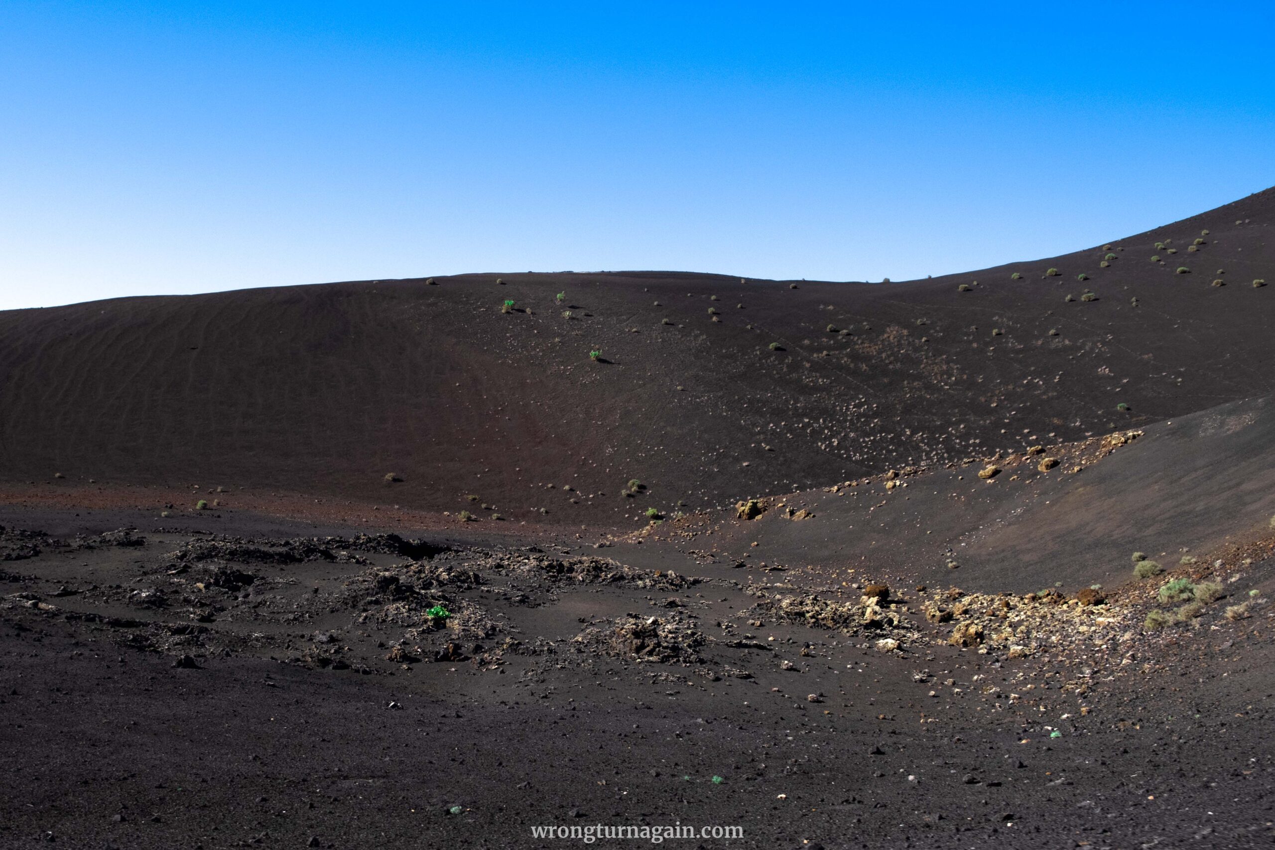
An interesting stopover, the Visitor Centre in Mancha Blanca offers complimentary access to an enlightening exhibition and an audiovisual presentation that sums up, in 30 minutes, the dramatic events that shook the island of Lanzarote in the 18th century. Particularly compelling is “La Cueva” (The Cave) segment, which artfully recreates the immersive experience of enduring such monumental events firsthand.

| Operating Hours : Daily, from 9:00 to 16:00; Free entrance

Best Places to Eat
While dining at the famous Restaurante El Diablo inside the park may seem an obvious choice for those on the Ruta de los Volcanes, we recommend seeking a more authentic experience in the villages of Tajaste or Tinajo.
If you’re hiking Ruta Litoral I, indulge in fresh seafood at the charming fishing village of El Golfo. Meanwhile, those on Ruta Litoral II can pause for a meal in Tinajo or venture 5km north to La Santa, home to one of the island’s culinary gems.
Here are some of our favorite spots:
- Bodegas Guiguan S. L., Tajaste: savor exquisite wines crafted using traditional winemaking techniques and locally sourced grapes.
- Cervecera Malpeis, Tinajo: vibrant vibes and great food at this artisan brewery taphouse.
- Majo Picón, Tinajo: authentic Spanish fare in a cozy local bar; reservations recommended.
- Café Antigua Escuela, Yaiza: a quaint spot for tapas or coffee in a charming courtyard setting.
- Casa Rafa, El Golfo: outstanding casual seafood dining with sea views, but check its limited opening hours.
- Restaurante El Barquillo, La Santa: also known as El Sótano (the cellar), this spot served our trip’s best seafood. Arrive early; it’s first-come-first-served.

Where to Stay near Timanfaya
Lanzarote’s compact size makes it easy to access Timanfaya National Park from anywhere on the island, especially if you’re traveling by car. However, if you prefer to be pretty close to the park, there are optimal lodging options to consider.
For those embarking on Ruta de Los Volcanes, staying in Tajaste, Mancha Blanca, or Yaiza ensures you’re near the park entrance before it opens. Similarly, Yaiza serves as the ideal base for the Termesana Route, with the park’s minibus conveniently picking you up from there.
If you’re planning to hike Ruta del Litoral I, consider staying in the quaint fishing village of El Golfo. Not only is it scenic, but it also offers excellent dining options for indulging in fresh seafood. Make the most of your stay by visiting Charco de los Clicos early in the morning to avoid the crowds.

Where to Stay: Casita Blanca, Mancha Blanca ~ Hotelito Rural Flor de Timanfaya, Tajaste ~ La Orilla del Volcán, Yaiza ~ Hotelito La Era B&B, Yaiza ~ Salitre Apartamento, El Golfo ~ Estudio Andrea, El Golfo
For those exploring in a campervan, parking options include Los Hervideros, Mirador del Charco Verde, or Costa del Janubio. We recommend Costa del Janubio for its picturesque setting, unlike the others, which feel more like standard parking lots.

Best Time to Visit
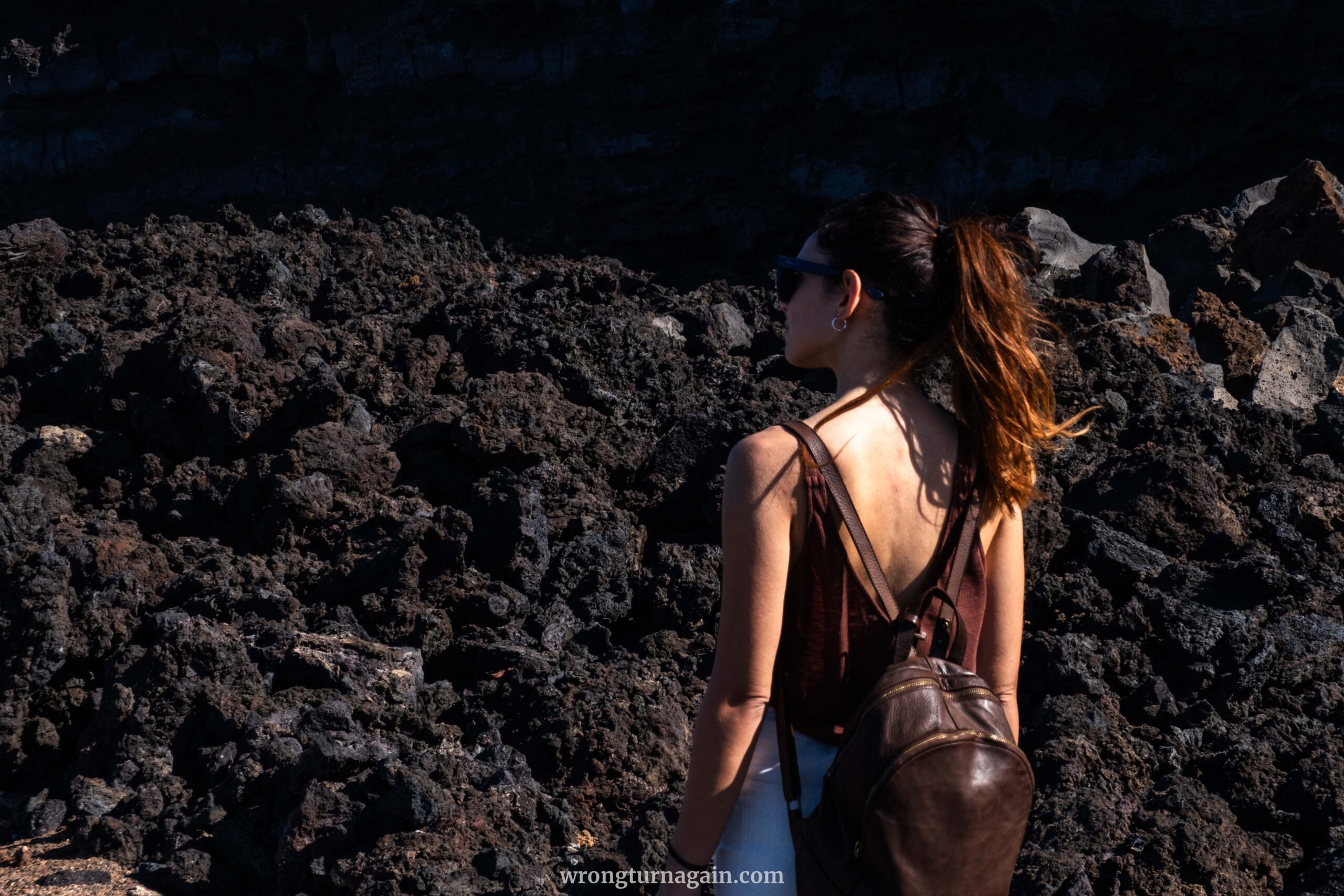
For the best experience, plan your visit to Timanfaya National Park during the cooler months from October to April. During this period, temperatures are more comfortable for outdoor activities, allowing you to fully enjoy the rugged terrain without the intense heat of summer.
To avoid crowds, aim to visit Ruta de los Volcanes in the early morning, ideally arriving before the park opens at 9 a.m. Be prepared for queues at the entrance, even at this hour. For coastal hikes, late afternoon presents ideal lighting conditions for capturing breathtaking photos of the volcanic landscapes against the backdrop of the setting sun.

If you’re visiting during peak tourist seasons such as Easter or Christmas, be sure to book your car rental and accommodation well in advance to secure your spot.