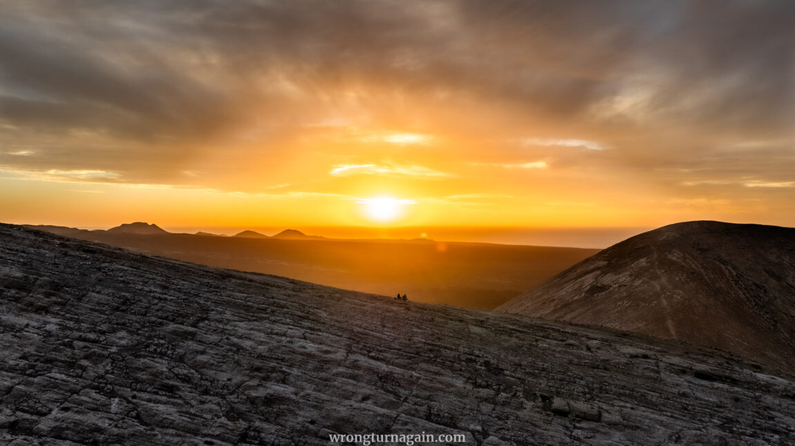
Caldera Blanca isn’t your average volcano; it feels like it’s straight out of a Martian adventure. With over 3000 years of history etched into its rugged terrain, and its jagged white limestone peaks contrasting against Lanzarote’s fiery Fire Mountains, it’s the one volcano you should not miss during your visit to the island. So, if you venture to ascend its 458-meter rim, prepare to be spellbound by a panorama of craters and molten fields stretching to the very edge of the horizon.
Feeling the thrill? Let’s dive into the adventure, one step at a time.

About Caldera Blanca
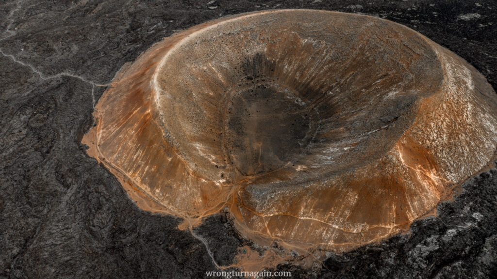
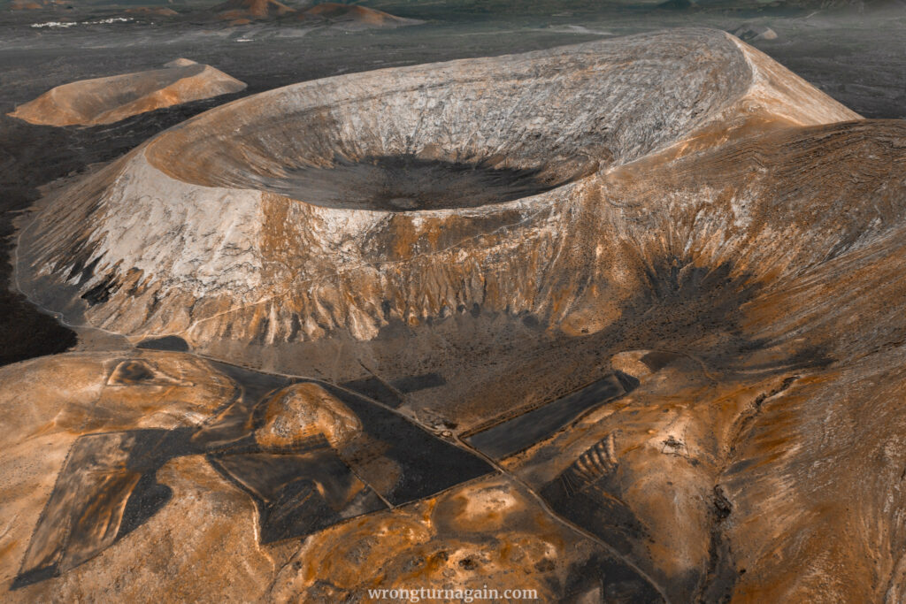
Situated in the Tinajo municipality of Lanzarote, Caldera Blanca emerged from the tumultuous eruptions that swept across the island between 1730 and 1736. It boasts impressive dimensions, with a diameter stretching approximately 1.2 kilometers, an average depth of 150 meters, and a peak reaching around 458 meters above sea level.
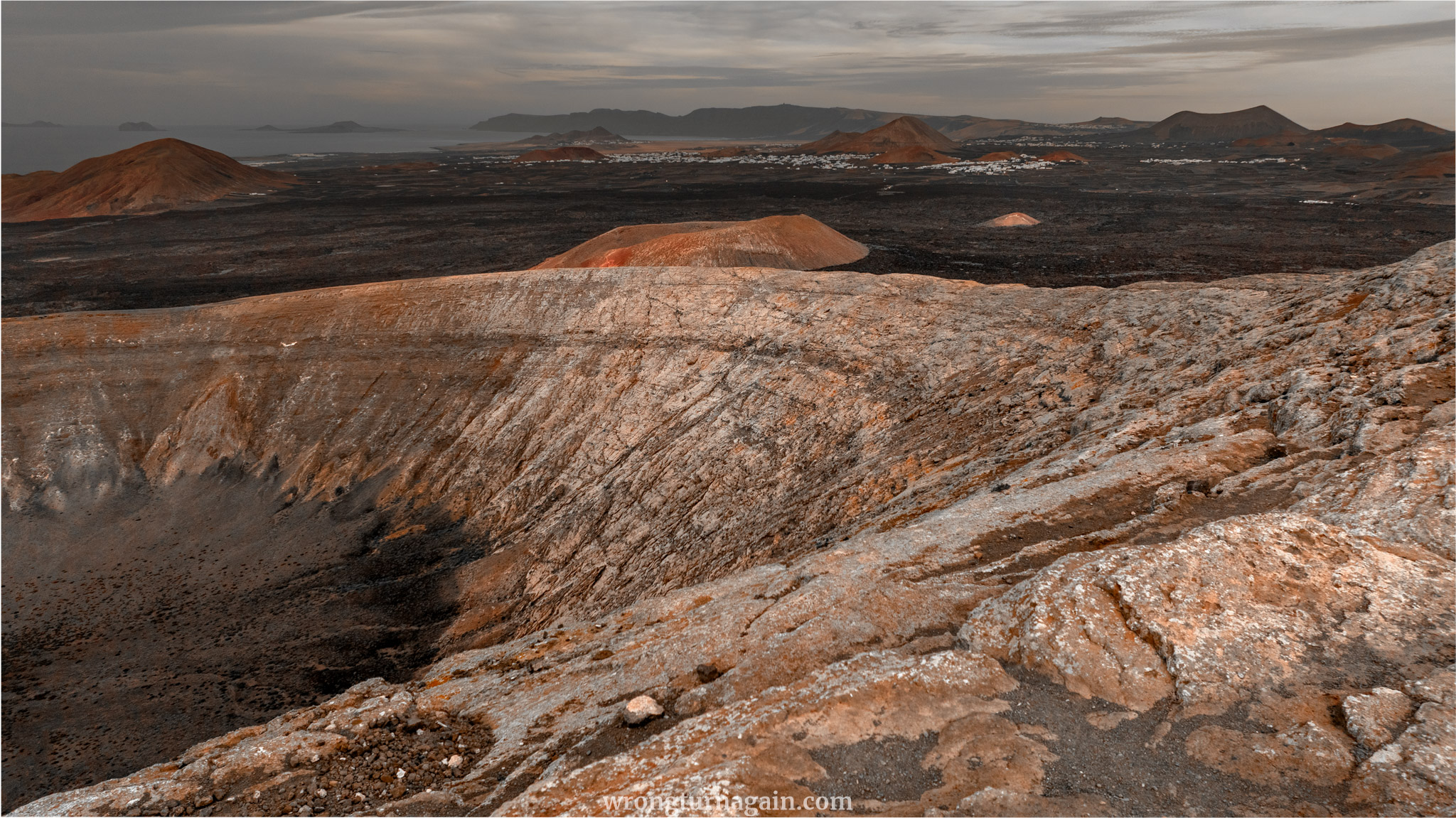

Its name, “White Cauldron” in English, comes from the bright color of the lichens thriving around the volcano, which contrasts with the dark volcanic landscape.
Both Caldera Blanca and its neighboring smaller volcano, Caldereta, are classified as “islets” (islotes), elevated areas that escaped complete lava coverage during previous eruptions. This unique feature allowed them to preserve soil and vegetation. Additionally, the concave shape of these volcanoes facilitated the collection and retention of rainfall, creating fertile pockets within Lanzarote’s typically arid landscape. As a result, they became vital hubs for activities such as livestock rearing and agriculture.
The natural allure and geological significance of Caldera Blanca have earned it a spot in the protected Los Volcanes Natural Park. However, unlike the neighboring Timanfaya National Park, where stricter rules apply, Caldera Blanca can be freely visited without permits.

Hike Overview
Before diving into the intricacies of the hike, let’s orient you to the surroundings. On the map, Caldera Blanca sits west of the village of Mancha Blanca and southwest of Montaña Teneza. Zooming in, you’ll find Caldera Blanca nestled between the volcanic ensemble of Risco Quebrado and Casas del Islote to its west and the smaller Caldereta volcano to the east.
As for accessing the trailhead, it’s conveniently reachable by either car or public transport, a short distance from the village of Mancha Blanca, where a dedicated parking area awaits hikers.
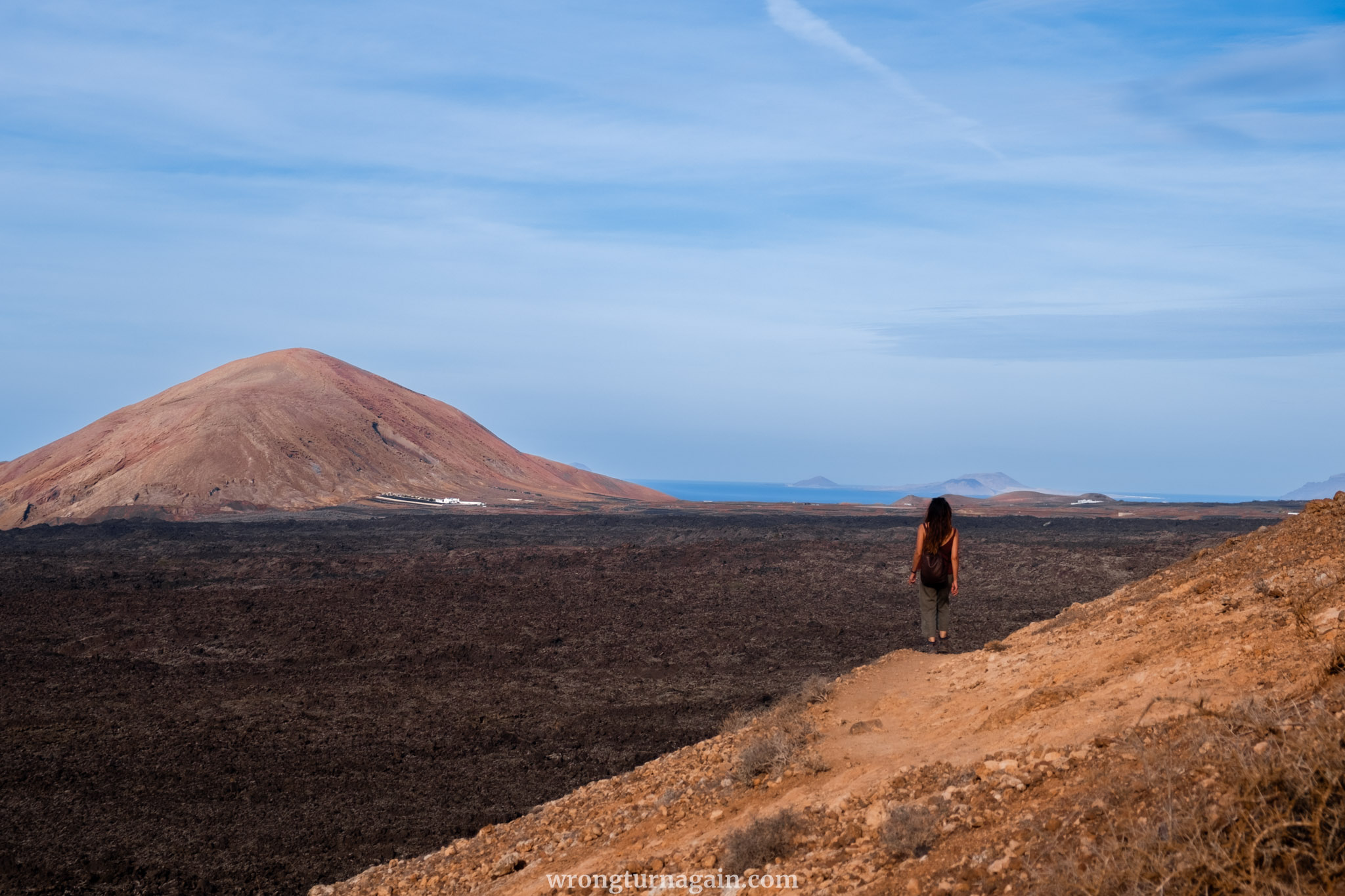

The journey advances along a volcanic nature trail, initially guiding you to the crater rim of the smaller Caldereta volcano before commencing the ascent towards Caldera Blanca’s rim. Once atop the rim, a circumnavigation of the caldera rewards you with sweeping panoramic vistas. The descent unfolds on the opposite side via another trail.
Distance & Difficulty: This is a loop trail meandering through a volcanic landscape, spanning approximately 9km and typically requiring about 3 hours to complete. Generally categorized as moderate, the route is predominantly flat, save for the ascent towards Caldera Blanca after the Caldereta climb, which constitutes the only significant incline of about 220m. Exercise caution during the initial 1.5km of descent, as you’ll descend roughly 300m; thereafter, the hike remains mostly on level terrain.

How to Get to the Trailhead
Caldera Blanca is situated in the municipality of Tinajo, just a short distance away from the village of Mancha Blanca. Accessing the trailhead by car is convenient, with parking available right at the trailhead. For those opting for public transport, taking a bus from Arrecife and disembarking at Mancha Blanca will lead to a 20-minute stroll to the trailhead.

Note: Officially, the trail initiates at the church of Ermita de Los Dolores, marking the termination point of one of the lava tongues from the Timanfaya volcano. However, this segment primarily traverses through the village and can be skipped if preferred.
By Car
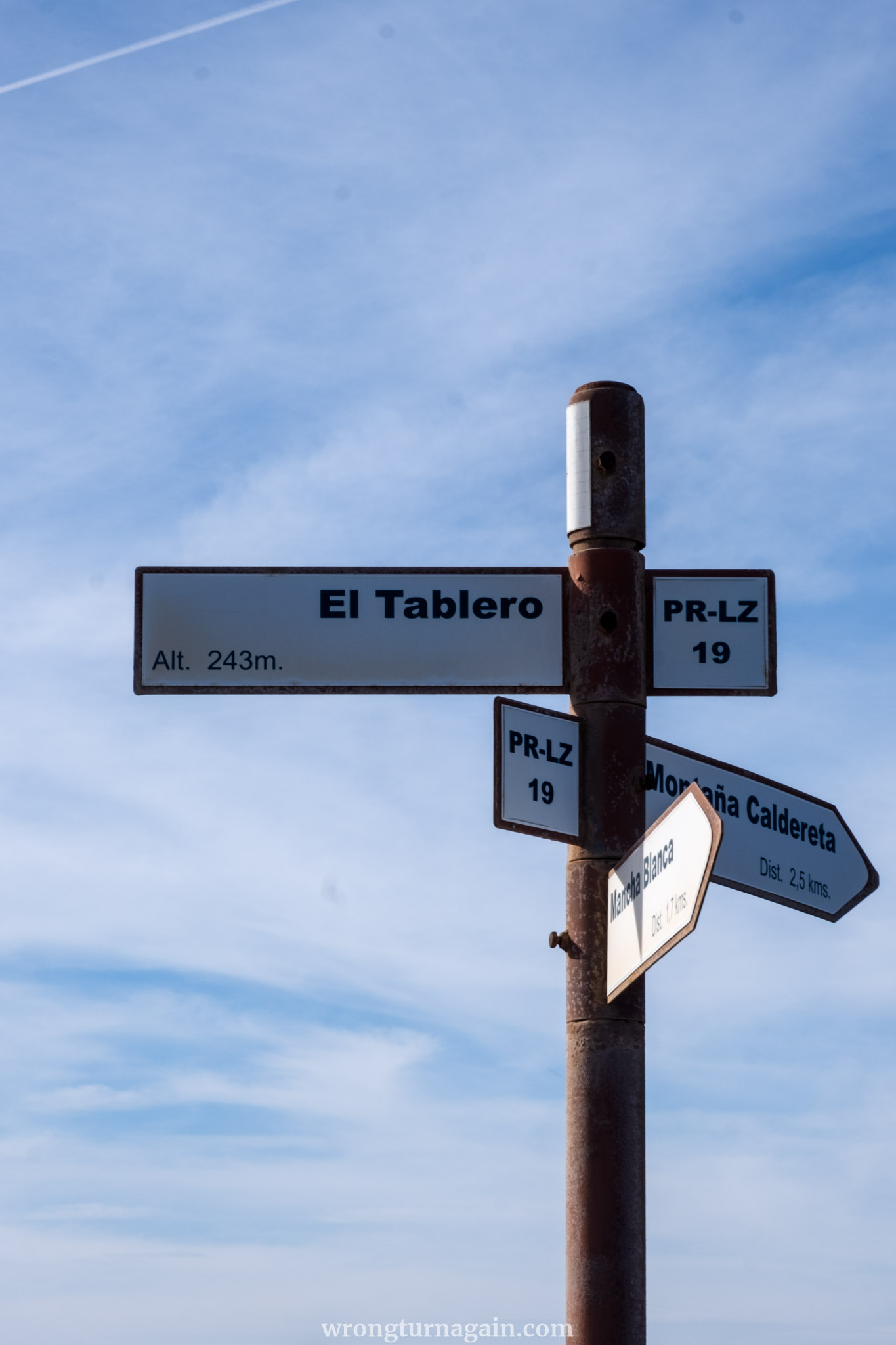
To commence your journey by car, make your way to the village of Mancha Blanca. From there, follow the LZ-67 road until it intersects with Camino al Cráter (PR-LZ 19), a dirt road leading directly to the trailhead.
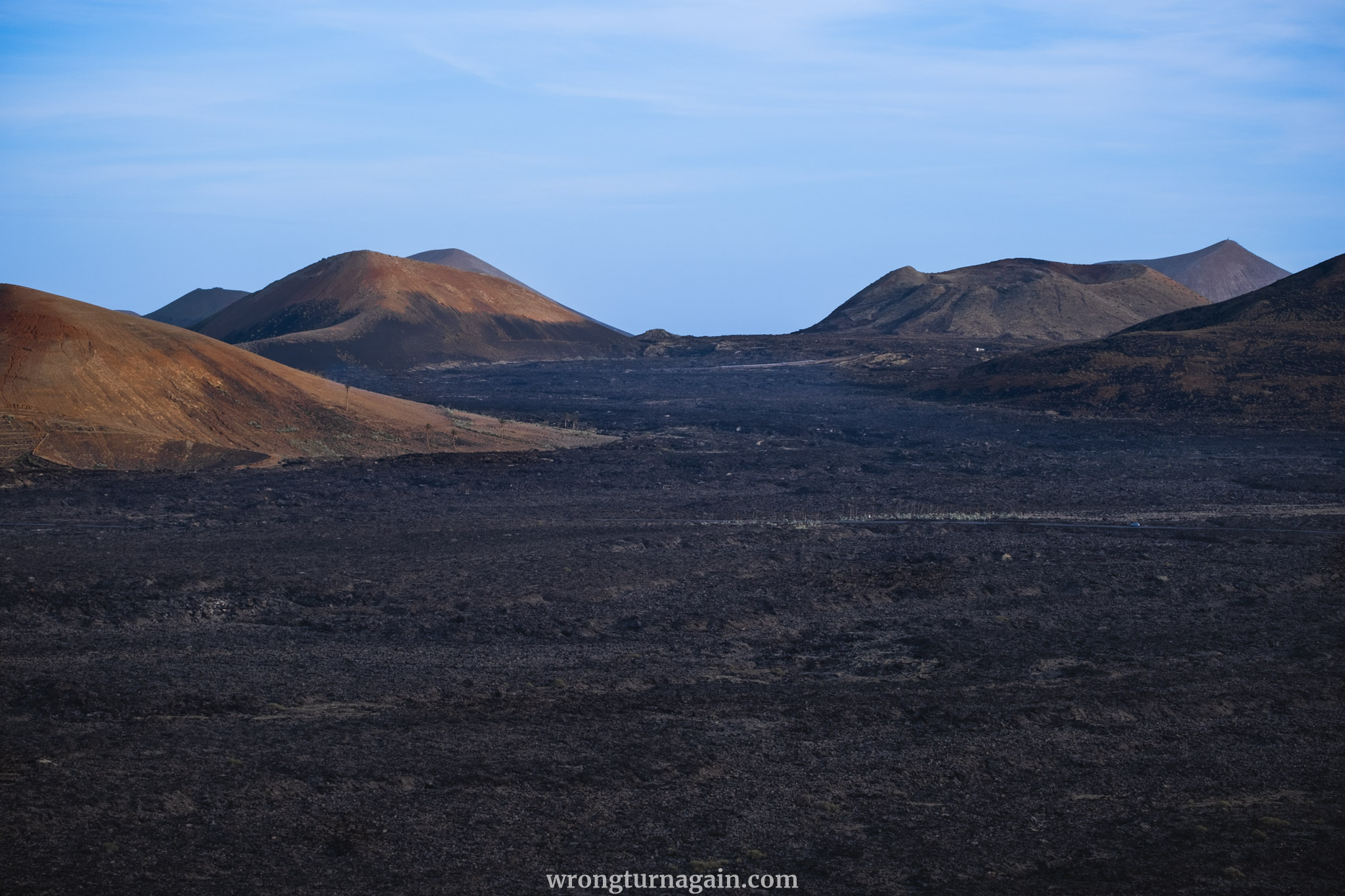
For travelers arriving from the southern regions of the island, such as Playa Blanca, El Golfo, or Yaiza, a scenic drive through the Timanfaya National Park is in order. After passing the visitor center (Centro de Visitantes), keep an eye out for a dirt road veering left approximately 1.5 kilometers before reaching Mancha Blanca.

Parking: Follow the dirt road for just under 1km until you arrive at the designated parking area. In the event the parking lot is full, an alternative option is to return to Mancha Blanca and park there. Depending on your chosen parking spot within the village, this may add 10 to 20 minutes to your hike.
By Public Transport
From Arrecife, hop on Bus #16 heading towards La Santa and disembark at the Teleclub De Mancha Blanca stop. Upon alighting, head south for approximately 50 meters. At the crossroads near the sports field, follow the LZ-67 road in the direction of Centro Cultural / P. N. Timanfaya, slightly descending.
| Bus Route: Arrecife > San Bartolomé > Tiagua > Mancha Blanca > Tinajo > La Santa
Continue along LZ-67, walking on the pavement and always keeping to the right side of the road. After roughly 550 meters, you’ll encounter a signpost indicating your departure from Tinajo. For the next 200 meters, you’ll need to walk on the road itself, as there is no designated pedestrian zone.
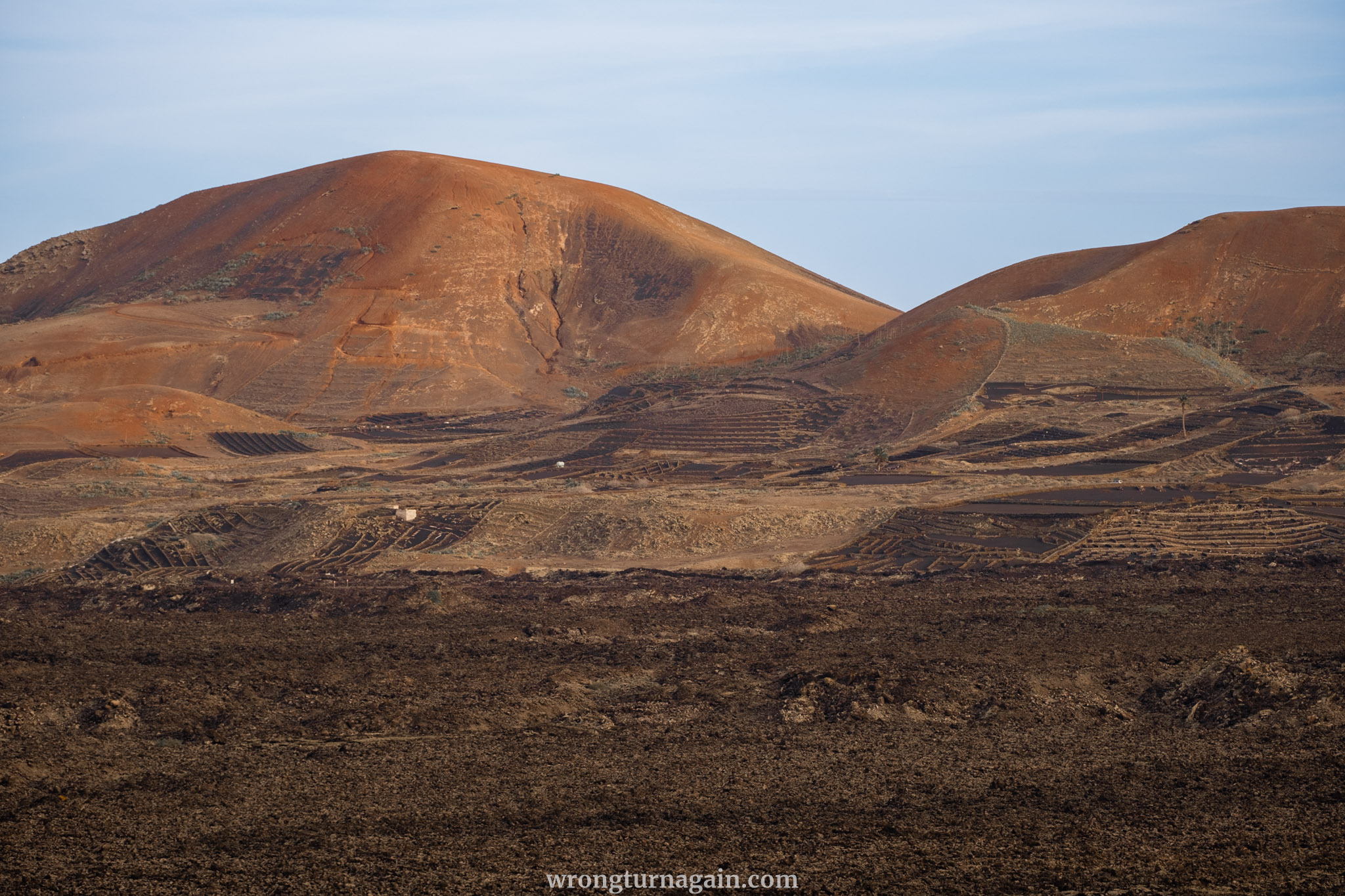
Eventually, you’ll reach a small tarred road sharply turning right at an acute angle. Here, the dirt road commences, leading you straight ahead for 700 meters until you arrive at the parking lot, which is the starting point of your hike.

This route spans approximately 1.5 kilometers or about 20 minutes one-way, encompassing 600 meters on pavement, 200 meters on the road, and 700 meters on the dirt road.

The Hike
Section 1 – Reaching the Caldereta
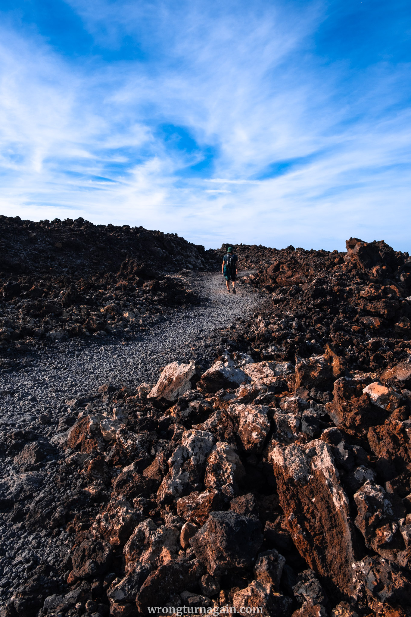
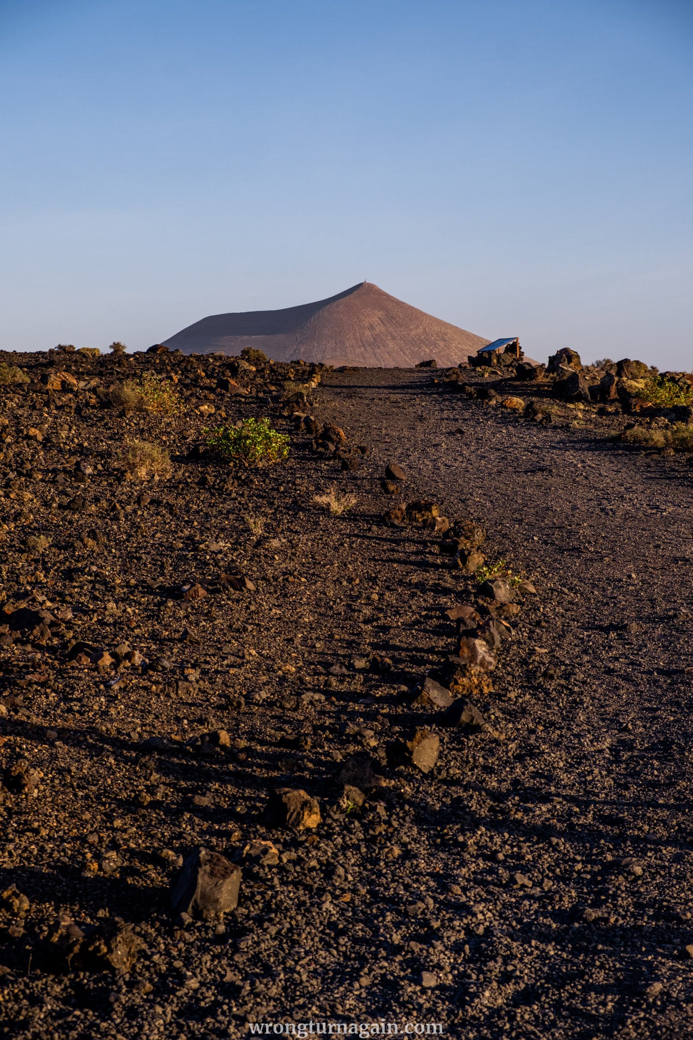
Embarking from the parking lot, you step onto a cinder path that gently undulates through the surreal volcanic terrain towards the Caldereta volcano, set against the backdrop of Caldera Blanca. This segment of the trail is thoughtfully curated as a volcanic nature path.
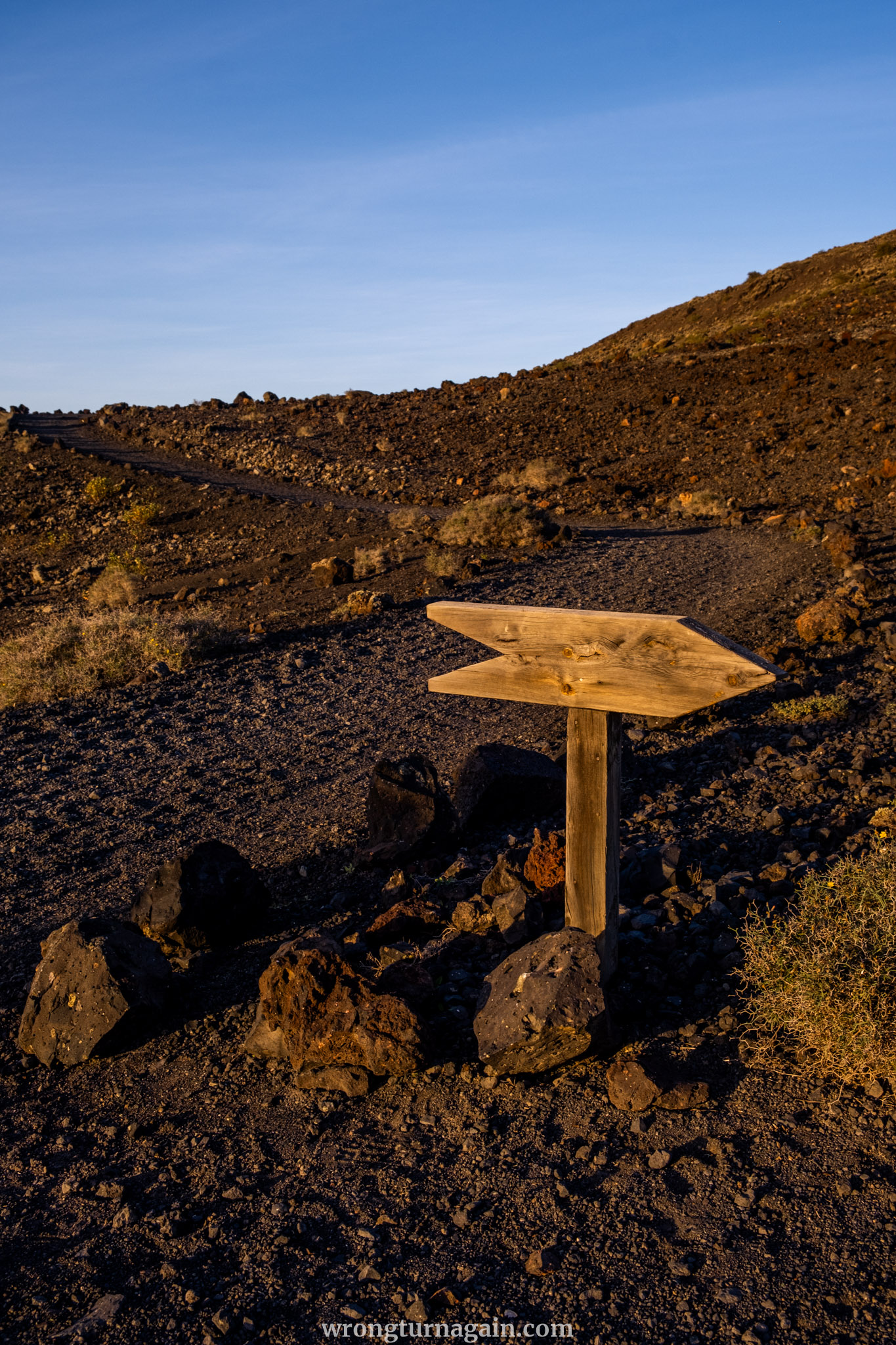
Within five minutes, an informative board beckons your attention towards a lava flow, prompting you to veer to the right. Fifteen minutes thereafter, past a sign marking the presence of the Caldereta, a diverging path to the left leading towards the crater is bypassed.
Approximately 80 meters ahead, the path diverges once more, with the lower path chosen for continuation. Here, the lava formation extends up to the base of the crater, leaving a navigable pathway.
As you proceed, you’ll encounter a junction marked by remnants of stone huts; to the left, the rim of La Caldereta volcano comes into view. Pause to admire the expansive crater, spanning 300 meters in diameter, or opt to follow a trail leading into its depths.

Tip: While La Caldereta reaches a peak of 324 meters, ascending it is unnecessary as your hike will ultimately lead to its highest point.
Section 2 – Ascending to the Summit of the Caldera
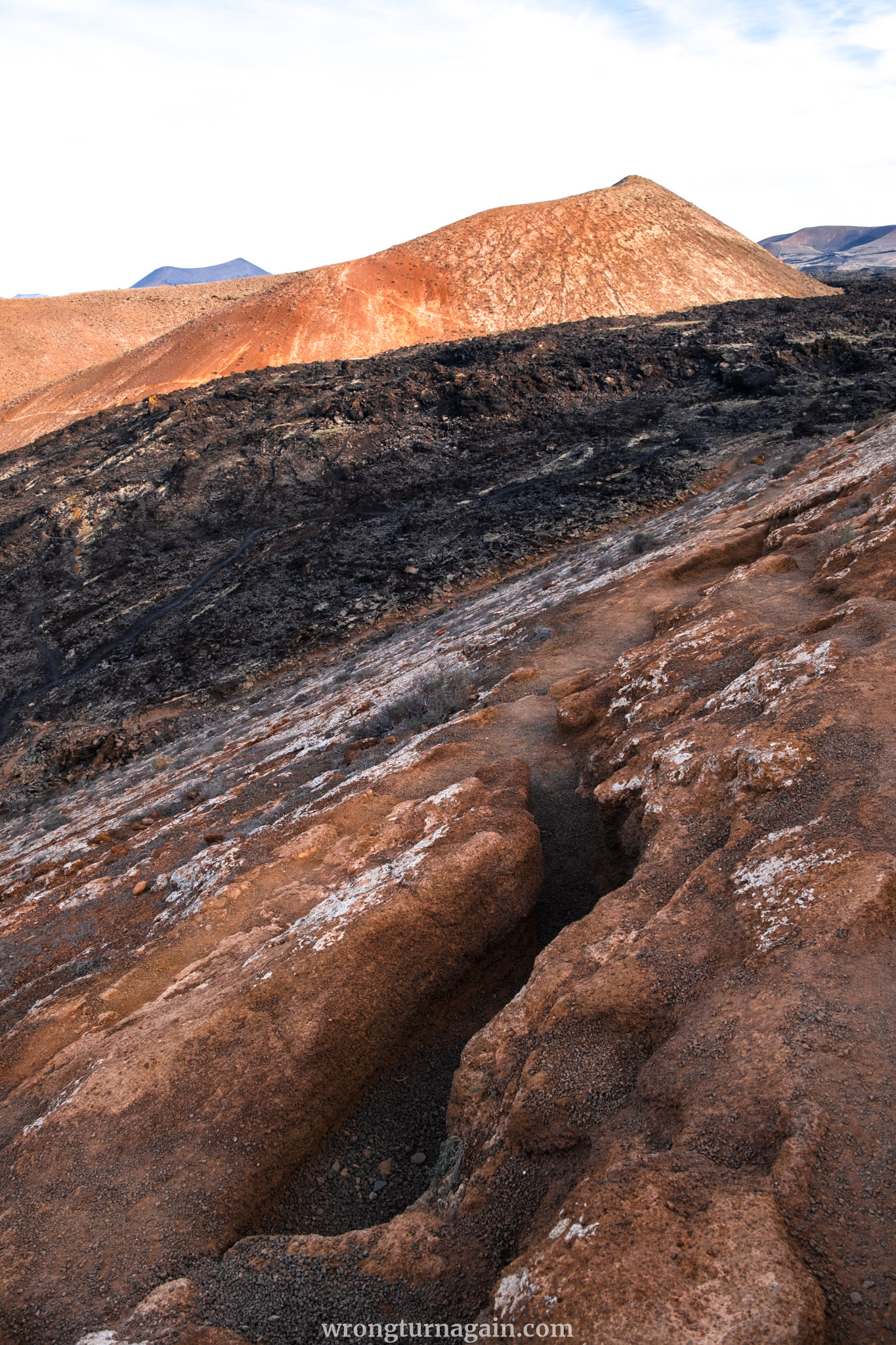
Having explored the crater of La Caldereta, pivot with the caldereta at your back and set forth along the leftward path ascending the western flank of the volcano. About five minutes past the stone huts, the terrain transitions back to lava. On the right, a trail marked by cairns meanders through a narrow lava flow, occasionally crossing over lava slabs en route to Caldera Blanca.
— Note —
This stretch of the hike, bridging La Caldereta and Caldera Blanca, traverses the region of most concentrated lava accumulation. The rationale behind this abundance is straightforward: both volcanoes serve as “islets” (islotes), elevated areas spared from the eruptions of neighboring volcanoes during the tumultuous period between 1730 and 1736.
Consequently, the lava, impeded by the narrow passage between the volcanoes, amassed in significant quantity here. Furthermore, this sector later endured subsequent eruptions, further augmenting the lava deposits.
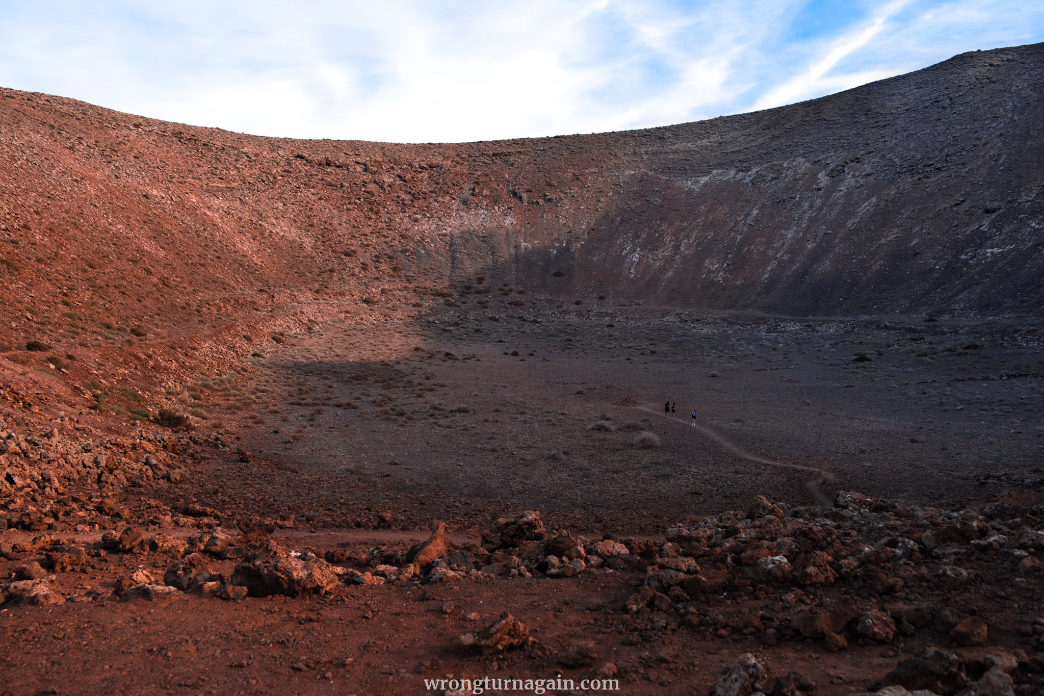
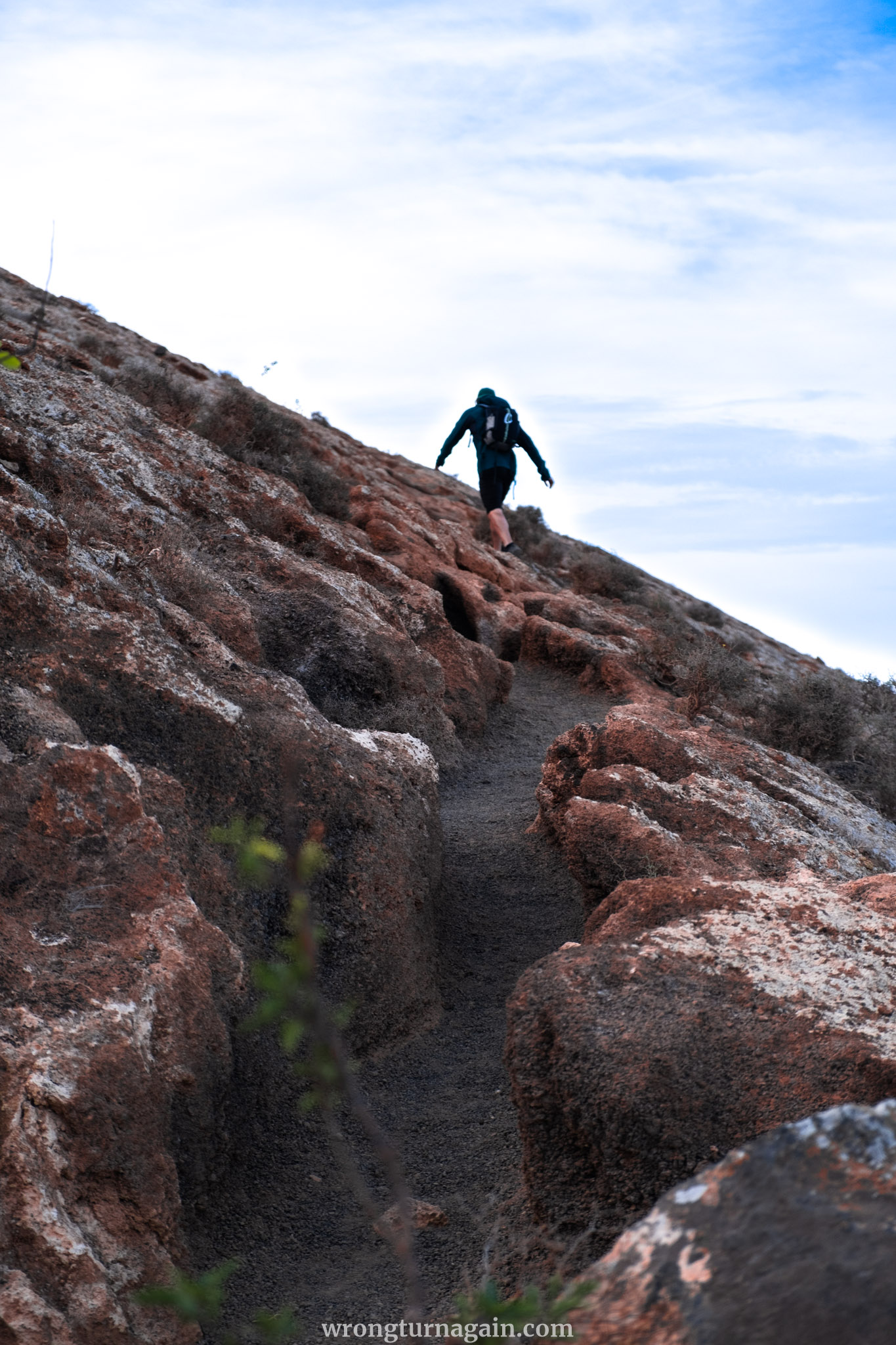
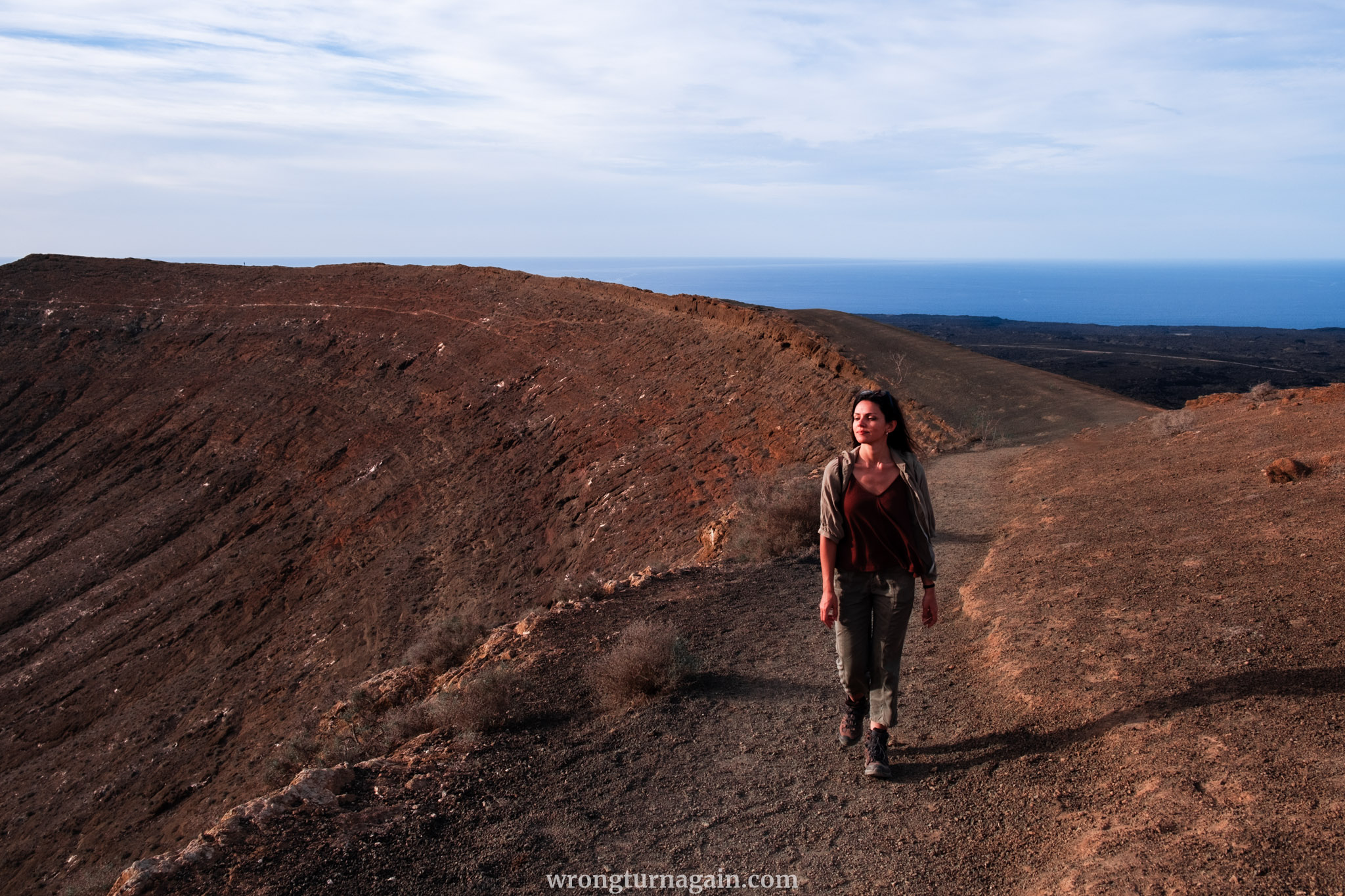
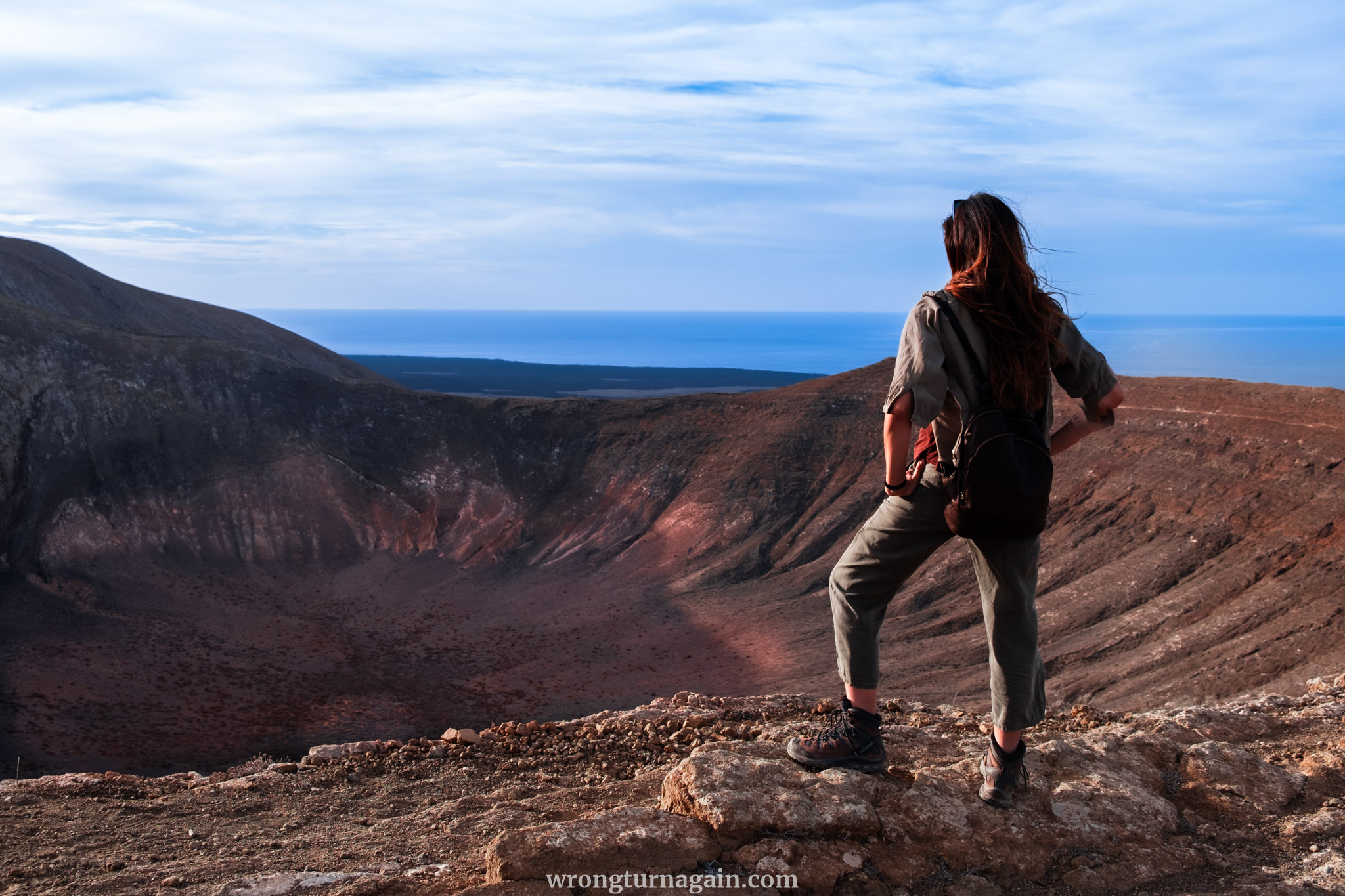
At the base of Caldera Blanca, veer right and proceed approximately 25 meters until you encounter a clearly defined path ascending diagonally towards the caldera’s edge. Eventually, you’ll reach the rim of the crater, offering a breathtaking panorama of the caldera’s expansive cauldron spanning 1,200 meters in diameter.

Tip: Throughout the ascent, marvel at the striking contrast between the dark expanse of lava and the whitish slopes of the volcano. The presence of lichens accentuates this chromatic juxtaposition.
Section 3 – Circumnavigating the Caldera
Upon reaching the crater rim, you have the option to begin your descent, as indicated on the maps found on the information boards along the trail. However, we highly encourage you to continue to the summit, where breathtaking vistas of the volcanic island await.
Commence your circumnavigation of the caldera in a clockwise direction, ascending the expansive crater rim towards the trigonometric column of Caldera Blanca, standing proudly at 458 meters.
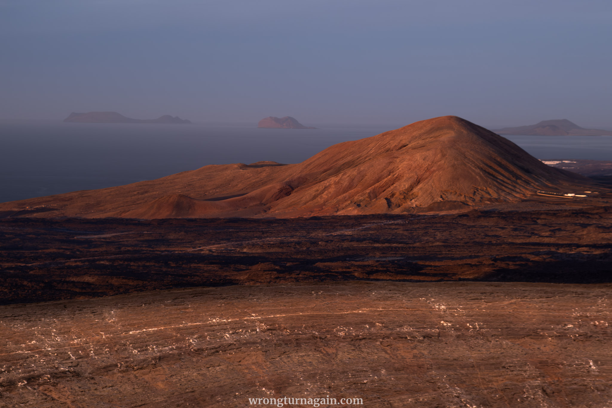
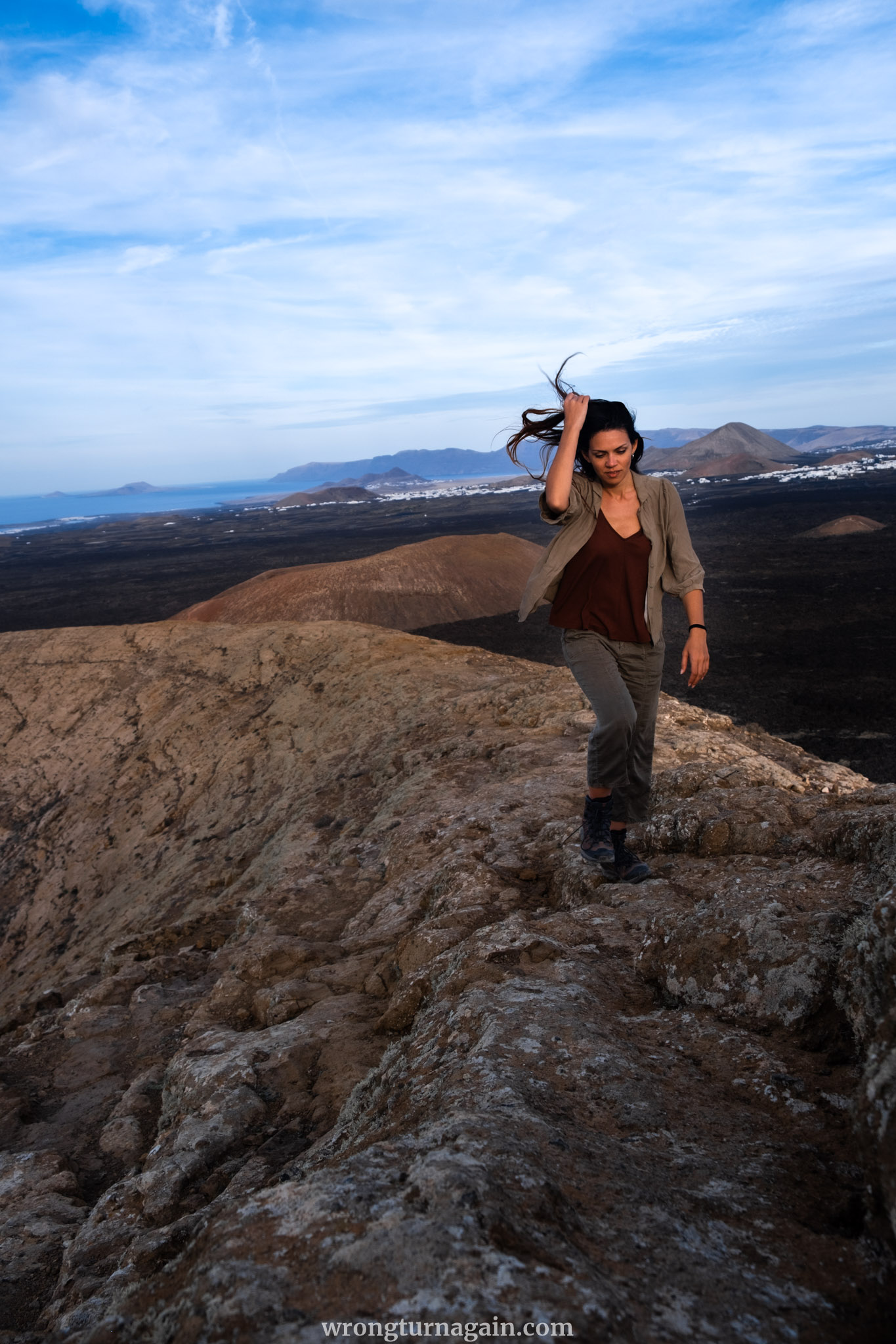
The panoramic spectacle from this vantage point is nothing short of awe-inspiring: to the south, the Fire Mountains dominate the horizon; to the east lie the picturesque villages of Mancha Blanca and Tinajo, while to the northeast, the rugged cliffs of Risco de Famara plunge dramatically towards the sea. And on the distant horizon, the Chinijo archipelago beckons, comprising the islands of La Graciosa, Alegranza, and Montaña Clara.
Tip: For an unparalleled panoramic vista of the Chinijo archipelago, venture to the Mirador del Río, a must-visit destination in Lanzarote renowned for its breathtaking views.
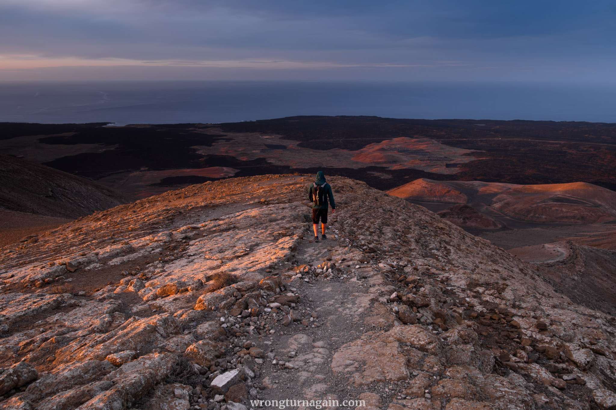
Section 4 – Descending the Caldera
After savoring the panoramic vista, it’s time to begin your descent along the crater rim, sloping towards the west.
To your left, a saddle connects to the adjacent crater, Risco Quebrado. However, you maintain your course along the crater rim, gradually descending on a well-trodden path toward its lowest point. Unless you want to descend into the cauldron, keep an eye out for cairns and veer slightly left, departing from the crater rim to initiate your descent. The trail begins just before the rim begins to rise again.
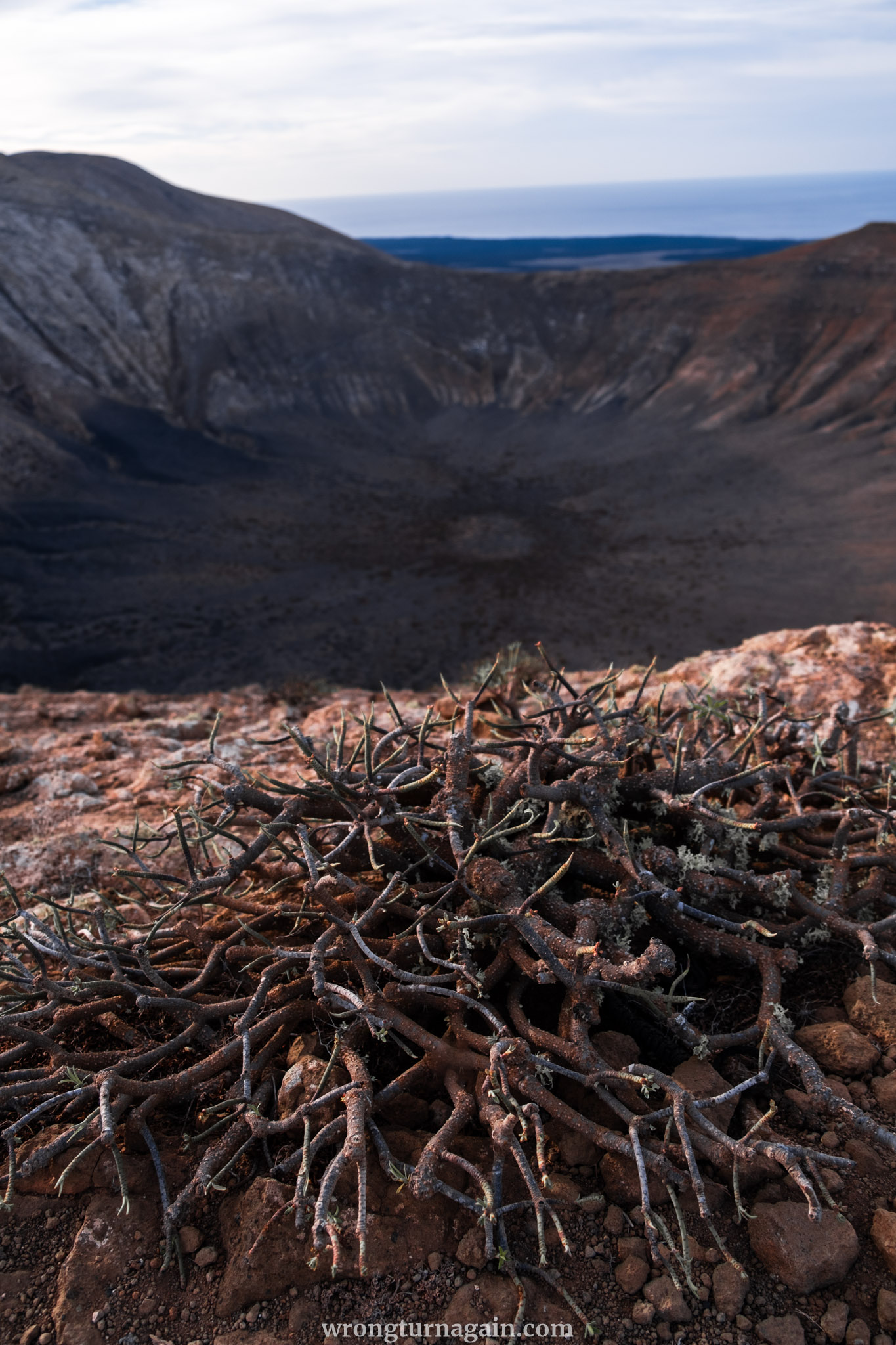
Traversing an old shepherd’s path on the western flank of the caldera, you eventually arrive at the base of Caldera Blanca. Here, you’ll encounter a gravel road intersecting your path. While Casas del Islote lies to the left, you’ll veer right, heading towards Montaña Teneza. After approximately 50 meters, remain on the main path at a fork, which continues directly along the base of the caldera.
The gravel road culminates at a turning circle, where a path veering left commences through the lava-strewn landscape, marked by cairns, leading back towards the caldera. As you approach the entrance to the caldera, you reunite with the familiar path from your outbound journey, guiding you back to the hikers’ parking lot.

Best Cafés and Restaurants
If you’re seeking a quick snack to fuel your hike, a convenient snack bar awaits next to the supermarket in Mancha Blanca. For a satisfying post-hike meal, an array of dining options lie within a 4km radius of Mancha Blanca. Here are some of our top picks:
- Bodegas Guiguan S. L., Tajaste: Indulge in exquisite wines crafted with traditional winemaking methods and locally sourced grapes.
- Restaurante Grill Casa Satorno, Tinguatón: Delight your palate with succulent grilled meat dishes served in a cozy village atmosphere.
- Majo Picón, Tinajo: Experience authentic Spanish cuisine in a welcoming local bar ambiance; reservations recommended.
- Cervecera Malpeis, Tinajo: Immerse yourself in vibrant vibes and savor delectable fare at this artisan brewery taphouse.
- Restaurante Mezzaluna, Tinajo: Craving pizza or pasta? Look no further than this Italian gem.
- El Volcán, Mancha Blanca: For a quick bite or light meal, this café bar offers a delightful selection of sandwiches and tapas.

Where to Stay near Caldera Blanca
In Lanzarote, proximity to the trailhead is never an issue due to its compact size. However, if you seek lodging close to Caldera Blanca, Mancha Blanca emerges as the prime choice. Nestled just a stone’s throw away, this tranquil settlement boasts the convenience of the volcano’s trailhead within a mere 15-minute walk.
Nearby villages such as Tajaste and Tinajo, situated a few kilometers north of Mancha Blanca, offer similar accommodation options, ranging from cozy guesthouses to rustic rural hotels and charming vacation rentals. Additionally, each of these locales hosts a handful of delightful eateries.
For those drawn to the coastal allure, Famara presents an enticing option. This laid-back village boasts mesmerizing vistas of the ocean and the neighboring volcanic terrain. While slightly farther from Caldera Blanca, Famara compensates with a plethora of accommodation choices and a selection of trendy eateries and bars. Notably, Famara Beach stands out as an ideal spot for campervan enthusiasts to unwind and spend the night amidst the island’s natural beauty.

Where to Stay: Casita Blanca, Mancha Blanca ~ Pico Partido Villa, Mancha Blanca ~ Hotelito Rural Flor de Timanfaya, Tajaste ~ Casa Emblemática Garaday Lanzarote, Tinajo ~ Casa Tilama, Tinajo

When to Hike Caldera Blanca
For the best hiking experience, consider scheduling your trek to Caldera Blanca during the cooler months, which run from October to April. During this period, temperatures are moderate, rendering the hike more comfortable, especially considering the exposed terrain and the heat emanating from the volcanic landscape. Nonetheless, it’s advisable to avoid hiking during the midday hours even in these cooler seasons.
Caldera Blanca is a popular route, but its length means you’re less likely to encounter many other hikers compared to shorter trails like Caldera de los Cuervos. Even so, visiting in the late afternoon or early evening ensures a quieter atmosphere, allowing you to savor the tranquility of the surroundings. The soft lighting at this time also enhances photography opportunities, casting enchanting shadows over the volcanic landscape.

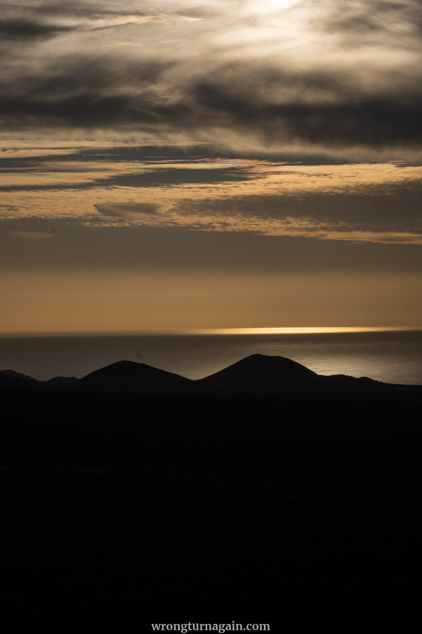
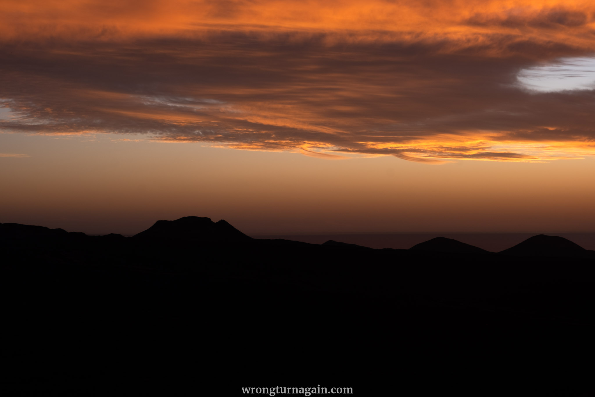
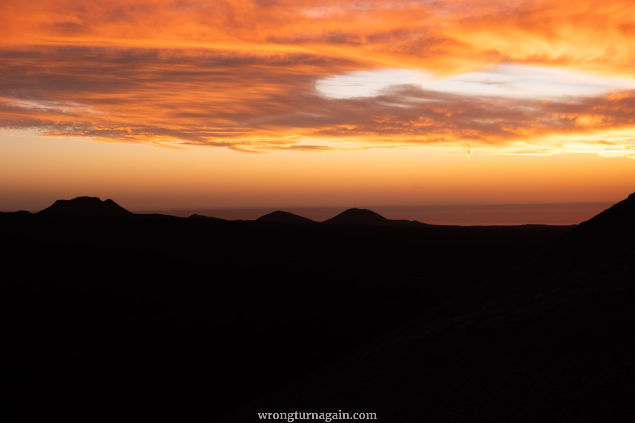
On our visit, we hiked to Caldera Blanca in the late afternoon with plans to return to our van before nightfall. Yet, we were mesmerized by the stunning landscape as the sun dipped below the horizon and we stayed to witness the sunset from the summit. Although this choice treated us to an unforgettable sunset view, it also entailed a 30-minute hike back in the dark—an adventure in its own right.

Tips for Hiking Caldera Blanca
Embarking on a hike to Caldera Blanca involves traversing lava paths and trails, including ascents. To ensure a safe and enjoyable experience, keep these essential tips in mind:
- Choose Proper Footwear: Opt for sturdy footwear suitable for rugged terrain, avoiding flip-flops or sandals due to the uneven volcanic cobblestone surface. Remember, you’re trekking among volcanoes!
- Bring Essential Gear: Pack essentials such as water, snacks, sunglasses, a hat or cap, sunscreen, and a windbreaker jacket to shield against the elements.
- Stick to Designated Paths: Stay on the marked trails to prevent getting lost, as navigating through solidified lava flows can be challenging and damaging to the delicate lichen ecosystem.
- Exercise Caution at the Summit: Be cautious when hiking the volcano’s peak, as strong winds are common and can disorient or pose a risk.
- Timing Matters: Start your hike early in the morning to avoid the peak heat of the day. If venturing late in the afternoon, plan to return to your vehicle before nightfall, as navigating the lava fields after dark can be challenging, particularly without GPS assistance.